
1901 Map of Marshall
USGS Topo · Published 1901About this map
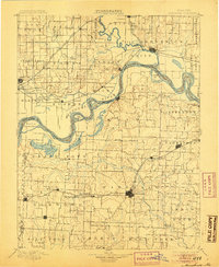
The Missouri River cuts a sweeping path through this 1901 map, defining the boundaries and character of Saline, Carroll, and Chariton counties. Major transport hubs like Marshall and Carrollton anchor the region, connected by a network of three major rail lines including the Atchison Topeka and Santa Fe Railroad. The river's influence is evident in the numerous islands and river-adjacent lakes such as Backbone Lake and Grand Pass Lake, as well as the placement of settlements like Miami and De Witt along its banks. Farther south, the landscape transitions into the rolling terrain of Salt Fork and Elm Wood, where small farming communities such as Shackleford, Mt. Leonard, and Blackburn follow the route of the Chicago and Alton Railroad across the prairie.
Find a feature on this map
97 named features on this map. Tap any name to fly to it.
Don’t see what you’re looking for? This feature index may not catch every label — zoom into the map to look around manually.
Map Details
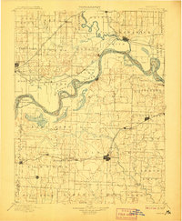
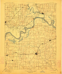
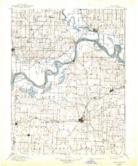
Editions of this 1901 Marshall Map
5 editions found
Other maps of this area

1885 · Warrensburg
USGS Topo · 1:125,000

1887 · Sedalia
USGS Topo · 1:125,000

1887 · Warrensburg
USGS Topo · 1:125,000

1888 · Boonville
USGS Topo · 1:125,000

1889 · Lexington
USGS Topo · 1:125,000

1890 · Glasgow
USGS Topo · 1:125,000

1890 · Marshall
USGS Topo · 1:125,000

1892 · Marshall
USGS Topo · 1:125,000

1894 · Sedalia
USGS Topo · 1:125,000

1894 · Warrensburg
USGS Topo · 1:125,000