
Historical Maps of Lafayette County, Missouri
What stories do these 136 old maps tell about Lafayette County's past? From 1885 to present day, these maps reveal the evolution of streets, neighborhoods, iconic landmarks, and natural features in stunning high-res detail. Whether you're a history enthusiast, genealogist, or professional in education, environmental work, or architecture, these maps are perfect for exploration, research, and discovery.
Discover Lafayette County's history through maps:
- Trace Lafayette County's growth: Explore earlier and latest maps and editions to uncover how the region changed over time.
- Examine technical details: Each map includes its creators, publishers, scale, dimensions, and full source information.
- Layer maps with modern tools & imagery: Compare historical maps to modern-day with high-resolution satellite imagery and detailed LiDAR layers.
- Sourced from trusted archives: Carefully preserved and digitized by institutions like the United Stated Geological Survey and the US Library of Congress.
- Access in any format: View and explore in high resolution, download for offline use, or order a museum-quality print for yourself or a loved one.
Begin your journey into Lafayette County's history with these remarkable must-see maps.
Lafayette County, MO maps
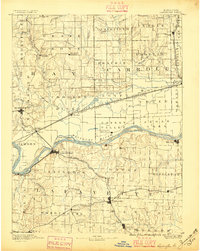
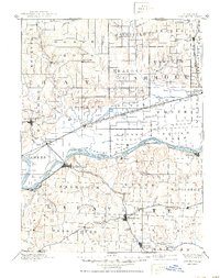
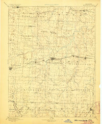
(136)- 1885 Map of Warrensburg, 1954 Print
 1885 Warrensburg1954 Print · USGSCovers Lafayette County, including Warrensburg, Odessa, and other nearby areas
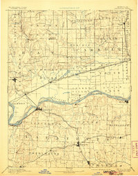
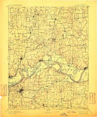
 - 1887 Map of Harrisonville
 1887 Harrisonville1887 Print · USGSCovers Lafayette County, including Kansas City, Lee's Summit, and other nearby areas
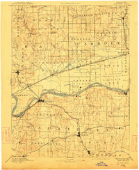
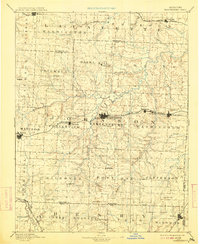
 - 1887 Map of Sedalia
 1887 Sedalia1887 Print · USGSCovers Lafayette County, including Sedalia, Sweet Springs, and other nearby areas
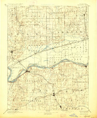
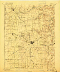
 - 1887 Map of Warrensburg
 1887 Warrensburg1887 Print · USGSCovers Lafayette County, including Warrensburg, Odessa, and other nearby areas
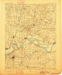
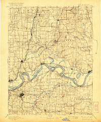
 - 1889 Map of Lexington
 1889 Lexington1889 Print · USGSCovers Lafayette County, including Richmond, Odessa, and other nearby areas
 - 1889 Map of Lexington, 1896 Print
 1889 Lexington1896 Print · USGSCovers Lafayette County, including Richmond, Odessa, and other nearby areas
 - 1889 Map of Lexington, 1906 Print
 1889 Lexington1906 Print · USGSCovers Lafayette County, including Richmond, Odessa, and other nearby areas
 - 1889 Map of Lexington, 1912 Print
 1889 Lexington1912 Print · USGSCovers Lafayette County, including Richmond, Odessa, and other nearby areas
 - 1889 Map of Lexington, 1927 Print
 1889 Lexington1927 Print · USGSCovers Lafayette County, including Richmond, Odessa, and other nearby areas
 - 1889 Map of Lexington, 1950 Print
 1889 Lexington1950 Print · USGSCovers Lafayette County, including Richmond, Odessa, and other nearby areas
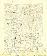
 - 1890 Map of Marshall
 1890 Marshall1890 Print · USGSCovers Lafayette County, including Marshall, Carrollton, and other nearby areas
 - 1892 Map of Marshall, 1896 Print
 1892 Marshall1896 Print · USGSCovers Lafayette County, including Marshall, Carrollton, and other nearby areas
 - 1892 Map of Harrisonville, 1902 Print
 1892 Harrisonville1902 Print · USGSCovers Lafayette County, including Kansas City, Lee's Summit, and other nearby areas
 - 1892 Map of Harrisonville, 1932 Print
 1892 Harrisonville1932 Print · USGSCovers Lafayette County, including Kansas City, Lee's Summit, and other nearby areas
 - 1894 Map of Harrisonville
 1894 Harrisonville1894 Print · USGSCovers Lafayette County, including Kansas City, Lee's Summit, and other nearby areas
 - 1894 Map of Sedalia
 1894 Sedalia1894 Print · USGSCovers Lafayette County, including Sedalia, Sweet Springs, and other nearby areas
 - 1894 Map of Independence
 1894 Independence1894 Print · USGSCovers Lafayette County, including Kansas City, Independence, and other nearby areas
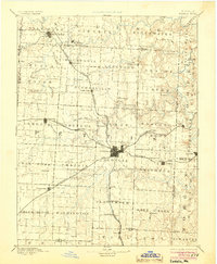
 - 1894 Map of Warrensburg
 1894 Warrensburg1894 Print · USGSCovers Lafayette County, including Warrensburg, Odessa, and other nearby areas
 - 1894 Map of Independence, 1901 Print
 1894 Independence1901 Print · USGSCovers Lafayette County, including Kansas City, Independence, and other nearby areas
 - 1894 Map of Sedalia, 1904 Print
 1894 Sedalia1904 Print · USGSCovers Lafayette County, including Sedalia, Sweet Springs, and other nearby areas
 - 1894 Map of Warrensburg, 1905 Print
 1894 Warrensburg1905 Print · USGSCovers Lafayette County, including Warrensburg, Odessa, and other nearby areas
 - 1894 Map of Independence, 1910 Print
 1894 Independence1910 Print · USGSCovers Lafayette County, including Kansas City, Independence, and other nearby areas
 - 1894 Map of Warrensburg, 1913 Print
 1894 Warrensburg1913 Print · USGSCovers Lafayette County, including Warrensburg, Odessa, and other nearby areas
 - 1894 Map of Sedalia, 1916 Print
 1894 Sedalia1916 Print · USGSCovers Lafayette County, including Sedalia, Sweet Springs, and other nearby areas
 - 1894 Map of Independence, 1921 Print
 1894 Independence1921 Print · USGSCovers Lafayette County, including Kansas City, Independence, and other nearby areas
Showing maps 1-25 of 136
Top cities in Lafayette County
- Odessa historical maps
- Higginsville historical maps
- Lexington historical maps
- Concordia historical maps
- Waverly historical maps
- Wellington historical maps
See more
Frequently asked questions
- What are the different types of historical maps available for Lafayette County?
- What is the oldest map of Lafayette County?
- Where can I purchase historical maps of Lafayette County for my home or office?
- Where can I download high-res historical maps of Lafayette County?
- Are there historical topographic maps available for Lafayette County?
- Is there historical aerial imagery available for Lafayette County?
- Where are historical maps of Lafayette County sourced from?