
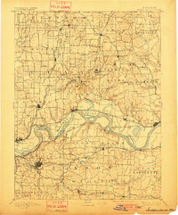
1894 Map of Independence
USGS Topo · Published 1894About this map
The Missouri River dominates this late-nineteenth-century landscape, winding between steep bluffs and expansive floodplains that define the border between Clay and Jackson counties. A complex network of steam-era transportation converges here, with several major lines including the Wabash Railroad and the Chicago Milwaukee and St. Paul Railroad paralleling the riverbanks or striking out toward developing hubs like Liberty and Excelsior Springs. The map reveals the critical relationship between the river and early commerce, noted by Liberty Landing and riverine features like Liberty Island and Blue Mills Island. Beyond the river valley, the terrain transitions into the upland prairies and dissected hills where smaller settlements such as Sibley, Buckner Hill, and Missouri City served as local trade centers. The detailed recording of numerous small creeks, such as Clear Creek and Little Blue River, illustrates the natural drainage patterns that dictated early road and rail placement.
Find a feature on this map
113 named features on this map. Tap any name to fly to it.
Don’t see what you’re looking for? This feature index may not catch every label — zoom into the map to look around manually.
Map Details
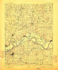
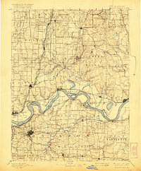
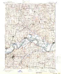
Editions of this 1894 Independence Map
5 editions found
Historical Maps of Kansas City Through Time
11 maps found
1894 Independence
Jackson County, MO
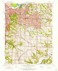
1934 Independence
Jackson County, MO
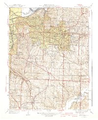
1940 Independence
Jackson County, MO
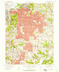
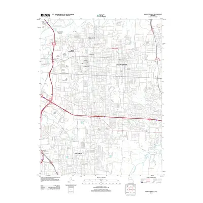
1957 Independence
Jackson County, MO
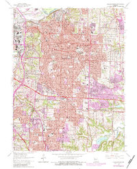
1964 Independence
Jackson County, MO
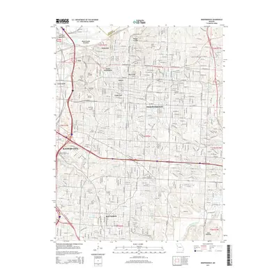
1990 Independence
Jackson County, MO
1996 Independence
Jackson County, MO
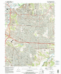
2012 Independence
Jackson County, MO
2015 Independence
Jackson County, MO
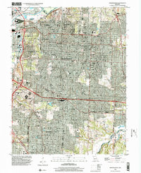
2017 Independence
Jackson County, MO
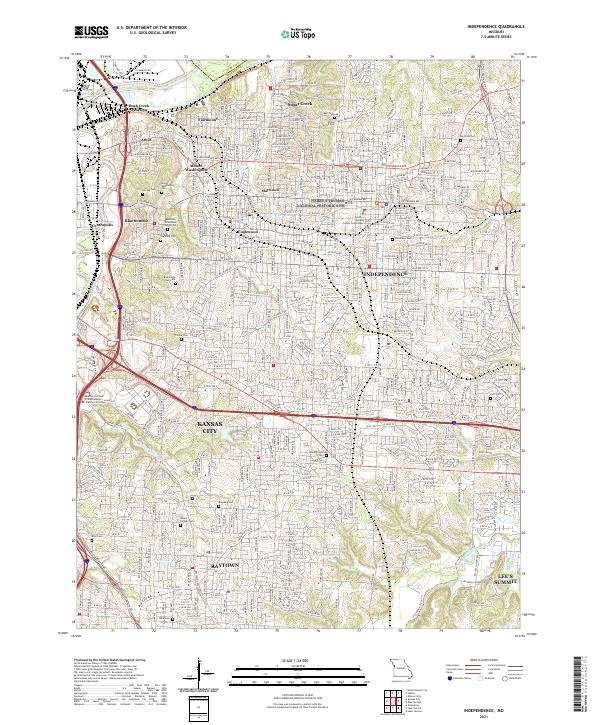
2021 Independence
Jackson County, MO