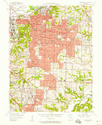
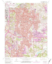
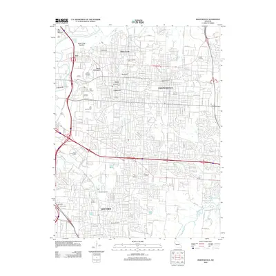
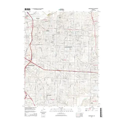
1957 Map of Independence
USGS Topo · Published 1958About this map
The Independence area during the mid-1950s serves as a dense crossroads of Missouri history, dominated by the urban expansion and civic institutions of Jackson County. The newly established Harry S Truman Memorial Library stands as a prominent landmark near the city center, while industrial activity is concentrated to the north at the large Oil Refinery along the Missouri River. The landscape is a network of mid-century suburban growth, evidenced by the numerous schools such as Chrisman High Sch No 2 and Van Horn High Sch.
Find a feature on this map
91 named features on this map. Tap any name to fly to it.
Don’t see what you’re looking for? This feature index may not catch every label — zoom into the map to look around manually.
Map Details
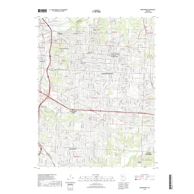
Editions of this 1957 Independence Map
This is the sole edition of this map. No revisions or reprints were ever made.
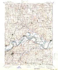
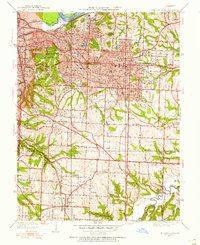
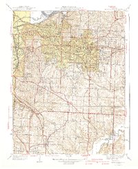
Historical Maps of Kansas City Through Time
11 maps found
1894 Independence
Jackson County, MO
1934 Independence
Jackson County, MO
1940 Independence
Jackson County, MO
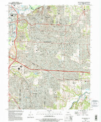
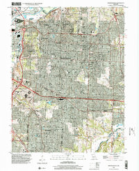
1957 Independence
Jackson County, MO
1964 Independence
Jackson County, MO
1990 Independence
Jackson County, MO
1996 Independence
Jackson County, MO
2012 Independence
Jackson County, MO
2015 Independence
Jackson County, MO
2017 Independence
Jackson County, MO
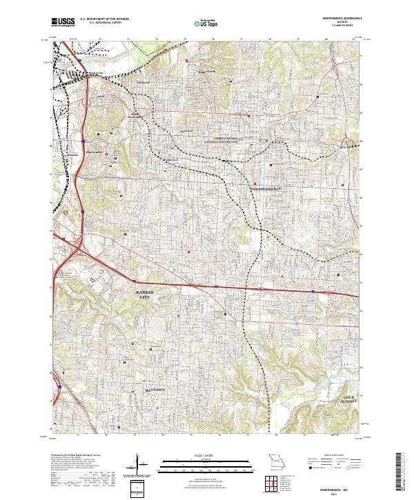
2021 Independence
Jackson County, MO