
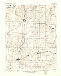
1893 Map of Olathe
USGS Topo · Published 1893About this map
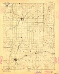
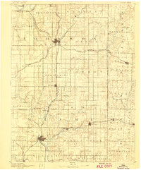
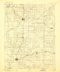
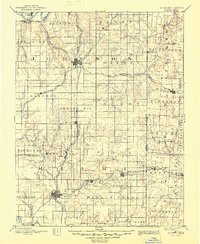
Olathe and Paola anchor this late-nineteenth-century study of the Eastern Kansas and Western Missouri borderlands. The landscape is defined by the convergence of major rail corridors, including the Atchison Topeka & Santa Fe Railroad and the Kansas City Fort Scott and Gulf Railroad, which established the towns of Ocheltree, Bonita, and Lenexa as vital transit points. The survey illustrates the rural township structure of Johnson and Miami counties, revealing a transition from the riparian valleys of the Kansas River in the north to the Marias Des Cygnes River in the south.
Find a feature on this map
84 named features on this map. Tap any name to fly to it.
Don’t see what you’re looking for? This feature index may not catch every label — zoom into the map to look around manually.
Map Details
Editions of this 1893 Olathe Map
6 editions found
Other maps of this area

1885 · Garnett
USGS Topo · 1:125,000

1885 · Lawrence
USGS Topo · 1:125,000

1886 · Oskaloosa
USGS Topo · 1:125,000

1887 · Harrisonville
USGS Topo · 1:125,000

1887 · Olathe
USGS Topo · 1:125,000

1887 · Butler
USGS Topo · 1:125,000

1887 · Mound City
USGS Topo · 1:125,000

1888 · Oskaloosa
USGS Topo · 1:125,000

1889 · Lawrence
USGS Topo · 1:125,000

1890 · Kansas City
USGS Topo · 1:125,000