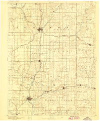
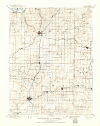
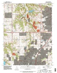
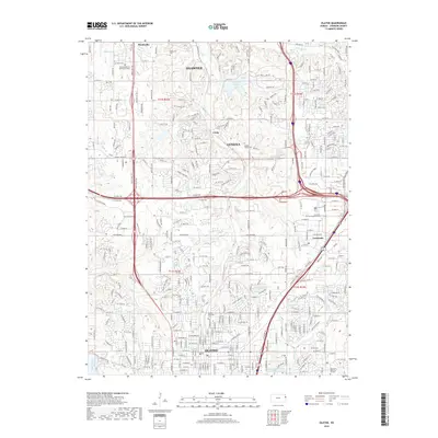
1893 Map of Olathe
USGS Topo · Published 1906About this map
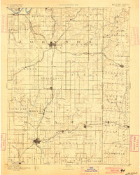
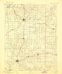
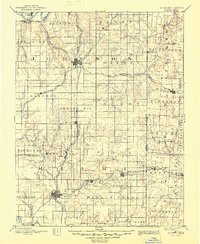
Olathe and Paola serve as central nodes for a landscape defined by its burgeoning rail network and agricultural townships in the late nineteenth century. Surveyed in 1885, this region reveals the early development of Johnson and Miami counties before the suburban expansion of Kansas City. The Kansas City Fort Scott and Gulf Railroad bisects the terrain north to south, connecting smaller depots like Bonita, Ocheltree, and Springhill. To the west, the Atchison Topeka & Santa Fe Railroad follows the Kansas River corridor near De Soto.
Find a feature on this map
92 named features on this map. Tap any name to fly to it.
Don’t see what you’re looking for? This feature index may not catch every label — zoom into the map to look around manually.
Map Details
Editions of this 1893 Olathe Map
6 editions found

Historical Maps of Kansas City Through Time
12 maps found

1887 Olathe
Johnson County, KS
1893 Olathe
Johnson County, KS
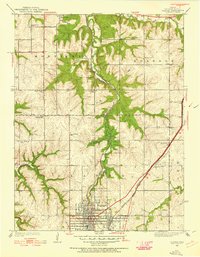
1935 Olathe
Johnson County, KS
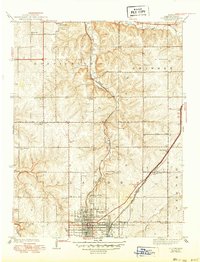
1943 Olathe
Johnson County, KS
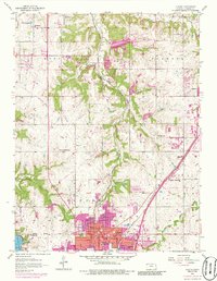
1956 Olathe
Johnson County, KS

1983 Olathe
Johnson County, KS
1991 Olathe
Johnson County, KS
2009 Olathe
Johnson County, KS
2012 Olathe
Johnson County, KS
2015 Olathe
Johnson County, KS
2018 Olathe
Johnson County, KS
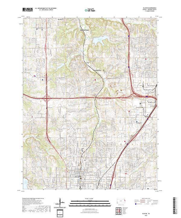
2022 Olathe
Johnson County, KS