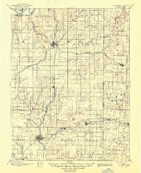
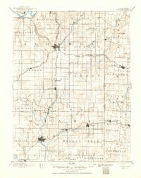
1893 Map of Olathe
USGS Topo · Published 1945About this map
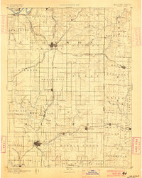
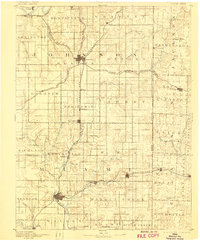
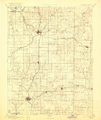
The Kansas River cuts across the northern edge of this 1885 survey area, anchoring a landscape defined by the rapid expansion of the nineteenth-century railroad network. Hubs like Olathe and Paola emerge as critical junctions where several major lines converge, including the Atchison Topeka & Santa Fe Railroad and the Kansas City Gulf and Fort Scott City Railroad. The map documents the borderlands between Kansas and Missouri, showing early development in townships such as Monticello and Oxford. The intricate drainage systems of Big Bull Creek and Wea Creek illustrate the natural topography that shaped the placement of early settlements like Louisburg and Lenexa. This survey captures the transition from a river-dependent economy to one dominated by rail transit, featuring numerous small stops such as Bonita, Ocheltree, and Somerset.
Find a feature on this map
93 named features on this map. Tap any name to fly to it.
Don’t see what you’re looking for? This feature index may not catch every label — zoom into the map to look around manually.
Map Details
Editions of this 1893 Olathe Map
6 editions found

Other maps of this area

1885 · Garnett
USGS Topo · 1:125,000

1885 · Lawrence
USGS Topo · 1:125,000

1886 · Oskaloosa
USGS Topo · 1:125,000

1887 · Harrisonville
USGS Topo · 1:125,000

1887 · Olathe
USGS Topo · 1:125,000

1887 · Butler
USGS Topo · 1:125,000

1887 · Mound City
USGS Topo · 1:125,000

1888 · Oskaloosa
USGS Topo · 1:125,000

1889 · Lawrence
USGS Topo · 1:125,000

1890 · Kansas City
USGS Topo · 1:125,000