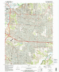
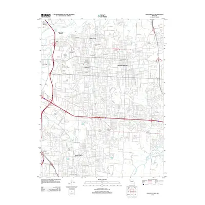
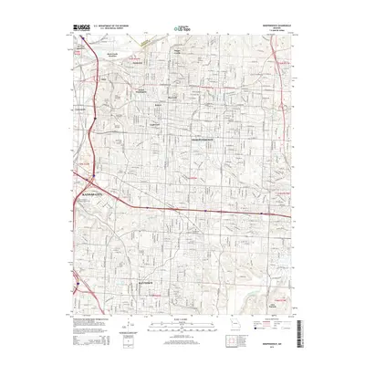
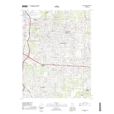
1990 Map of Independence
USGS Topo · Published 1995About this map
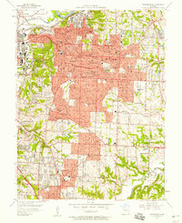
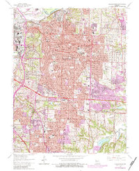
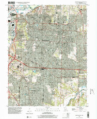
The Missouri River and Blue River converge at the northern edge of this urban landscape, where the industrial corridors of Sugar Creek and Fairmount meet the residential expansion of the late twentieth century. This 1990 revision highlights a complex infrastructure of rail junctions and highways, including the Southeast Freeway and the Kansas City Southern railroad. Notable landmarks tied to local history include the Truman Library and the extensive Harry S Truman Sports Complex to the west. The map is particularly dense with historic burial grounds like Mt Washington Cemetery and Woodlawn Cemetery, which provide significant data for genealogists. The topography reveals the transition from the river bottomlands to the developed ridges of Independence and Raytown, shaped by the proximity of the Little Blue River and several quarries.
Find a feature on this map
62 named features on this map. Tap any name to fly to it.
Don’t see what you’re looking for? This feature index may not catch every label — zoom into the map to look around manually.
Map Details
Editions of this 1990 Independence Map
This is the sole edition of this map. No revisions or reprints were ever made.
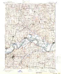
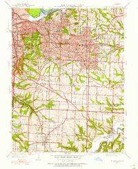
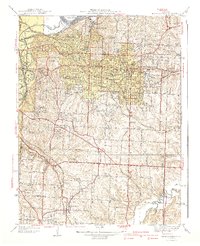
Historical Maps of Kansas City Through Time
11 maps found
1894 Independence
Jackson County, MO
1934 Independence
Jackson County, MO
1940 Independence
Jackson County, MO
1957 Independence
Jackson County, MO
1964 Independence
Jackson County, MO
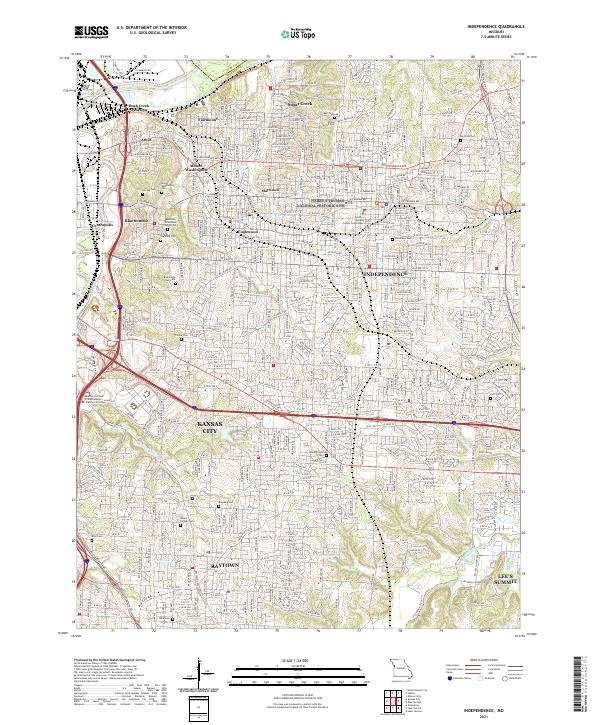
1990 Independence
Jackson County, MO
1996 Independence
Jackson County, MO
2012 Independence
Jackson County, MO
2015 Independence
Jackson County, MO
2017 Independence
Jackson County, MO
2021 Independence
Jackson County, MO