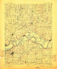
1894 Map of Independence
USGS Topo · Published 1910About this map
Independence serves as a major hub south of the river in this late 19th-century landscape, which is defined by the winding course of the Missouri River and its intricate network of floodplain features. The river's path is marked by significant landmarks such as Liberty Island and Blue Mills Island, while settlements like Liberty Landing and Missouri City underscore the importance of riverfront access during this era. The terrain transitions from the low-lying wetlands of Cooley Lake and Browns Lake to the upland territories of Liberty and Excelsior Springs.
Find a feature on this map
107 named features on this map. Tap any name to fly to it.
Don’t see what you’re looking for? This feature index may not catch every label — zoom into the map to look around manually.
Map Details
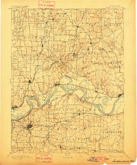
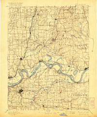
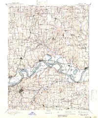
Editions of this 1894 Independence Map
5 editions found

Other maps of this area

1885 · Warrensburg
USGS Topo · 1:125,000

1887 · Harrisonville
USGS Topo · 1:125,000

1887 · Olathe
USGS Topo · 1:125,000

1887 · Warrensburg
USGS Topo · 1:125,000

1889 · Lexington
USGS Topo · 1:125,000

1890 · Kansas City
USGS Topo · 1:125,000

1892 · Harrisonville
USGS Topo · 1:125,000

1893 · Olathe
USGS Topo · 1:125,000

1894 · Kansas City
USGS Topo · 1:125,000

1894 · Harrisonville
USGS Topo · 1:125,000