Old Maps of Mayview, Missouri
Explore 12 old maps of Mayview, spanning from 1889 to today. These high-resolution historic maps reveal how streets, neighborhoods, landmarks, and natural features evolved over time — perfect for genealogy, metal detecting, research, and local history exploration.
What you can do with these maps:
- See how Mayview changed over time: Compare historical maps to modern-day views to trace roads, homesites, rail lines & more.
- View detailed metadata: Each map includes creators, publishers, year, scale, and archive source.
- Overlay maps with satellite & LiDAR: Visualize the past alongside modern tools to explore terrain & human change.
- Trusted historical sources: Maps sourced from the USGS, Library of Congress, and other archives.
- Access maps your way: View online, download high-res files, or order prints for personal or research use.
Start exploring old maps of Mayview to uncover forgotten places, hidden landmarks, and the deep history beneath your feet.
Mayview, MO maps
(12)- 1889 Map of Lexington
 1889 Lexington1889 Print · USGSLafayette and Ray Counties are captured here during the late nineteenth-century rail boom. Researchers can trace the development of river towns and rail junctions like Lexington, Lexington Junction, and the riverside landing at Miles Point.6 unique versions available
 - 1949 Map of Mayview, 1956 Print
 1949 Mayview1956 Print · USGSLafayette County agricultural and mining life is captured here in the late Forties, centered on the railroad town of Mayview. Genealogists and historians can locate numerous rural schools like Plum Grove Sch and churches including Marvin Chapel.2 unique versions available
 - 1950 Map of Mayview
 1950 Mayview1950 Print · USGSLafayette County was a landscape of coal mining and country schoolhouses at mid-century, centered on the rail hub of Mayview. Researchers can trace old family landmarks like Marvin Chapel and numerous vanished rural schools, including Wheatly Sch and Elm Grove Sch.
 - 1953 Map of Moberly
 1953 Moberly1953 Print · USGSMid-century north-central Missouri is documented here as a bustling intersection of river commerce and heavy rail. Researchers can trace historic family-named landmarks and transport hubs from the Missouri River corridor to the rail yards of Moberly, Chillicothe, and Macon.
 - 1954 Map of Moberly, 1969 Print
 1954 Moberly1969 Print · USGSMid-century Missouri is captured here during a period of transition for its river towns and rail hubs. Genealogists and historians can trace the paths of the Wabash railroad through Moberly or explore the riverside layout of Lexington and Brunswick.3 unique versions available
 - 1957 Map of Moberly
 1957 Moberly1957 Print · USGSNorth-central Missouri in the late nineteen-forties and fifties remains a landscape defined by its great rivers and a dense network of steam and diesel rail lines. Genealogists and historians can trace the paths of the Wabash RR and Santa Fe RR through historic junctions like Moberly, Brookfield, and Macon.
 - 1960 Map of Moberly
 1960 Moberly1960 Print · USGSCentral Missouri comes alive in the mid-twentieth century as a bustling network of river towns and significant rail corridors. Genealogists and historians can trace the paths of the Wabash RR through Moberly or explore the riverfronts of Lexington and Brunswick.
 - 1982 Map of Marshall
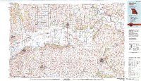 1982 Marshall1982 Print · USGSMid-Missouri river life and rail history meet in this early 1980s landscape, centered on the Missouri's winding course. Researchers can trace the historic Santa Fe Trail and explore sites like the Confederate Memorial State Park and Carrollton Mem Cemetery.
 - 2012 Map of Mayview, 2012 Print
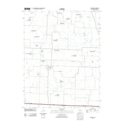 2012 Mayview2012 Print · USGSMayview and the surrounding Lafayette County countryside are shown here in the early twenty-first century, defined by a complex network of watershed dams and rural homesteads. Genealogists can locate Mayview Cemetery and Poole Cemetery or trace family roots near Stewart Lake and Beriz Lake.
 - 2015 Map of Mayview, 2015 Print
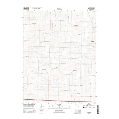 2015 Mayview2015 Print · USGSMayview and the surrounding farm country of Lafayette County are captured here in the early twenty-first century. Genealogists can trace family connections through the Mayview Cemetery, Sharp Cemetery, and old routes like Burns School Rd.
 - 2017 Map of Mayview, 2017 Print
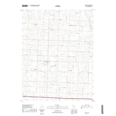 2017 Mayview2017 Print · USGSThe rural community of Mayview and its surrounding Lafayette County farmstead grid are shown here in the late 2010s. Researchers can trace family sites near Mayview-Zion Cemetery, or follow water features like Lake Mizzou and the winding Tabo Creek.
 - 2021 Map of Mayview, 2021 Print
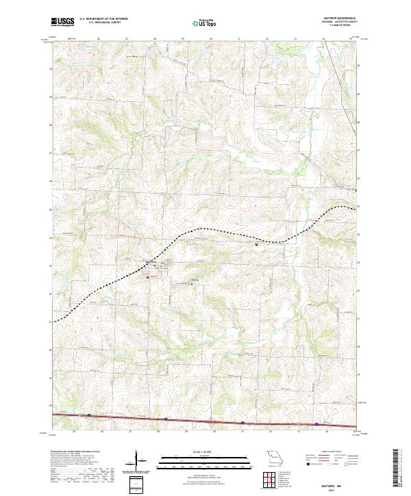 2021 Mayview2021 Print · USGSThe town of Mayview and its surrounding Lafayette County acreage are documented here in the early 2020s, showing a landscape of managed reservoirs and rural homesteads. Genealogists can locate specific burial sites at Mayview - Zion Cem and Poole Cem, or trace properties along Houx Rd and Rabius Rd.
End of results
Showing maps 1-12 of 12
Top cities near Mayview
- Richmond historical maps
- Odessa historical maps
- Higginsville historical maps
- Lexington historical maps
- Wellington historical maps
- Hardin historical maps
See more
Frequently asked questions
- What are the different types of historical maps available for Mayview?
- What is the oldest map of Mayview?
- Where can I purchase historical maps of Mayview for my home or office?
- Where can I download high-res historical maps of Mayview?
- Are there historical topographic maps available for Mayview?
- Is there historical aerial imagery available for Mayview?
- Where are historical maps of Mayview sourced from?