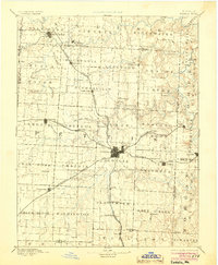
1894 Map of Sedalia
USGS Topo · Published 1904About this map
Sedalia serves as the central hub of this late 19th-century landscape, positioned at the convergence of several major rail lines including the Missouri Pacific Railroad and the Lexington Branch. The map illustrates a dense network of early settlements and agricultural communities, such as Sweet Springs in the northwest and Otterville in the east, which thrived along the region's complex water systems. Waterways like Black Water Creek and Flat Creek defined the boundaries and commerce of townships like Houstonia and Bowling Green. This survey, conducted just before the turn of the century, provides a look at the county seat and its satellite villages like Georgetown and Smithton during a peak era of rail expansion. The placement of small hamlets like Farmers City and Thornleigh relative to the tracks highlights how the steam engine reshaped the Missouri prairie by dictating where growth occurred.
Find a feature on this map
83 named features on this map. Tap any name to fly to it.
Don’t see what you’re looking for? This feature index may not catch every label — zoom into the map to look around manually.
Map Details
Editions of this 1894 Sedalia Map
5 editions found

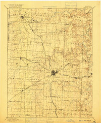
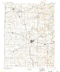
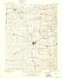
Other maps of this area

1885 · Warrensburg
USGS Topo · 1:125,000

1887 · Clinton
USGS Topo · 1:125,000

1887 · Sedalia
USGS Topo · 1:125,000

1887 · Warsaw
USGS Topo · 1:125,000

1887 · Warrensburg
USGS Topo · 1:125,000

1888 · Versailles
USGS Topo · 1:125,000

1888 · Boonville
USGS Topo · 1:125,000

1889 · Lexington
USGS Topo · 1:125,000

1890 · Glasgow
USGS Topo · 1:125,000

1890 · Marshall
USGS Topo · 1:125,000