Old Maps of Sedalia, Missouri
Explore 25 old maps of Sedalia, spanning from 1887 to today. These high-resolution historic maps reveal how streets, neighborhoods, landmarks, and natural features evolved over time — perfect for genealogy, metal detecting, research, and local history exploration.
What you can do with these maps:
- See how Sedalia changed over time: Compare historical maps to modern-day views to trace roads, homesites, rail lines & more.
- View detailed metadata: Each map includes creators, publishers, year, scale, and archive source.
- Overlay maps with satellite & LiDAR: Visualize the past alongside modern tools to explore terrain & human change.
- Trusted historical sources: Maps sourced from the USGS, Library of Congress, and other archives.
- Access maps your way: View online, download high-res files, or order prints for personal or research use.
Start exploring old maps of Sedalia to uncover forgotten places, hidden landmarks, and the deep history beneath your feet.
Sedalia, MO maps
(25)- 1887 Map of Sedalia
 1887 Sedalia1887 Print · USGSIn the late nineteenth century, the rail corridors of central Missouri radiated from the bustling hub of Sedalia. Researchers can trace the development of early settlements like Georgetown and Houstonia along the Missouri Pacific Railroad.
 - 1894 Map of Sedalia
 1894 Sedalia1894 Print · USGSCentral Missouri's rail-and-river network is frozen in time during the late 19th century, centered on the growing hub of Sedalia. Researchers can trace the path of the Sedalia Warsaw And Southwestern RR and find vanished points like Dumpville and Mc Allister Springs.5 unique versions available
 - 1944 Map of Sedalia West, 1963 Print
 1944 Sedalia West1963 Print · USGSCentral Missouri at the end of the Second World War shows a rural landscape surrounding the growing city of Sedalia. Genealogists and historians can trace family locations through numerous rural landmarks like Quisenberry Sch, Memorial Park Cem, and the State Fair Grounds.
 - 1944 Map of Sedalia East, 1966 Print
 1944 Sedalia East1966 Print · USGSAs Sedalia expanded during the mid-forties, it remained a vital railroad hub anchored by the Missouri Pacific Shops. Genealogists can trace family roots through numerous neighborhood schools like Whittier Sch or rural landmarks like Hebrew Cem and Backbone Ford.
 - 1946 Map of Sedalia West
 1946 Sedalia West1946 Print · USGSWestern Pettis County comes alive in this post-war survey, showing the agricultural prairie and rural school districts surrounding the county seat. Genealogists can locate family landmarks like Quisenberry Cem, Mc Kee Chapel, and the State Fair Grounds.2 unique versions available
 - 1946 Map of Sedalia East
 1946 Sedalia East1946 Print · USGSMid-century Pettis County centers on the bustling railroad city of Sedalia and its surrounding rural townships. Genealogists and historians can trace the foundations of local life through the Missouri Pacific Shops, Hebrew Cem, and country schools like Striped College Sch.2 unique versions available
 - 1947 Map of Jefferson City, 1949 Print
 1947 Jefferson City1949 Print · USGSCentral Missouri and the northern Ozarks come into focus in this late 1940s survey of the river-and-rail landscape. Genealogists and historians can trace the growth of Jefferson City and Sedalia or locate family roots near Bagnell Dam and the Lake of the Ozarks.
 - 1948 Map of Green Ridge
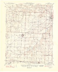 1948 Green Ridge1948 Print · USGSMid-Missouri farming and rail life are preserved here in the late 1940s, centered on the junction of three major railroads. Genealogists can locate dozens of rural landmarks, from the Quisenberry Cem to the one-room Prairie Flower Sch and McKee Chapel.2 unique versions available
 - 1954 Map of Jefferson City
 1954 Jefferson City1954 Print · USGSCentral Missouri in the early postwar years showcases a landscape defined by the winding Lake of the Ozarks and the state capital at Jefferson City. Researchers can trace the mid-century rail networks of the Missouri Pacific RR and locate rural communities like Tuscumbia, St Elizabeth, and St Anthony.2 unique versions available
 - 1955 Map of Jefferson City, 1967 Print
 1955 Jefferson City1967 Print · USGSCentral Missouri in the mid-fifties is defined by the winding Missouri River and the expanding reach of Lake of the Ozarks. Researchers can trace the rail corridors of the Missouri Pacific or locate the early footprint of Whiteman AFB and Jefferson City.4 unique versions available
 - 1958 Map of Jefferson City
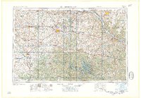 1958 Jefferson City1958 Print · USGSCentral Missouri in the late fifties shows a region transforming through the growth of Whiteman Air Force Base and the Lake of the Ozarks. Researchers can trace rail lines like the Missouri Pacific or find family roots at Enloe Cemetery and Mount Pleasant Cem.
 - 1959 Map of Jefferson City
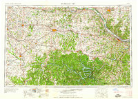 1959 Jefferson City1959 Print · USGSCentral Missouri is captured during the mid-fifties as the river economy and rail networks like the Missouri Pacific met the rise of the automobile. Local researchers can trace family landmarks and rural infrastructure from the Lake of the Ozarks up to Providence Cemetery and Knob Noster State Park.
 - 1973 Map of Sedalia East, 1975 Print
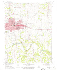 1973 Sedalia East1975 Print · USGSMid-century Sedalia is captured here as it expands east toward the regional airport and across the Missouri Pacific tracks. Genealogists and historians can trace numerous rural landmarks, including Crown Hill Cemetery, Goodwill Chapel, and the Striped College Sch.2 unique versions available
 - 1973 Map of Sedalia West, 1975 Print
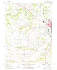 1973 Sedalia West1975 Print · USGSWestern Pettis County in the early seventies shows the growing edge of Sedalia as it meets the surrounding prairie and creek bottoms. Local researchers can trace old rail lines like the Missouri - Kansas - Texas, find rural landmarks like McKee Chapel, and locate family sites at Dresden Cem.
 - 1980 Map of Sedalia East, 1981 Print
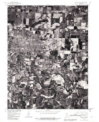 1980 Sedalia East1981 Print · USGSThe city of Sedalia is shown at a pivotal moment of growth in the early eighties, where urban development meets the Missouri prairie. Genealogists and researchers can trace the detailed street grid and land divisions near the winding Creek south of town.
 - 1980 Map of Sedalia West, 1981 Print
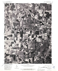 1980 Sedalia West1981 Print · USGSPettis County is captured during the early 1980s in this orthophotograph, showing the transition from urban edge to open farmland. Trace the 1980 footprint of Dresden and the western reaches of Sedalia alongside the waters of Muddy Creek.
 - 1983 Map of Sedalia
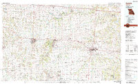 1983 Sedalia1983 Print · USGSWest Central Missouri's landscape in the early eighties shows a dense network of rail towns and riverside communities along the Blackwater River. Genealogists and historians can trace the development of Warrensburg and Sedalia near Whiteman Air Force Base and Knob Noster State Park.
 - 2011 Map of Sedalia East, 2011 Print
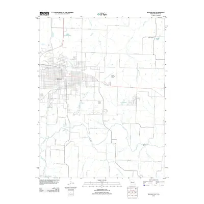 2011 Sedalia East2011 Print · USGSSedalia and its eastern rural fringes are documented here just after the first decade of the new millennium. Researchers can trace local genealogy through sites like Crown Hill Cemetery or locate the rural Backbone Ford along Flat Creek.
 - 2011 Map of Sedalia West, 2011 Print
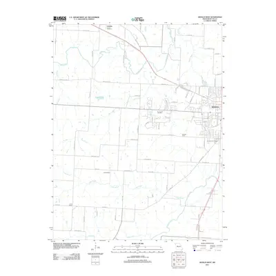 2011 Sedalia West2011 Print · USGSWestern Pettis County comes into focus in the early 2000s, showing the outskirts of a growing regional hub. Researchers can trace land use around Sedalia, locate burial sites like Quisenberry Cemetery, and map old rail sidings such as Campbell Siding.
 - 2014 Map of Sedalia East, 2014 Print
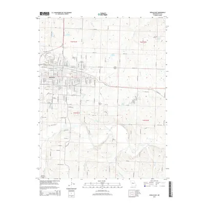 2014 Sedalia East2014 Print · USGSSedalia's eastern corridor is captured in the early 2010s, showing the intersection of municipal growth and rural Missouri heritage. Genealogists and local historians can trace burial sites and congregations at Crown Hill Cemetery, Goodwill Chapel, and the Hebrew Cemetery.
 - 2014 Map of Sedalia West, 2014 Print
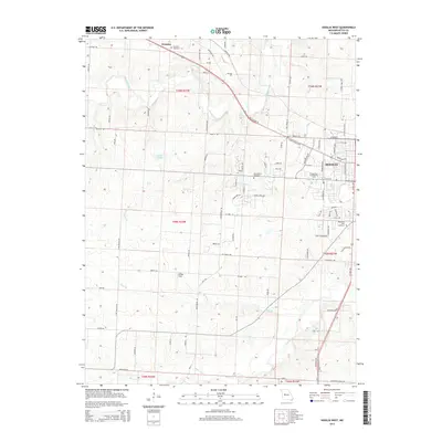 2014 Sedalia West2014 Print · USGSWest-central Missouri is documented here as the city of Sedalia expands into the surrounding Pettis County farmland. Genealogists and local historians can trace family locations near Dresden, the State Fair Community College, and along the historic Katy Trl.
 - 2017 Map of Sedalia West, 2017 Print
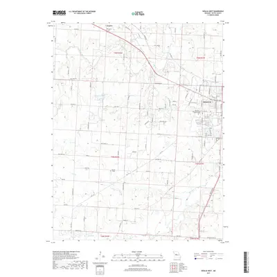 2017 Sedalia West2017 Print · USGSSedalia and its western rural reaches are captured here in the late 2010s, showing a landscape defined by collegiate growth and historic transit corridors. Genealogists and local historians can trace family-named sites like Quisenberry Cem or the old rail-to-trail path of the Katy Trl.
 - 2017 Map of Sedalia East, 2017 Print
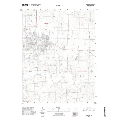 2017 Sedalia East2017 Print · USGSSedalia and the surrounding Missouri prairie are shown in detail during the late 2010s. Researchers can locate numerous historic burial grounds such as Crown Hill Cem and Abell Cem, alongside landmarks like the Sedalia Regional Airport.
 - 2021 Map of Sedalia West, 2021 Print
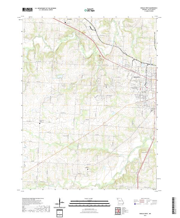 2021 Sedalia West2021 Print · USGSWestern Pettis County in the early 2020s shows the transition from the city of Sedalia to the surrounding farms and creek bottoms. Genealogists and local historians can trace family locations through sites like Dresden Cem, McKee Chapel Cem, and the path of the Katy Trl.
 - 2021 Map of Sedalia East, 2021 Print
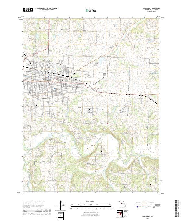 2021 Sedalia East2021 Print · USGSSedalia and its eastern rural fringes are documented here in the early 2020s, showcasing the transition from the city's historic center to the surrounding creek valleys. Researchers can trace local heritage through numerous sites including Crown Hill Cem, the Pettis County Courthouse, and the Katy Trl.
End of results
Showing maps 1-25 of 25
Top cities near Sedalia
- La Monte historical maps
- Smithton historical maps
- Otterville historical maps
- Green Ridge historical maps
- Houstonia historical maps
- Hughesville historical maps
Frequently asked questions
- What are the different types of historical maps available for Sedalia?
- What is the oldest map of Sedalia?
- Where can I purchase historical maps of Sedalia for my home or office?
- Where can I download high-res historical maps of Sedalia?
- Are there historical topographic maps available for Sedalia?
- Is there historical aerial imagery available for Sedalia?
- Where are historical maps of Sedalia sourced from?