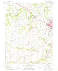
1973 Map of Sedalia West
USGS Topo · Published 1975About this map
The western expansion of Sedalia is the primary focus of this 1970s landscape, where the established city grid meets the agricultural reaches of Pettis County. The sprawling State Fairground and the campus of State Fair Community College serve as central landmarks on the urban fringe, while the Missouri Pacific and Missouri - Kansas - Texas railroads cut through the terrain, supporting the region's industrial and transport needs.
Find a feature on this map
45 named features on this map. Tap any name to fly to it.
Don’t see what you’re looking for? This feature index may not catch every label — zoom into the map to look around manually.
Map Details
Editions of this 1973 Sedalia West Map
This is the sole edition of this map. No revisions or reprints were ever made.
Other maps of this area

1887 · Sedalia
USGS Topo · 1:125,000

1894 · Sedalia
USGS Topo · 1:125,000

1939 · Sweet Springs
USGS Topo · 1:62,500

1940 · Sweet Springs
USGS Topo · 1:62,500

1941 · Sweet Springs
USGS Topo · 1:62,500

1944 · Sedalia West
USGS Topo · 1:24,000

1944 · Sedalia East
USGS Topo · 1:24,000

1945 · Sweet Springs
USGS Topo · 1:62,500

1946 · Sedalia West
USGS Topo · 1:24,000

1946 · Sedalia East
USGS Topo · 1:24,000