
1894 Map of Sedalia
USGS Topo · Published 1894About this map
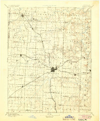
Sedalia serves as the central rail hub in this late 19th-century landscape, where the Missouri Pacific Railroad and Missouri Kansas And Texas Railroad intersect. The map illustrates a transition from the drainage basins of the Blackwater River and Heath Creek in the north toward the open stretches of Elk Fork Prairie. Smaller settlements like Georgetown and Mc Allister Springs anchor the surrounding rural townships, while the narrow-gauge Sedalia Warsaw And Southwestern RR strikes south toward Dumpville. The survey captures the region's development during a period when agrarian life was deeply integrated with the expanding rail network, visible in the placement of outlying stations like Beaman and Dresden.
Find a feature on this map
75 named features on this map. Tap any name to fly to it.
Don’t see what you’re looking for? This feature index may not catch every label — zoom into the map to look around manually.
Map Details
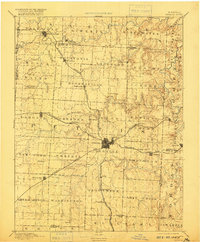
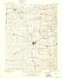
Editions of this 1894 Sedalia Map
5 editions found
Other maps of this area

1885 · Warrensburg
USGS Topo · 1:125,000

1887 · Clinton
USGS Topo · 1:125,000

1887 · Sedalia
USGS Topo · 1:125,000

1887 · Warsaw
USGS Topo · 1:125,000

1887 · Warrensburg
USGS Topo · 1:125,000

1888 · Versailles
USGS Topo · 1:125,000

1888 · Boonville
USGS Topo · 1:125,000

1889 · Lexington
USGS Topo · 1:125,000

1890 · Glasgow
USGS Topo · 1:125,000

1890 · Marshall
USGS Topo · 1:125,000