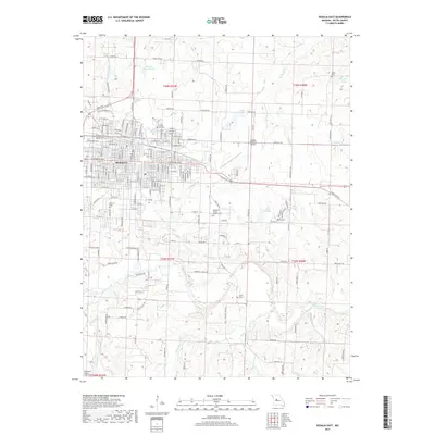
2017 Map of Sedalia East
USGS Topo · Published 2017About this map
The eastern half of Sedalia is the focus of this 2017 survey, where a complex grid of residential streets gives way to the open agricultural lands of Pettis County. The map provides a detailed view of the city's growth toward the Sedalia Regional Airport, showing the transition from urban neighborhoods to the sprawling outskirts. Genealogists will find a high concentration of burial sites, including the large Crown Hill Cem, Hebrew Cem, and the Highland Sacred Gardens Cem located south of the airport.
Find a feature on this map
53 named features on this map. Tap any name to fly to it.
Don’t see what you’re looking for? This feature index may not catch every label — zoom into the map to look around manually.
Map Details
Editions of this 2017 Sedalia East Map
This is the sole edition of this map. No revisions or reprints were ever made.
Other maps of this area

1887 · Sedalia
USGS Topo · 1:125,000

1894 · Sedalia
USGS Topo · 1:125,000

1939 · Sweet Springs
USGS Topo · 1:62,500

1940 · Sweet Springs
USGS Topo · 1:62,500

1941 · Sweet Springs
USGS Topo · 1:62,500

1944 · Sedalia West
USGS Topo · 1:24,000

1944 · Sedalia East
USGS Topo · 1:24,000

1945 · Sweet Springs
USGS Topo · 1:62,500

1946 · Sedalia West
USGS Topo · 1:24,000

1946 · Sedalia East
USGS Topo · 1:24,000