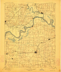
1901 Map of Marshall
USGS Topo · Published 1912About this map
The Missouri River and Grand River dictate the landscape of this region at the end of the nineteenth century, carving a path through the rich bottoms of Saline and Carroll Counties. This 1880s survey captures the era's critical rail-and-river economy, where the Chicago and Alton Railroad links agricultural hubs like Marshall, Slater, and Mt. Leonard. Further north, the Wabash Railroad serves river towns including Miami Station and Brunswick.
Find a feature on this map
105 named features on this map. Tap any name to fly to it.
Don’t see what you’re looking for? This feature index may not catch every label — zoom into the map to look around manually.
Map Details
Editions of this 1901 Marshall Map
5 editions found

Other maps of this area

1885 · Warrensburg
USGS Topo · 1:125,000

1887 · Sedalia
USGS Topo · 1:125,000

1887 · Warrensburg
USGS Topo · 1:125,000

1888 · Boonville
USGS Topo · 1:125,000

1889 · Lexington
USGS Topo · 1:125,000

1890 · Glasgow
USGS Topo · 1:125,000

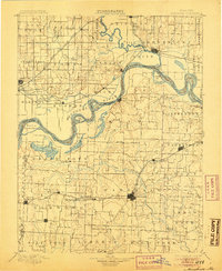
1890 · Marshall
USGS Topo · 1:125,000

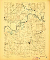
1892 · Marshall
USGS Topo · 1:125,000

1894 · Sedalia
USGS Topo · 1:125,000

1894 · Warrensburg
USGS Topo · 1:125,000