Old Maps of Carrollton, Missouri
Explore 29 old maps of Carrollton, spanning from 1889 to today. These high-resolution historic maps reveal how streets, neighborhoods, landmarks, and natural features evolved over time — perfect for genealogy, metal detecting, research, and local history exploration.
What you can do with these maps:
- See how Carrollton changed over time: Compare historical maps to modern-day views to trace roads, homesites, rail lines & more.
- View detailed metadata: Each map includes creators, publishers, year, scale, and archive source.
- Overlay maps with satellite & LiDAR: Visualize the past alongside modern tools to explore terrain & human change.
- Trusted historical sources: Maps sourced from the USGS, Library of Congress, and other archives.
- Access maps your way: View online, download high-res files, or order prints for personal or research use.
Start exploring old maps of Carrollton to uncover forgotten places, hidden landmarks, and the deep history beneath your feet.
Carrollton, MO maps
(29)- 1889 Map of Lexington
 1889 Lexington1889 Print · USGSLafayette and Ray Counties are captured here during the late nineteenth-century rail boom. Researchers can trace the development of river towns and rail junctions like Lexington, Lexington Junction, and the riverside landing at Miles Point.6 unique versions available
 - 1890 Map of Marshall
 1890 Marshall1890 Print · USGSSaline and Carroll counties come alive in this late nineteenth-century survey, showing the Missouri River bottomlands before modern channelization. Genealogists and historians can trace defunct river landings and rail stops like Eugene City, Laynesville, and Miami Station.
 - 1892 Map of Marshall, 1896 Print
 1892 Marshall1896 Print · USGSNorth-central Missouri in the 1890s is defined by its vibrant river commerce and expanding rail networks. Genealogists and historians can trace family roots through old settlements like Malta Bend, Laynesville, and Salt Springs along the Missouri River.
 - 1901 Map of Marshall
 1901 Marshall1901 Print · USGSCentral Missouri thrives along the river and rail lines at the turn of the century. Trace the early footprints of Marshall and Slater, or locate long-standing river landings and rural stations like Miami Station, Malta Bend, and Laynesville.5 unique versions available
 - 1951 Map of Carrollton East, 1952 Print
 1951 Carrollton East1952 Print · USGSCarroll County at mid-century reveals a landscape defined by the winding Missouri River and a dense network of country schools. Researchers can trace the dual rail lines of the Wabash and Atchison Topeka and Santa Fe near Wakenda and Dietrich Sch.4 unique versions available
 - 1951 Map of Standish, 1952 Print
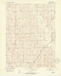 1951 Standish1952 Print · USGSCarroll County was undergoing significant rural changes during the early fifties as old schoolhouses closed and the railroad remained a vital corridor. Genealogists can locate family landmarks like Van Horn Ch, St Marys Cem, and several former school sites such as North Baker Sch.3 unique versions available
 - 1953 Map of Moberly
 1953 Moberly1953 Print · USGSMid-century north-central Missouri is documented here as a bustling intersection of river commerce and heavy rail. Researchers can trace historic family-named landmarks and transport hubs from the Missouri River corridor to the rail yards of Moberly, Chillicothe, and Macon.
 - 1954 Map of Moberly, 1969 Print
 1954 Moberly1969 Print · USGSMid-century Missouri is captured here during a period of transition for its river towns and rail hubs. Genealogists and historians can trace the paths of the Wabash railroad through Moberly or explore the riverside layout of Lexington and Brunswick.3 unique versions available
 - 1956 Map of Carrollton West, 1957 Print
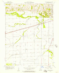 1956 Carrollton West1957 Print · USGSCarroll County in the mid-fifties is seen here as a bustling corridor of rail and agriculture just west of the county seat. Genealogists can locate rural landmarks like Fletcher Sch, Austin Cem, and the small settlement of Sugartree along the sloughs.2 unique versions available
 - 1957 Map of Moberly
 1957 Moberly1957 Print · USGSNorth-central Missouri in the late nineteen-forties and fifties remains a landscape defined by its great rivers and a dense network of steam and diesel rail lines. Genealogists and historians can trace the paths of the Wabash RR and Santa Fe RR through historic junctions like Moberly, Brookfield, and Macon.
 - 1957 Map of Bogard, 1958 Print
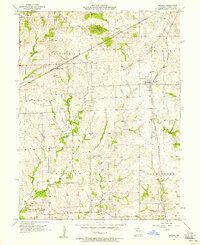 1957 Bogard1958 Print · USGSCarroll County farm country is centered here in the late fifties as the local rail economy begins to shift. Researchers can locate family landmarks like Ebenezer Cem, the village of Mandoville, and the railroad stop at Aalberg Siding.2 unique versions available
 - 1960 Map of Moberly
 1960 Moberly1960 Print · USGSCentral Missouri comes alive in the mid-twentieth century as a bustling network of river towns and significant rail corridors. Genealogists and historians can trace the paths of the Wabash RR through Moberly or explore the riverfronts of Lexington and Brunswick.
 - 1982 Map of Marshall
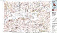 1982 Marshall1982 Print · USGSMid-Missouri river life and rail history meet in this early 1980s landscape, centered on the Missouri's winding course. Researchers can trace the historic Santa Fe Trail and explore sites like the Confederate Memorial State Park and Carrollton Mem Cemetery.
 - 2012 Map of Standish, 2012 Print
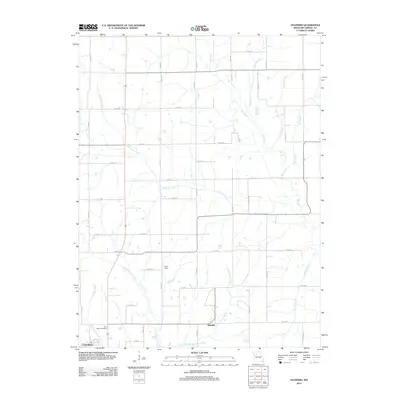 2012 Standish2012 Print · USGSStandish and northern Carrollton are captured here in the early twenty-first century, showing the rural road networks and creek systems of Carroll County. Genealogists and historians can locate Saint Marys Cemetery, Pence Dam, and the waters of Shootman Creek.
 - 2012 Map of Carrollton East, 2012 Print
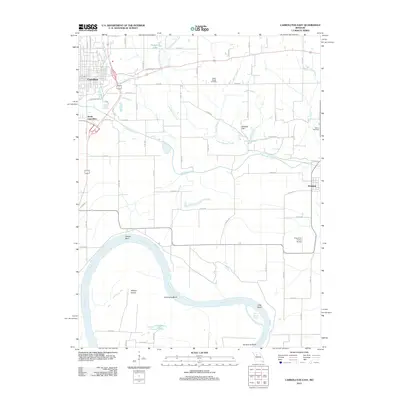 2012 Carrollton East2012 Print · USGSThe Missouri River bottomlands south of Carrollton were an established agricultural landscape by the early twenty-first century. Researchers can trace land use patterns and family history at Willis Chapel Cemetery or the rural airstrip at Famuliner Farms Airport.
 - 2012 Map of Carrollton West, 2012 Print
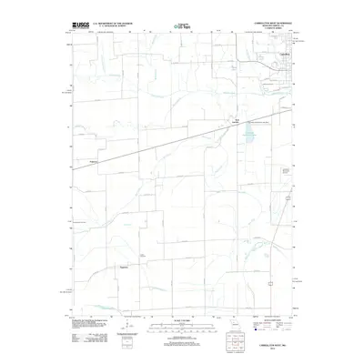 2012 Carrollton West2012 Print · USGSCarrollton and its surrounding Missouri bottomlands are captured here in the early twenty-first century, showing a landscape shaped by river drainage and rail history. Researchers can trace local lineages through Oak Hill and Austin Cemetery, or locate the settlements of Palemon and Sugartree.
 - 2012 Map of Bogard, 2012 Print
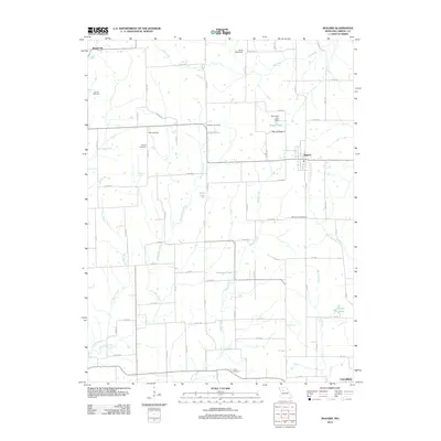 2012 Bogard2012 Print · USGSThe village of Bogard and the surrounding Carroll County countryside are shown here in the early twenty-first century. Researchers can trace rural lineages through several local burial grounds like Smith Cemetery and Mount Zion Cemetery or locate the site of Aalberg Siding.
 - 2015 Map of Bogard, 2015 Print
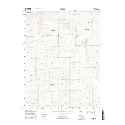 2015 Bogard2015 Print · USGSNorth of the Missouri River during the mid-2010s, this Carroll County landscape reveals a deep network of rural settlements and waterways. Genealogists can locate family burial sites at Streets Cemetery or Trotter Cemetery while tracing the winding banks of McGill Cr and Plum Br.
 - 2015 Map of Carrollton East, 2015 Print
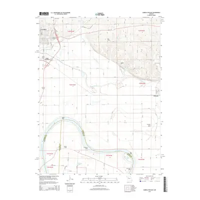 2015 Carrollton East2015 Print · USGSCarroll County and the Missouri River bottomlands are captured here in the mid-2010s, showcasing the agricultural landscape east of Carrollton. Local historians can trace family ties at Willis Chapel Cemetery and Adkins Cemetery or locate the Famuliner Farms Airport.
 - 2015 Map of Standish, 2015 Print
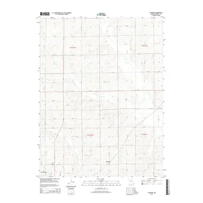 2015 Standish2015 Print · USGSNorth of Carrollton, Missouri, this mid-2010s survey reveals a landscape of enduring family farms and rural crossroads. Researchers can trace the drainage of Shootman Cr or locate specific burials at Saint Marys Cemetery and the settlement of Standish.
 - 2015 Map of Carrollton West, 2015 Print
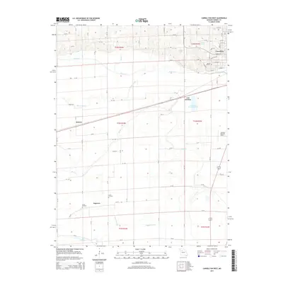 2015 Carrollton West2015 Print · USGSThe Missouri River bottomlands meet the rolling hills of Carroll County in this 2015 study of the region's agricultural and industrial layout. Genealogists can locate several rural burial grounds, including Oak Hill Cemetery and Gilead Cemetery, or trace the rail lines through W B Junction.
 - 2017 Map of Carrollton West, 2017 Print
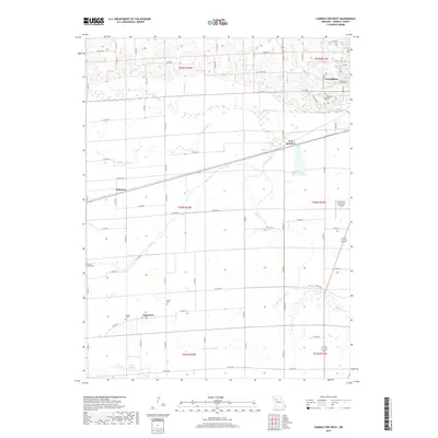 2017 Carrollton West2017 Print · USGSMissouri's Carroll County landscape is captured here in the late twenty-tens, showing the rural transition from the streets of Carrollton to the surrounding bottomlands. Researchers can locate family sites at Oak Hill Cem or trace the drainage patterns of Booker Slough and Sugartree Ditch.
 - 2017 Map of Carrollton East, 2017 Print
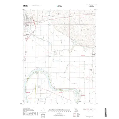 2017 Carrollton East2017 Print · USGSThe Missouri River bottoms south of Carrollton come into focus in the mid-2010s, showcasing a landscape shaped by water and agriculture. Researchers can trace family history at Willis Chapel Cem or locate old community hubs like South Carrollton and Wakenda.
 - 2017 Map of Bogard, 2017 Print
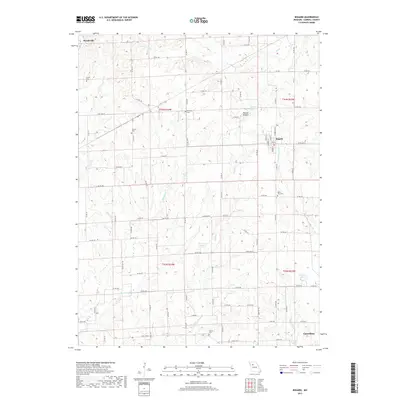 2017 Bogard2017 Print · USGSCarroll County settlements and rural townships are captured here in the late twenty-teens, showing the agricultural character of the region. Local researchers can trace family landmarks and cemeteries like Ebenezer Cem, Mount Zion Cem, and the streets of Bogard.
 - 2017 Map of Standish, 2017 Print
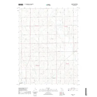 2017 Standish2017 Print · USGSCarroll County comes into focus in the late 2010s, showing the rural landscape between Standish and the outskirts of Carrollton. Researchers can trace local landmarks like Saint Marys Cem or follow the paths of Shootman Cr and Big Cr.
Showing maps 1-25 of 29
Top cities near Carrollton
- Waverly historical maps
- Norborne historical maps
- Wakenda historical maps
- Bosworth historical maps
- Malta Bend historical maps
- Bogard historical maps
See more
Top neighborhoods of Carrollton
Frequently asked questions
- What are the different types of historical maps available for Carrollton?
- What is the oldest map of Carrollton?
- Where can I purchase historical maps of Carrollton for my home or office?
- Where can I download high-res historical maps of Carrollton?
- Are there historical topographic maps available for Carrollton?
- Is there historical aerial imagery available for Carrollton?
- Where are historical maps of Carrollton sourced from?