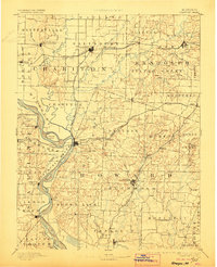
1890 Map of Glasgow
USGS Topo · Published 1906About this map
The Missouri River defines the southwestern boundary of this late nineteenth-century interior Missouri landscape, where the Chariton River and its multiple forks create a complex drainage network across the northern plains. This area is a significant rail hub, anchored by the Wabash Railroad running east-west through Salisbury and the Chicago and Alton Railroad which crosses the Missouri at Glasgow. These iron arteries supported a network of trading centers like Fayette and Huntsville.
Find a feature on this map
98 named features on this map. Tap any name to fly to it.
Don’t see what you’re looking for? This feature index may not catch every label — zoom into the map to look around manually.
Map Details
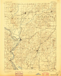
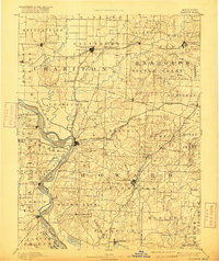
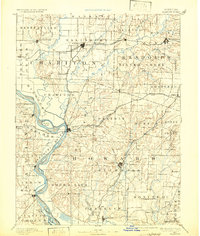
Editions of this 1890 Glasgow Map
5 editions found
Other maps of this area

1886 · Jefferson City
USGS Topo · 1:125,000

1887 · Sedalia
USGS Topo · 1:125,000

1888 · Boonville
USGS Topo · 1:125,000

1890 · Moberly
USGS Topo · 1:125,000

1890 · Glasgow
USGS Topo · 1:125,000

1890 · Marshall
USGS Topo · 1:125,000

1892 · Marshall
USGS Topo · 1:125,000

1894 · Sedalia
USGS Topo · 1:125,000

1894 · Jefferson City
USGS Topo · 1:125,000

1901 · Marshall
USGS Topo · 1:125,000