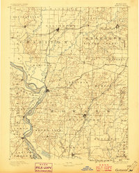
1890 Map of Glasgow
USGS Topo · Published 1896About this map
The Missouri River defines the western edge of this 1890s landscape, winding past the river towns of Glasgow and Arrow Rock. This area serves as a critical junction for late-nineteenth-century transportation, where the river's commerce met the expanding reach of the Chicago and Alton Railroad and the Wabash Railroad. The map reveals a high density of small rural communities and local landmarks that speak to the agricultural economy of the era, such as Jackman Mills and Whites Store in the south, and the county seats of Fayette and Huntsville.
Find a feature on this map
88 named features on this map. Tap any name to fly to it.
Don’t see what you’re looking for? This feature index may not catch every label — zoom into the map to look around manually.
Map Details
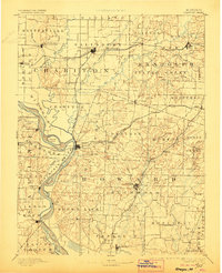
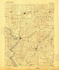
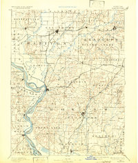
Editions of this 1890 Glasgow Map
5 editions found
Other maps of this area

1886 · Jefferson City
USGS Topo · 1:125,000

1887 · Sedalia
USGS Topo · 1:125,000

1888 · Boonville
USGS Topo · 1:125,000

1890 · Moberly
USGS Topo · 1:125,000

1890 · Glasgow
USGS Topo · 1:125,000

1890 · Marshall
USGS Topo · 1:125,000

1892 · Marshall
USGS Topo · 1:125,000

1894 · Sedalia
USGS Topo · 1:125,000

1894 · Jefferson City
USGS Topo · 1:125,000

1901 · Marshall
USGS Topo · 1:125,000