Old Maps of Hallsville, Missouri
Explore 17 old maps of Hallsville, spanning from 1890 to today. These high-resolution historic maps reveal how streets, neighborhoods, landmarks, and natural features evolved over time — perfect for genealogy, metal detecting, research, and local history exploration.
What you can do with these maps:
- See how Hallsville changed over time: Compare historical maps to modern-day views to trace roads, homesites, rail lines & more.
- View detailed metadata: Each map includes creators, publishers, year, scale, and archive source.
- Overlay maps with satellite & LiDAR: Visualize the past alongside modern tools to explore terrain & human change.
- Trusted historical sources: Maps sourced from the USGS, Library of Congress, and other archives.
- Access maps your way: View online, download high-res files, or order prints for personal or research use.
Start exploring old maps of Hallsville to uncover forgotten places, hidden landmarks, and the deep history beneath your feet.
Hallsville, MO maps
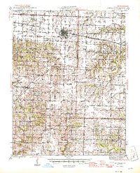
(17)- 1890 Map of Moberly
 1890 Moberly1890 Print · USGSMid-Missouri at the close of the frontier era was a landscape defined by the iron rails of the Wabash and Chicago & Alton lines. Genealogists can trace early homesteads and rail stops from Moberly to Centralia, and find rural communities like Middle Grove or Dripping Spring.6 unique versions available
 - 1945 Map of Centralia
 1945 Centralia1945 Print · USGSNorth Central Missouri is shown just after the war, featuring a landscape defined by its rail junctions and numerous rural school districts. Genealogists can trace family heritage through dozens of named sites like Skull Lick Cem, Hallsville, and Angell Sch.2 unique versions available
 - 1953 Map of Moberly
 1953 Moberly1953 Print · USGSMid-century north-central Missouri is documented here as a bustling intersection of river commerce and heavy rail. Researchers can trace historic family-named landmarks and transport hubs from the Missouri River corridor to the rail yards of Moberly, Chillicothe, and Macon.
 - 1954 Map of Moberly, 1969 Print
 1954 Moberly1969 Print · USGSMid-century Missouri is captured here during a period of transition for its river towns and rail hubs. Genealogists and historians can trace the paths of the Wabash railroad through Moberly or explore the riverside layout of Lexington and Brunswick.3 unique versions available
 - 1957 Map of Moberly
 1957 Moberly1957 Print · USGSNorth-central Missouri in the late nineteen-forties and fifties remains a landscape defined by its great rivers and a dense network of steam and diesel rail lines. Genealogists and historians can trace the paths of the Wabash RR and Santa Fe RR through historic junctions like Moberly, Brookfield, and Macon.
 - 1960 Map of Moberly
 1960 Moberly1960 Print · USGSCentral Missouri comes alive in the mid-twentieth century as a bustling network of river towns and significant rail corridors. Genealogists and historians can trace the paths of the Wabash RR through Moberly or explore the riverfronts of Lexington and Brunswick.
 - 1969 Map of Centralia, 1971 Print
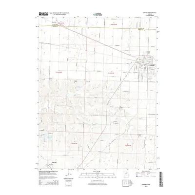
 1969 Centralia1971 Print · USGSThe mid-Missouri rail hub of Centralia is captured here at the close of the 1960s as it straddles the Audrain and Boone county line. Researchers can trace the town's growth along the Norfolk and Western tracks or locate landmarks like Sunnydale Academy and Fax West Cem.3 unique versions available
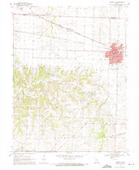
 - 1969 Map of Hallsville, 1971 Print
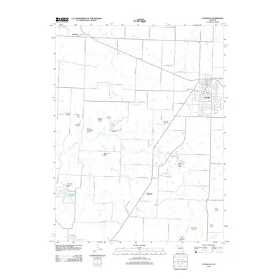
 1969 Hallsville1971 Print · USGSNorthern Boone County's rural landscape is captured here in the late sixties, centered on the railroad town of Hallsville. Genealogists and historians can locate family landmarks like Stephens Cem, Mt Hope Ch, and the Twomile Prairie Sch.2 unique versions available
 - 1985 Map of Moberly
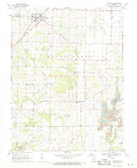
 1985 Moberly1985 Print · USGSCentral Missouri in the mid-eighties shows a landscape of rail-connected towns and active resource extraction across Randolph and Howard Counties. Genealogists and historians can locate family landmarks like Sunset Hill Cem or trace the Norfolk and Western RR through Moberly and Salisbury.2 unique versions available
 - 2012 Map of Centralia, 2012 Print
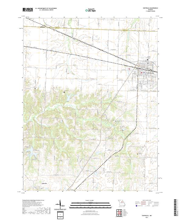
 2012 Centralia2012 Print · USGSCovers Hallsville, including Centralia, Larrabee, and other nearby areas
 - 2012 Map of Hallsville, 2012 Print
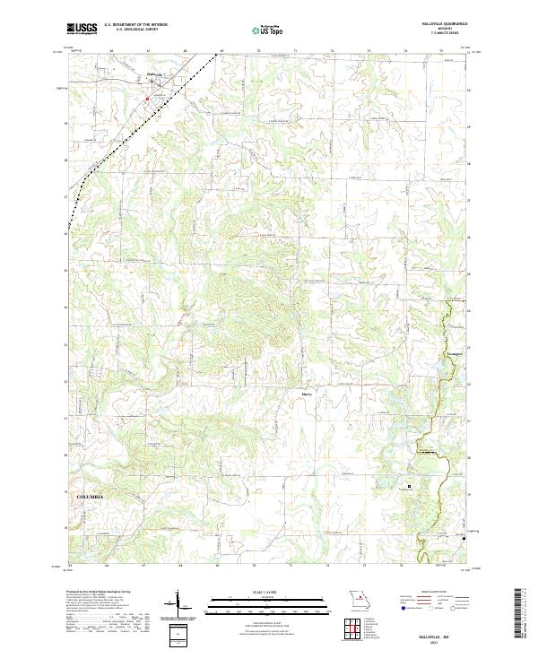
 2012 Hallsville2012 Print · USGSCovers Hallsville, including Columbia, Murry, and other nearby areas
 - 2014 Map of Hallsville, 2014 Print
 2014 Hallsville2014 Print · USGSCovers Hallsville, including Columbia, Murry, and other nearby areas
 - 2014 Map of Centralia, 2014 Print
 2014 Centralia2014 Print · USGSCovers Hallsville, including Centralia, Larrabee, and other nearby areas
 - 2017 Map of Centralia, 2017 Print
 2017 Centralia2017 Print · USGSCovers Hallsville, including Centralia, Larrabee, and other nearby areas
 - 2017 Map of Hallsville, 2017 Print
 2017 Hallsville2017 Print · USGSCovers Hallsville, including Columbia, Murry, and other nearby areas
 - 2021 Map of Hallsville, 2021 Print
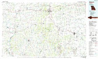
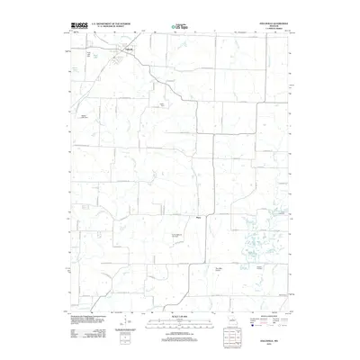
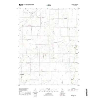
 2021 Hallsville2021 Print · USGSThis central Missouri landscape near the Boone and Callaway county line showcases rural community life and the northern reaches of COLUMBIA. Researchers can trace old family roots and rural networks through landmarks like Stephens Cem, E JUDY SCHOOL RD, and the settlement of Youngers.
 - 2021 Map of Centralia, 2021 Print
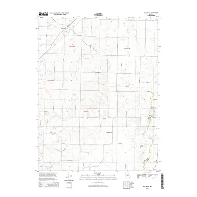
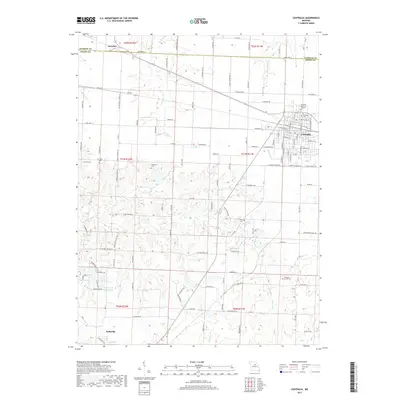
 2021 Centralia2021 Print · USGSThe northern Missouri borderlands between Boone and Audrain counties appear here in their modern agricultural and residential configuration. Genealogists and local historians can trace family plots at Centralia Cem or find smaller sites like Fountain Cem and Union Cem.
End of results
Showing maps 1-17 of 17
Top cities near Hallsville
- Columbia historical maps
- Centralia historical maps
- Sturgeon historical maps
- Clark historical maps
- Renick historical maps
- Harrisburg historical maps
Frequently asked questions
- What are the different types of historical maps available for Hallsville?
- What is the oldest map of Hallsville?
- Where can I purchase historical maps of Hallsville for my home or office?
- Where can I download high-res historical maps of Hallsville?
- Are there historical topographic maps available for Hallsville?
- Is there historical aerial imagery available for Hallsville?
- Where are historical maps of Hallsville sourced from?