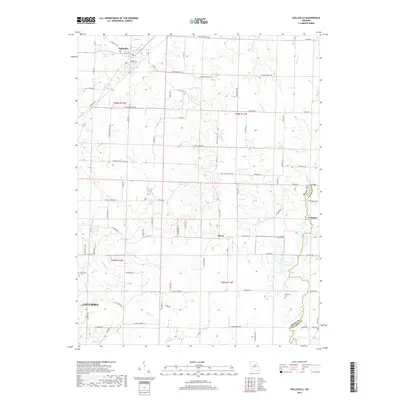
2017 Map of Hallsville
USGS Topo · Published 2017About this map
Hallsville serves as a northern anchor for this area of Missouri, where the headwaters of numerous creeks begin their descent through the rolling landscape. The map highlights a network of rural routes and historic homestead landmarks, including the small settlements of Murry and Youngers. The eastern edge is defined by the Boone Co Callaway Co boundary, which follows the winding path of Cedar Creek and Youngs Creek. Geologic and genealogical interests are well-represented by features like the Cherokee Ridge and local burial grounds such as Stephens Cemetery. In the southwest corner, the growing reach of Columbia is evident, with roads like E Gay Nonlin Rd and E Palmer Rd extending toward the drainage basins of Nelson Creek and Hominy Br. The map's layout of rural school roads and church lanes reflects the persistent agrarian structure of the county.
Find a feature on this map
93 named features on this map. Tap any name to fly to it.
Don’t see what you’re looking for? This feature index may not catch every label — zoom into the map to look around manually.
Map Details
Editions of this 2017 Hallsville Map
This is the sole edition of this map. No revisions or reprints were ever made.
Other maps of this area

1886 · Jefferson City
USGS Topo · 1:125,000

1890 · Moberly
USGS Topo · 1:125,000

1894 · Jefferson City
USGS Topo · 1:125,000

1917 · Sturgeon
USGS Topo · 1:62,500

1935 · Columbia
USGS Topo · 1:24,000

1940 · Columbia
USGS Topo · 1:24,000

1944 · Millersburg
USGS Topo · 1:62,500

1945 · Centralia
USGS Topo · 1:62,500

1946 · Millersburg
USGS Topo · 1:62,500

1947 · Jefferson City
USGS Topo · 1:250,000