Old Maps of Paris, Missouri
Explore 21 old maps of Paris, spanning from 1890 to today. These high-resolution historic maps reveal how streets, neighborhoods, landmarks, and natural features evolved over time — perfect for genealogy, metal detecting, research, and local history exploration.
What you can do with these maps:
- See how Paris changed over time: Compare historical maps to modern-day views to trace roads, homesites, rail lines & more.
- View detailed metadata: Each map includes creators, publishers, year, scale, and archive source.
- Overlay maps with satellite & LiDAR: Visualize the past alongside modern tools to explore terrain & human change.
- Trusted historical sources: Maps sourced from the USGS, Library of Congress, and other archives.
- Access maps your way: View online, download high-res files, or order prints for personal or research use.
Start exploring old maps of Paris to uncover forgotten places, hidden landmarks, and the deep history beneath your feet.
Paris, MO maps
(21)- 1890 Map of Mexico
 1890 Mexico1890 Print · USGSMid-Missouri was a bustling junction of rail and river in the late 1880s, where iron rails began to reshape the old prairie. Genealogists can trace family roots in early settlements like Mexico, Laddonia, and the rural community at Shamrock P.O..5 unique versions available
 - 1890 Map of Moberly
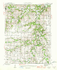
 1890 Moberly1890 Print · USGSMid-Missouri at the close of the frontier era was a landscape defined by the iron rails of the Wabash and Chicago & Alton lines. Genealogists can trace early homesteads and rail stops from Moberly to Centralia, and find rural communities like Middle Grove or Dripping Spring.6 unique versions available
 - 1945 Map of Florida
 1945 Florida1945 Print · USGSThe Salt River forks in Monroe and Audrain counties defined local life in the 1940s before modern reservoirs changed the landscape. Genealogists can trace family footprints through dozens of rural landmarks like Walnut Grove Cem, Cedar Grove Ch, and Dye Sch.3 unique versions available
 - 1948 Map of Quincy
 1948 Quincy1948 Print · USGSThe Mississippi and Illinois River valleys are captured at a post-war crossroads as rail and river travel met the expanding highway system. Genealogists can trace family settlements from Quincy to Hannibal and smaller towns like Vandalia and Jerseyville.2 unique versions available
 - 1953 Map of Moberly
 1953 Moberly1953 Print · USGSMid-century north-central Missouri is documented here as a bustling intersection of river commerce and heavy rail. Researchers can trace historic family-named landmarks and transport hubs from the Missouri River corridor to the rail yards of Moberly, Chillicothe, and Macon.
 - 1954 Map of Moberly, 1969 Print
 1954 Moberly1969 Print · USGSMid-century Missouri is captured here during a period of transition for its river towns and rail hubs. Genealogists and historians can trace the paths of the Wabash railroad through Moberly or explore the riverside layout of Lexington and Brunswick.3 unique versions available
 - 1956 Map of Quincy, 1967 Print
 1956 Quincy1967 Print · USGSThe river and rail corridors of the Illinois-Missouri border are documented here during the mid-1950s. Researchers can trace historic river landings and regional transit hubs from Quincy and Hannibal to smaller settlements like Meredosia and Roodhouse.3 unique versions available
 - 1957 Map of Moberly
 1957 Moberly1957 Print · USGSNorth-central Missouri in the late nineteen-forties and fifties remains a landscape defined by its great rivers and a dense network of steam and diesel rail lines. Genealogists and historians can trace the paths of the Wabash RR and Santa Fe RR through historic junctions like Moberly, Brookfield, and Macon.
 - 1960 Map of Moberly
 1960 Moberly1960 Print · USGSCentral Missouri comes alive in the mid-twentieth century as a bustling network of river towns and significant rail corridors. Genealogists and historians can trace the paths of the Wabash RR through Moberly or explore the riverfronts of Lexington and Brunswick.
 - 1960 Map of Paris West, 1961 Print
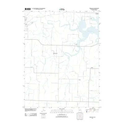
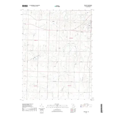
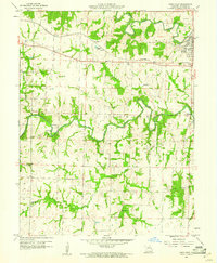 1960 Paris West1961 Print · USGSMonroe County was a network of river forks and rail lines in the early sixties, centered around the community of Paris. Researchers can trace local heritage through numerous family landmarks like McKinney Cem, the Sanford Sch, and the old Wabash railroad corridor.4 unique versions available
 - 1972 Map of Paris East, 1974 Print
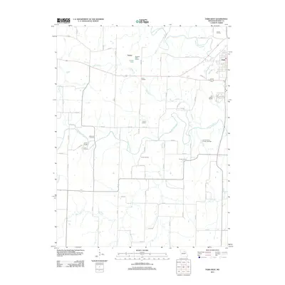
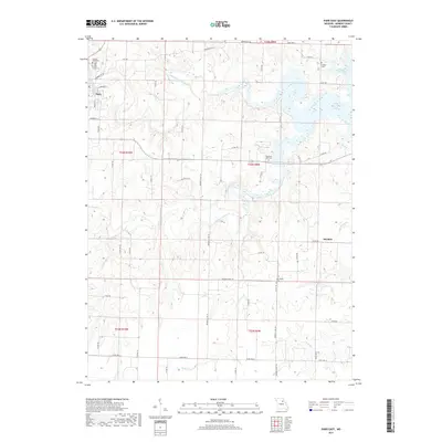
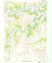 1972 Paris East1974 Print · USGSMonroe County in the early seventies shows the river valleys before the full expansion of the reservoir. Researchers can locate family landmarks like Walnut Grove Cem, trace the Norfolk and Western rail line, or find the small settlement of Strother.
 - 1985 Map of Moberly
 1985 Moberly1985 Print · USGSCentral Missouri in the mid-eighties shows a landscape of rail-connected towns and active resource extraction across Randolph and Howard Counties. Genealogists and historians can locate family landmarks like Sunset Hill Cem or trace the Norfolk and Western RR through Moberly and Salisbury.2 unique versions available
 - 1986 Map of Mexico
 1986 Mexico1986 Print · USGSEast Central Missouri in the mid-eighties shows a landscape of steady agricultural towns and the expansive waters of Mark Twain Lake. Genealogists and historians can trace rail-side communities like Laddonia and Wellsville or locate family markers at Elwood Cem.2 unique versions available
 - 2012 Map of Paris East, 2012 Print
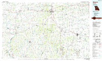
 2012 Paris East2012 Print · USGSCovers Paris, including Strother, Monroe County, and other nearby areas
 - 2012 Map of Paris West, 2012 Print
 2012 Paris West2012 Print · USGSCovers Paris, including Fowkes, Monroe County, and other nearby areas
 - 2014 Map of Paris West, 2014 Print
 2014 Paris West2014 Print · USGSCovers Paris, including Fowkes, Monroe County, and other nearby areas
 - 2015 Map of Paris East, 2015 Print
 2015 Paris East2015 Print · USGSCovers Paris, including Strother, Monroe County, and other nearby areas
 - 2017 Map of Paris West, 2017 Print
 2017 Paris West2017 Print · USGSCovers Paris, including Fowkes, Monroe County, and other nearby areas
 - 2017 Map of Paris East, 2017 Print
 2017 Paris East2017 Print · USGSCovers Paris, including Strother, Monroe County, and other nearby areas
 - 2021 Map of Paris West, 2021 Print
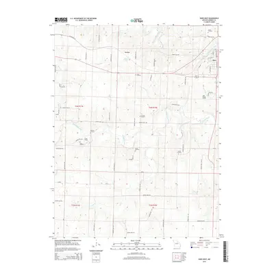
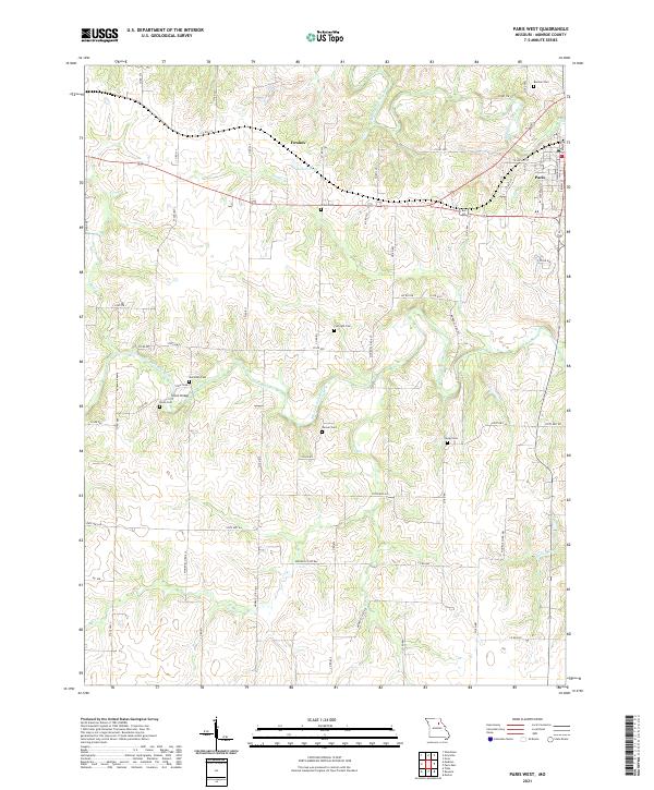 2021 Paris West2021 Print · USGSMonroe County, Missouri, is captured here in the early twenty-first century as a landscape of river forks and rural settlements. Genealogists can trace family heritage through numerous burial sites including Curtright Cem and Youngs Cem near Union Bridge.
 - 2021 Map of Paris East, 2021 Print
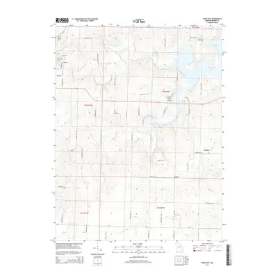
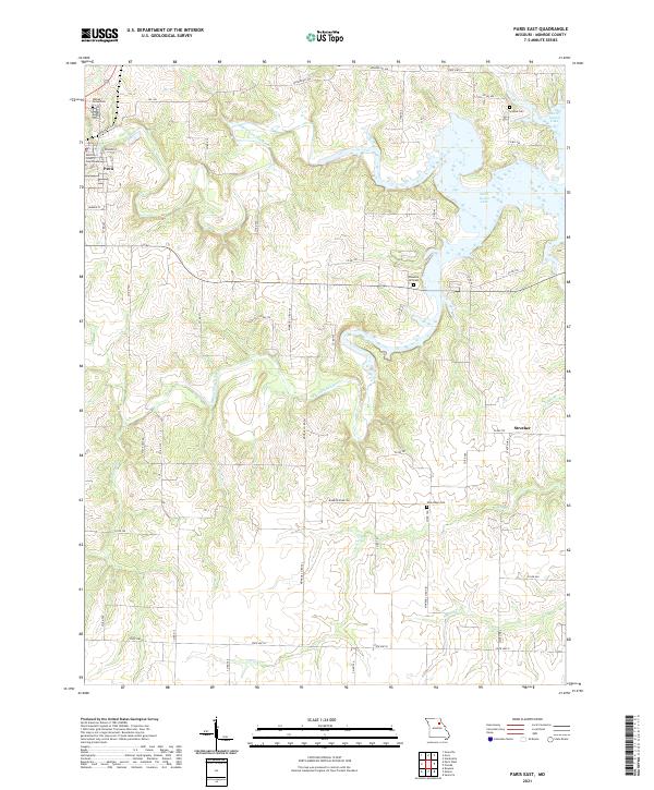 2021 Paris East2021 Print · USGSMonroe County's river valleys meet the expanse of the reservoir in this 2021 study of the Missouri countryside. Researchers can locate the Monroe County Courthouse in Paris and trace rural family history through sites like Scobee Cem and Pleasant Hill Cem.
End of results
Showing maps 1-21 of 21
Top cities near Paris
- Shelbina historical maps
- Madison historical maps
- Hunnewell historical maps
- Holliday historical maps
- Stoutsville historical maps
- Goss historical maps
See more
Frequently asked questions
- What are the different types of historical maps available for Paris?
- What is the oldest map of Paris?
- Where can I purchase historical maps of Paris for my home or office?
- Where can I download high-res historical maps of Paris?
- Are there historical topographic maps available for Paris?
- Is there historical aerial imagery available for Paris?
- Where are historical maps of Paris sourced from?