2000s (21st Century) Maps of Paris, Missouri
Explore 8 historic maps of Paris from the 2000s (21st Century). These maps offer a rare glimpse into what life looked like during the 2000s — showing old roads, neighborhoods, homes, and landmarks that have changed or disappeared over time.
Whether you're researching your family's past, planning a metal detecting trip, or studying how Paris's landscape evolved across the 2000s, these high-resolution maps are a powerful tool for exploring the history of this region.
- Focus on a specific era: All maps on this page are from the 2000s, giving you a focused view of this time period.
- See what’s changed: Compare century-old streets, trails, and buildings to today's modern landscape using overlays and satellite layers.
- Research with precision: Use these maps for genealogy, historical research, land use analysis, or educational projects.
- View, download, or print: Maps are fully viewable online in high resolution, and can be downloaded or printed for your own records.
Start exploring Paris's history through authentic maps from the 2000s. This is your window into the past.
Paris, MO maps
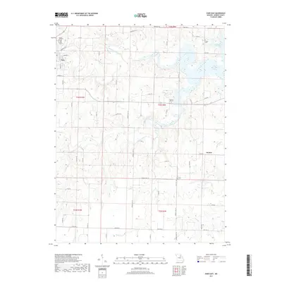
(8)- 2012 Map of Paris East, 2012 Print
 2012 Paris East2012 Print · USGSCovers Paris, including Strother, Monroe County, and other nearby areas
 - 2012 Map of Paris West, 2012 Print
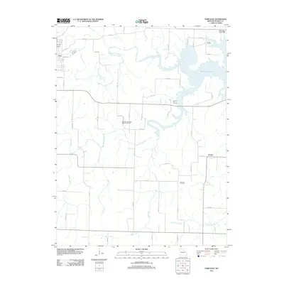
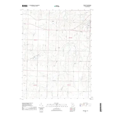
 2012 Paris West2012 Print · USGSCovers Paris, including Fowkes, Monroe County, and other nearby areas
 - 2014 Map of Paris West, 2014 Print
 2014 Paris West2014 Print · USGSCovers Paris, including Fowkes, Monroe County, and other nearby areas
 - 2015 Map of Paris East, 2015 Print
 2015 Paris East2015 Print · USGSCovers Paris, including Strother, Monroe County, and other nearby areas
 - 2017 Map of Paris West, 2017 Print
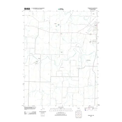
 2017 Paris West2017 Print · USGSCovers Paris, including Fowkes, Monroe County, and other nearby areas
 - 2017 Map of Paris East, 2017 Print
 2017 Paris East2017 Print · USGSCovers Paris, including Strother, Monroe County, and other nearby areas
 - 2021 Map of Paris West, 2021 Print
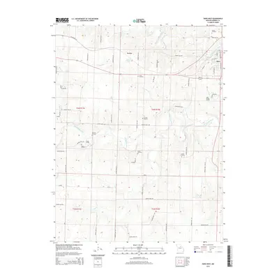
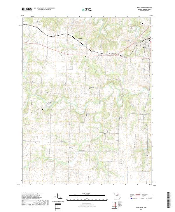 2021 Paris West2021 Print · USGSMonroe County, Missouri, is captured here in the early twenty-first century as a landscape of river forks and rural settlements. Genealogists can trace family heritage through numerous burial sites including Curtright Cem and Youngs Cem near Union Bridge.
 - 2021 Map of Paris East, 2021 Print
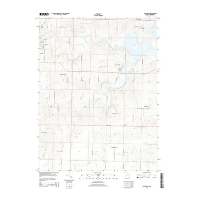
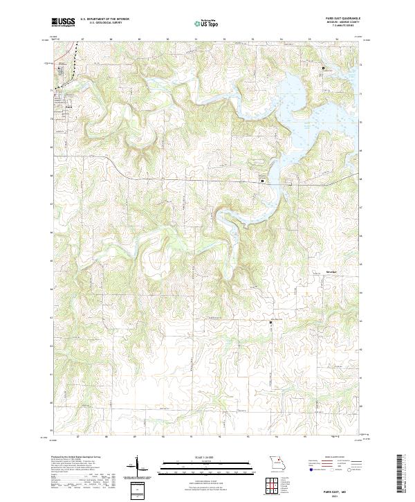 2021 Paris East2021 Print · USGSMonroe County's river valleys meet the expanse of the reservoir in this 2021 study of the Missouri countryside. Researchers can locate the Monroe County Courthouse in Paris and trace rural family history through sites like Scobee Cem and Pleasant Hill Cem.
End of results
Showing maps 1-8 of 8
Top cities near Paris
- Shelbina historical maps
- Madison historical maps
- Hunnewell historical maps
- Holliday historical maps
- Stoutsville historical maps
- Goss historical maps
See more
Frequently asked questions
- What are the different types of historical maps available for Paris?
- What is the oldest map of Paris?
- Where can I purchase historical maps of Paris for my home or office?
- Where can I download high-res historical maps of Paris?
- Are there historical topographic maps available for Paris?
- Is there historical aerial imagery available for Paris?
- Where are historical maps of Paris sourced from?