Loading...
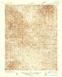
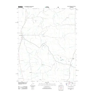
Loading map...1937 Map of Edgar Springs
USGS Topo · Published 1937About this map
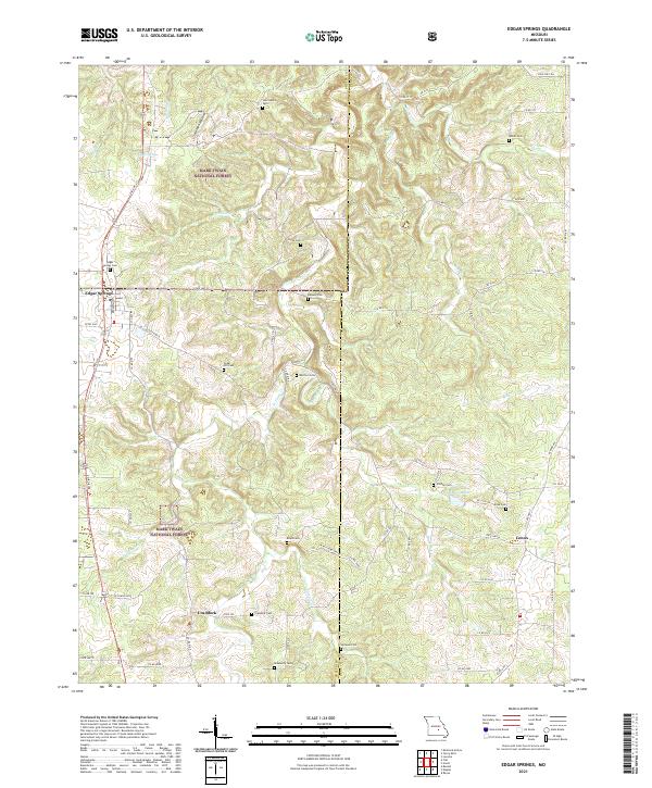
Edgar Springs serves as a central hub in this mid-1930s survey, where the rugged topography of the Ozark Plateau is defined by deep hollows and high ridges. The landscape reveals a transition toward organized conservation and infrastructure, notably marked by the Blooming Rose CCC Camp No 1732 and the U S Forest Service Nursery. These features signal the era's federal investment in land management following decades of heavy timbering.
Find a feature on this map
61 named features on this map. Tap any name to fly to it.
Don’t see what you’re looking for? This feature index may not catch every label — zoom into the map to look around manually.
Map Details
Date Portrayed1937
Date Published1937
PublisherU.S. Geological Survey
Map TypeTopographic
Scale1:48,000
Physical Dimensions21.5 x 26.8 inches
Editions of this 1937 Edgar Springs Map
This is the sole edition of this map. No revisions or reprints were ever made.
Historical Maps of Sherrill Through Time
8 maps found
Featured Locations
Source Details
SourceU.S. Geological Survey
CopyrightPublic Domain