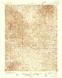
1912 Map of Rolla
USGS Topo · Published 1946About this map
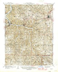
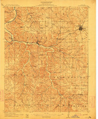
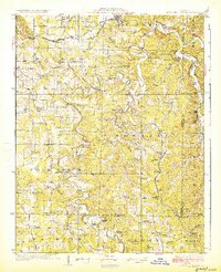
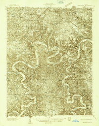
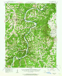
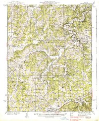
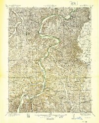
Rolla and the winding course of the Gasconade River anchor this 1944 revision of a century-opening survey. The San Francisco railroad line follows the contours of the valley through Newburg, providing a clear look at the transportation corridor that helped build these Ozark communities. The map is exceptionally dense with rural education and social landmarks, including the Western Star School, Ozark School, and Point Bluff School, alongside the Philadelphia Church and Cold Spring Chapel.
Find a feature on this map
79 named features on this map. Tap any name to fly to it.
Don’t see what you’re looking for? This feature index may not catch every label — zoom into the map to look around manually.
Map Details
Editions of this 1912 Rolla Map
2 editions found
Other maps of this area

1888 · Tuscumbia
USGS Topo · 1:125,000

1894 · Tuscumbia
USGS Topo · 1:125,000
1912 · Rolla
USGS Topo · 1:62,500
1928 · Meramec Spring
USGS Topo · 1:62,500

1934 · Redbird
USGS Topo · 1:62,500
1936 · Waynesville
USGS Topo · 1:48,000
1937 · Edgar Springs
USGS Topo · 1:48,000
1937 · Vienna
USGS Topo · 1:62,500
1938 · Redbird
USGS Topo · 1:62,500
1938 · Vienna
USGS Topo · 1:48,000