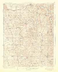
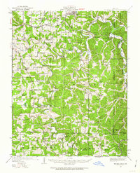
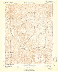
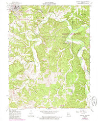
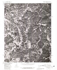
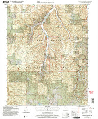
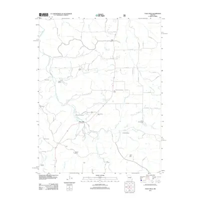
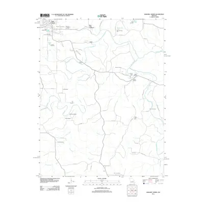
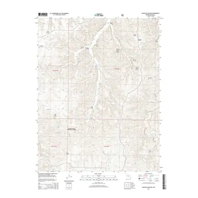
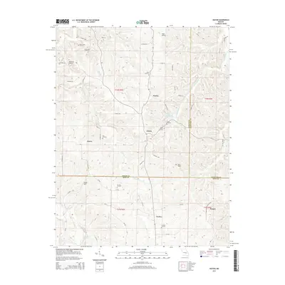
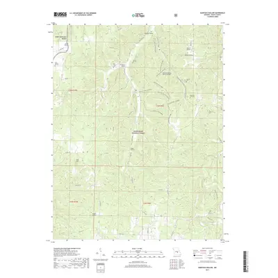
1928 Map of Meramec Spring
USGS Topo · Published 1928About this map
Meramec Spring and its surrounding river valley anchor this mid-1920s topography, illustrating the transition from early resource extraction to established rural communities. The St Louis San Francisco RR and State Highway No 14 cut through the northern townships of Dillon and St James, providing vital connections for the iron-rich banks and mines of the Ozark plateau. The map details a landscape densely populated with local institutions, including nearly two dozen schools like Spring Hill School and Eichorst School, alongside country churches such as Elk Prairie Church. This density of named schools and family-associated landmarks like Asher Cemetery and Smallwood Ford suggests a peak period of upland settlement before the modernization of transport and the consolidation of rural school districts. Mining operations, including the Bronson Mine and Benton Creek Mine, highlight the region's industrial foundations.
Find a feature on this map
95 named features on this map. Tap any name to fly to it.
Don’t see what you’re looking for? This feature index may not catch every label — zoom into the map to look around manually.
Map Details
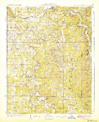
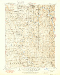
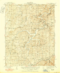
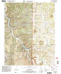
Editions of this 1928 Meramec Spring Map
3 editions found
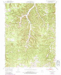
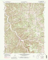
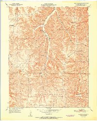
Historical Maps of Rolla Through Time
53 maps found
1928 Meramec Spring
Phelps County, MO

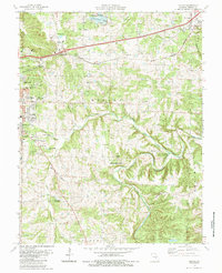
1934 Redbird
Phelps County, MO
1938 Redbird
Phelps County, MO
1949 Meramec Spring
Phelps County, MO
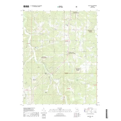
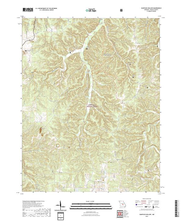
1950 Kaintuck Hollow
Phelps County, MO
1950 Yancy Mills
Phelps County, MO
1951 Kaintuck Hollow
Phelps County, MO
1951 Yancy Mills
Phelps County, MO
1954 Flat
Phelps County, MO
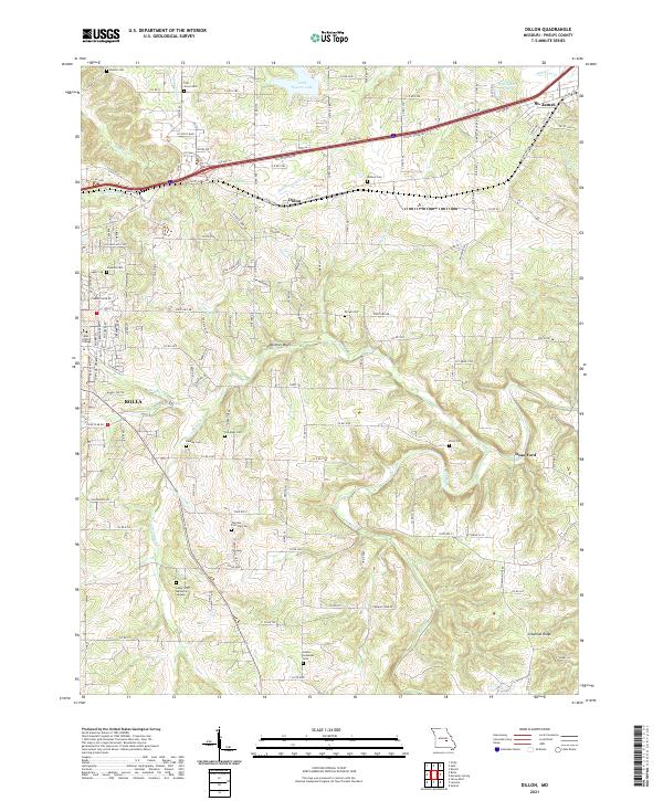
1963 Dillon
Phelps County, MO
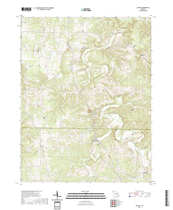
1963 Lecoma
Phelps County, MO
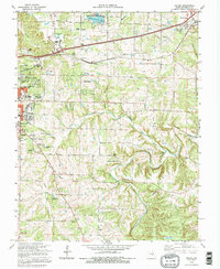
1963 Maramec Spring
Phelps County, MO
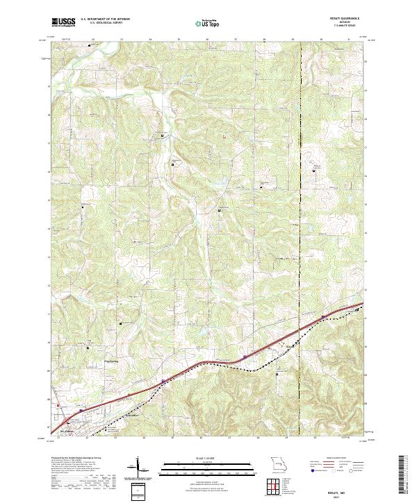
1963 Rosati
Phelps County, MO
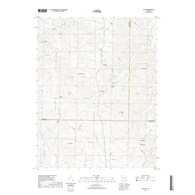
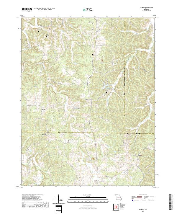
1963 Seaton
Phelps County, MO
1980 Dillon
Phelps County, MO
1980 Maramec Spring
Phelps County, MO
1985 Dillon
Phelps County, MO
1992 Dillon
Phelps County, MO
1992 Lecoma
Phelps County, MO
2004 Kaintuck Hollow
Phelps County, MO
2004 Yancy Mills
Phelps County, MO
2011 Kaintuck Hollow
Phelps County, MO
2011 Seaton
Phelps County, MO
2011 Yancy Mills
Phelps County, MO
2012 Dillon
Phelps County, MO
2012 Flat
Phelps County, MO
2012 Lecoma
Phelps County, MO
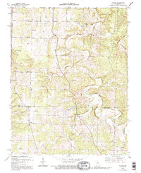
2012 Maramec Spring
Phelps County, MO
2012 Rosati
Phelps County, MO
2015 Dillon
Phelps County, MO
2015 Flat
Phelps County, MO
2015 Kaintuck Hollow
Phelps County, MO
2015 Lecoma
Phelps County, MO
2015 Maramec Spring
Phelps County, MO
2015 Rosati
Phelps County, MO
2015 Seaton
Phelps County, MO
2015 Yancy Mills
Phelps County, MO
2017 Dillon
Phelps County, MO
2017 Flat
Phelps County, MO
2017 Kaintuck Hollow
Phelps County, MO
2017 Lecoma
Phelps County, MO
2017 Maramec Spring
Phelps County, MO
2017 Rosati
Phelps County, MO
2017 Seaton
Phelps County, MO
2017 Yancy Mills
Phelps County, MO
2021 Dillon
Phelps County, MO

2021 Flat
Phelps County, MO
2021 Kaintuck Hollow
Phelps County, MO
2021 Lecoma
Phelps County, MO
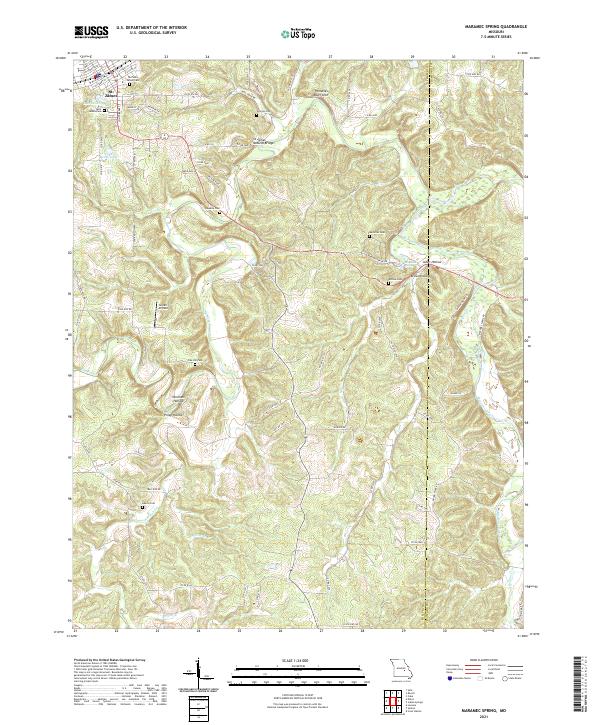
2021 Maramec Spring
Phelps County, MO
2021 Rosati
Phelps County, MO
2021 Seaton
Phelps County, MO
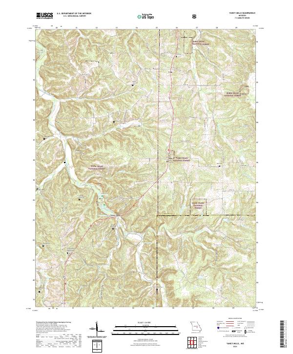
2021 Yancy Mills
Phelps County, MO