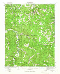
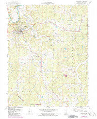
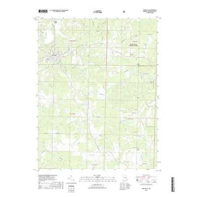
1933 Map of Steelville
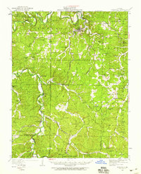
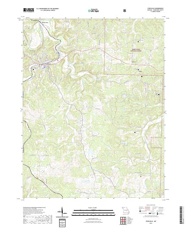
USGS Topo · Published 1966About this map
The Meramec River winds through this central Missouri landscape, anchoring a region of rugged drainage basins and narrow valley settlements. At the heart of the map, Steelville serves as the primary hub, where Yadkin Creek and Whittenburg Creek converge before joining the main river channel. The industrial and transportation identity of the era is defined by the St Louis San Francisco RR, which snakes south through the valleys to serve rural outposts like Keysville, Wesco, and Cook Station.
Find a feature on this map
62 named features on this map. Tap any name to fly to it.
Don’t see what you’re looking for? This feature index may not catch every label — zoom into the map to look around manually.
Map Details
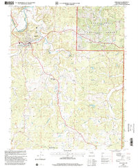
Editions of this 1933 Steelville Map
This is the sole edition of this map. No revisions or reprints were ever made.
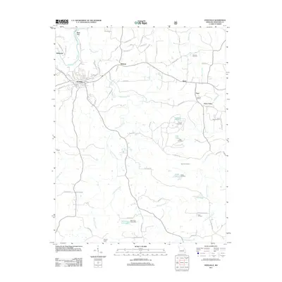
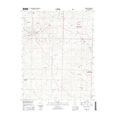
Historical Maps of Steelville Through Time
10 maps found
1932 Steelville
Crawford County, MO
1933 Steelville
Crawford County, MO
1937 Steelville
Crawford County, MO
1949 Steelville
Crawford County, MO
1978 Steelville
Crawford County, MO
1999 Steelville
Crawford County, MO
2011 Steelville
Crawford County, MO
2015 Steelville
Crawford County, MO
2017 Steelville
Crawford County, MO
2021 Steelville
Crawford County, MO