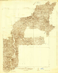
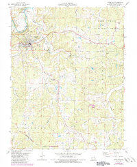
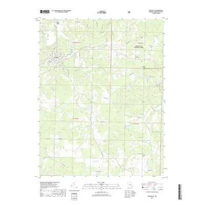
1932 Map of Steelville
USGS Topo · Published 1932About this map
The Meramec River basin and its winding tributaries define the rural landscape of central Crawford County in the early 1930s. The settlement of Steelville stands as a primary hub, with the St Louis-San Francisco railroad providing a vital corridor southward through Goltra Junction and Cooks Station. This era shows a distributed network of small community centers, each anchored by local institutions like New Home Ch and several one-room schoolhouses including Woolsey Sch, Carr Sch, and Center Point Sch.
Find a feature on this map
41 named features on this map. Tap any name to fly to it.
Don’t see what you’re looking for? This feature index may not catch every label — zoom into the map to look around manually.
Map Details
Editions of this 1932 Steelville Map
This is the sole edition of this map. No revisions or reprints were ever made.
Historical Maps of Steelville Through Time
10 maps found
1932 Steelville
Crawford County, MO
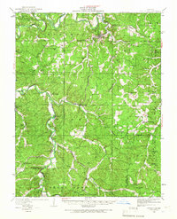
1933 Steelville
Crawford County, MO
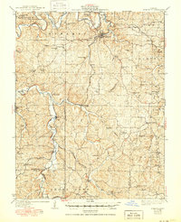
1937 Steelville
Crawford County, MO
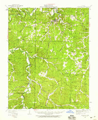
1949 Steelville
Crawford County, MO
1978 Steelville
Crawford County, MO
1999 Steelville
Crawford County, MO
2011 Steelville
Crawford County, MO
2015 Steelville
Crawford County, MO
2017 Steelville
Crawford County, MO
2021 Steelville
Crawford County, MO