
1890 Map of Hermann
USGS Topo · Published 1890About this map
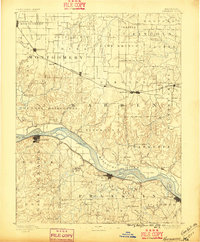
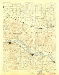
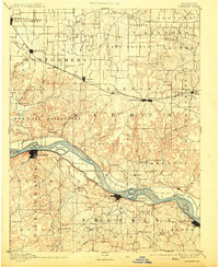
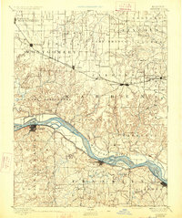
The Missouri River bisects this late 19th-century landscape, serving as the primary corridor for commerce and travel between the river towns of Hermann, New Haven, and Washington. These settlements, deeply rooted in the river-and-rail economy of the era, are complemented by a dense network of inland post offices and small communities such as Hopewell Academy P.O. and Swiss P.O.. The survey captures a moment when the Wabash Railroad to the north and the Pacific Railroad along the riverbank were essential lifelines for agricultural commerce in Warren and Montgomery counties.
Find a feature on this map
104 named features on this map. Tap any name to fly to it.
Don’t see what you’re looking for? This feature index may not catch every label — zoom into the map to look around manually.
Map Details
Editions of this 1890 Hermann Map
5 editions found
Other maps of this area

1890 · Louisiana
USGS Topo · 1:125,000

1890 · Mexico
USGS Topo · 1:125,000

1890 · Fulton
USGS Topo · 1:125,000

1901 · De Soto
USGS Topo · 1:125,000

1903 · O'Fallon
USGS Topo · 1:125,000

1903 · Sullivan
USGS Topo · 1:125,000

1934 · Elsberry
USGS Topo · 1:48,000

1934 · Bland
USGS Topo · 1:62,500

1935 · Gerald
USGS Topo · 1:48,000

1935 · Morrison
USGS Topo · 1:48,000