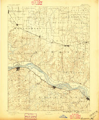
1890 Map of Hermann
USGS Topo · Published 1896About this map
The Missouri River creates a sprawling corridor through this late 19th-century landscape, separating the riverfront commerce of Hermann and New Haven from the elevated plateaus of Warrenton and Montgomery City. Settlement patterns follow two distinct ribbons of infrastructure: the Pacific Railroad hugging the southern river bluffs and the Wabash Railroad traversing the prairie uplands to the north. These lines connected burgeoning centers like Jonesburg and Wrights City to wider markets, while smaller rural communities relied on post offices like Hopewell Academy P.O. and Swiss P.O. for connectivity.
Find a feature on this map
100 named features on this map. Tap any name to fly to it.
Don’t see what you’re looking for? This feature index may not catch every label — zoom into the map to look around manually.
Map Details
Editions of this 1890 Hermann Map
5 editions found
Other maps of this area

1890 · Louisiana
USGS Topo · 1:125,000

1890 · Mexico
USGS Topo · 1:125,000

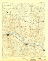
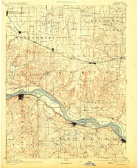
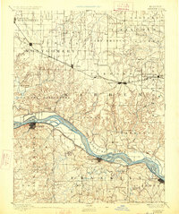
1890 · Hermann
USGS Topo · 1:125,000

1890 · Fulton
USGS Topo · 1:125,000

1901 · De Soto
USGS Topo · 1:125,000

1903 · O'Fallon
USGS Topo · 1:125,000

1903 · Sullivan
USGS Topo · 1:125,000

1934 · Elsberry
USGS Topo · 1:48,000

1934 · Bland
USGS Topo · 1:62,500

1935 · Gerald
USGS Topo · 1:48,000