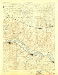
1890 Map of Hermann
USGS Topo · Published 1904About this map
The Missouri River corridor in the late 19th century was a landscape of bustling river towns and burgeoning rail lines. This survey captures the vital transportation network of the era, showing the Wabash Railroad cutting through the northern plains of Montgomery and Warren counties, while the Missouri Pacific Railroad follows the southern riverbank through New Haven and Washington. These competing transit modes reflect the shift from river-based trade to overland industrial growth.
Find a feature on this map
104 named features on this map. Tap any name to fly to it.
Don’t see what you’re looking for? This feature index may not catch every label — zoom into the map to look around manually.
Map Details
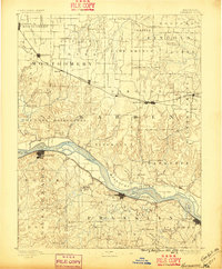
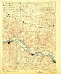
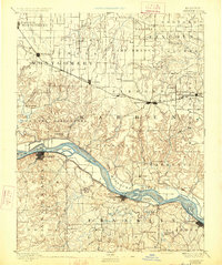
Editions of this 1890 Hermann Map
5 editions found
Other maps of this area

1890 · Louisiana
USGS Topo · 1:125,000

1890 · Mexico
USGS Topo · 1:125,000

1890 · Hermann
USGS Topo · 1:125,000

1890 · Fulton
USGS Topo · 1:125,000

1901 · De Soto
USGS Topo · 1:125,000

1903 · O'Fallon
USGS Topo · 1:125,000

1903 · Sullivan
USGS Topo · 1:125,000

1934 · Elsberry
USGS Topo · 1:48,000

1934 · Bland
USGS Topo · 1:62,500

1935 · Gerald
USGS Topo · 1:48,000