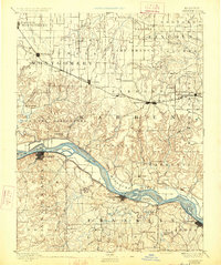
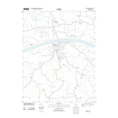
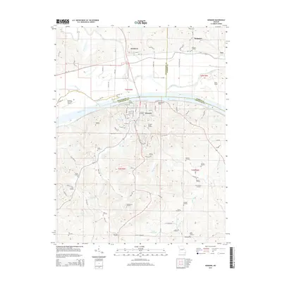
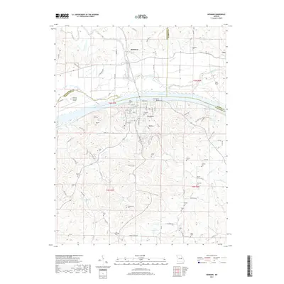
1936 Map of Hermann
USGS Topo · Published 1936About this map
Hermann serves as the focal point of this mid-1930s survey, situated along the southern banks of the Missouri River. The landscape is defined by the sharp transition from the broad river bottomlands to the intricate, dissected ridges of the interior. North of the river, the village of McKittrick sits near the Loutre River, surrounded by islands like Rush Island and McGirks Island. This era captures a rural network of schoolhouses and churches that served small agrarian communities, including the Swiss Sch, Rohl Sch, and Richwood Sch.
Find a feature on this map
65 named features on this map. Tap any name to fly to it.
Don’t see what you’re looking for? This feature index may not catch every label — zoom into the map to look around manually.
Map Details
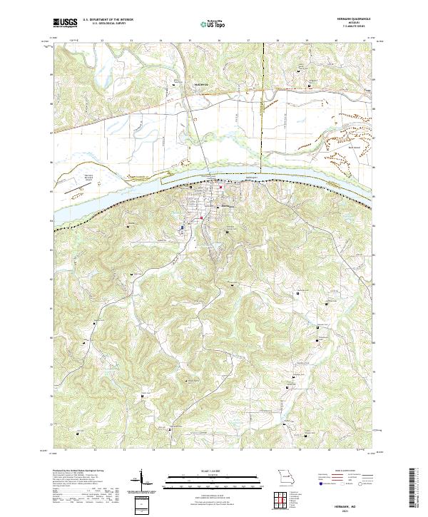
Editions of this 1936 Hermann Map
This is the sole edition of this map. No revisions or reprints were ever made.
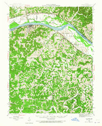
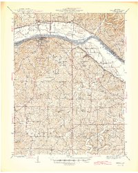
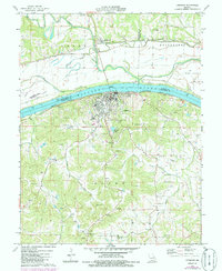
Historical Maps of Hermann Through Time
9 maps found