Loading...
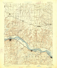
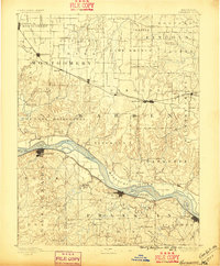
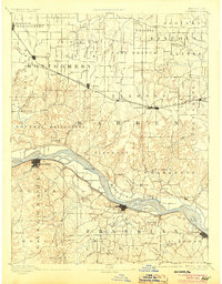
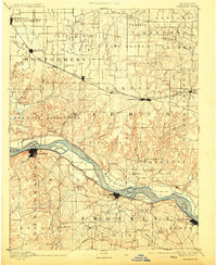
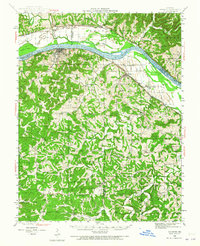
Loading map...1890 Map of Hermann
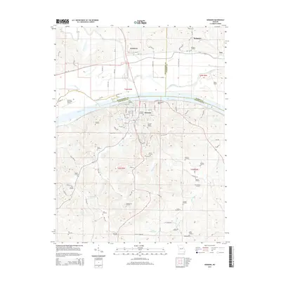
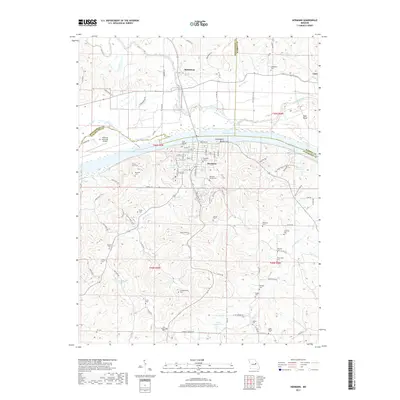
USGS Topo · Published 1926About this map
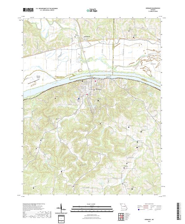
The Missouri River carves a deep valley through the center of this region, separating the prairie lands of Montgomery and Warren counties from the high, dissected ridges of Franklin to the south. Three major rail lines dictate the commercial layout of the late nineteenth century: the Wabash Railroad serves northern towns like Jonesburg and High Hill, the St. L. and K. City R.R. connects Warrenton and Truesdale, and the Pacific Railroad follows the southern riverbank through New Haven and Washington.
Find a feature on this map
98 named features on this map. Tap any name to fly to it.
Don’t see what you’re looking for? This feature index may not catch every label — zoom into the map to look around manually.
Map Details
Date Portrayed1890
Date Published1926
PublisherU.S. Geological Survey
Map TypeTopographic
Scale1:125,000
Physical Dimensions16.3 x 19.5 inches
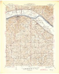
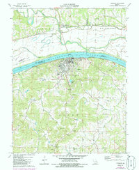
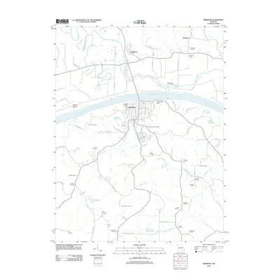
Editions of this 1890 Hermann Map
5 editions found

Historical Maps of Washington Through Time
9 maps found

Featured Locations
Source Details
SourceU.S. Geological Survey
CopyrightPublic Domain