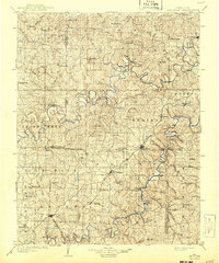
1903 Map of Sullivan
USGS Topo · Published 1943About this map
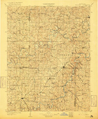
The Bourbeuse River and Meramec River carve deeply through the landscape of the Missouri Ozarks, their winding courses defining the geography of this region at the turn of the century. This survey, conducted in 1899, captures a network of small upland settlements and valley crossings established before the era of modern highways. The San Francisco and St Louis Railroad serves as the primary artery for trade and travel, connecting towns like Sullivan, Bourbon, and Leasburg. Away from the rail line, the map documents numerous river crossings such as Allen Ford and Boyd Ford, which were essential for local transit between rural communities like Japan, Elmont, and Spring Bluff. The rugged nature of the terrain is highlighted by distinctive natural features including Roaring Spr and Wildcat Spr, illustrating the karst topography that characterizes this part of Franklin and Crawford counties.
Find a feature on this map
91 named features on this map. Tap any name to fly to it.
Don’t see what you’re looking for? This feature index may not catch every label — zoom into the map to look around manually.
Map Details
Editions of this 1903 Sullivan Map
3 editions found
Other maps of this area

1890 · Hermann
USGS Topo · 1:125,000

1890 · Fulton
USGS Topo · 1:125,000

1901 · De Soto
USGS Topo · 1:125,000

1903 · O'Fallon
USGS Topo · 1:125,000

1903 · Sullivan
USGS Topo · 1:125,000

1906 · Potosi
USGS Topo · 1:62,500

1928 · Meramec Spring
USGS Topo · 1:62,500

1932 · Steelville
USGS Topo · 1:48,000

1933 · Steelville
USGS Topo · 1:62,500

1934 · Bland
USGS Topo · 1:62,500