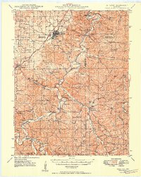
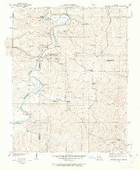
1949 Map of Sullivan
USGS Topo · Published 1949About this map
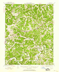
The St Louis San Francisco railroad cuts through this Ozark plateau landscape, anchoring the growth of Sullivan and Bourbon during the late 1940s. The topography is defined by the winding course of the Meramec River, which carved out subterranean landmarks like Onondaga Cave, Fisher Cave, and Cathedral Cave. These geological features established the area as a destination for recreation, seen in the development of Meramec State Park and St Anthony Camp.
Find a feature on this map
87 named features on this map. Tap any name to fly to it.
Don’t see what you’re looking for? This feature index may not catch every label — zoom into the map to look around manually.
Map Details
Editions of this 1949 Sullivan Map
This is the sole edition of this map. No revisions or reprints were ever made.
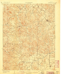
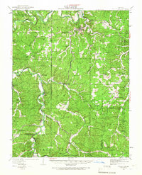
Other maps of this area

1901 · De Soto
USGS Topo · 1:125,000

1903 · Sullivan
USGS Topo · 1:125,000
1906 · Potosi
USGS Topo · 1:62,500
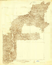
1932 · Steelville
USGS Topo · 1:48,000
1933 · Steelville
USGS Topo · 1:62,500
1934 · Meramec State Park
USGS Topo · 1:24,000
1935 · Gerald
USGS Topo · 1:48,000
1937 · Steelville
USGS Topo · 1:62,500
1937 · Meramec State Park
USGS Topo · 1:24,000
1941 · Gerald
USGS Topo · 1:62,500