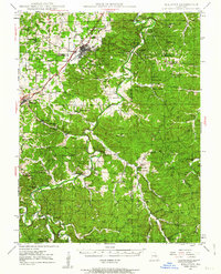
1947 Map of Sullivan
USGS Topo · Published 1963About this map
The Meramec River carves a deep, winding path through this portion of Missouri, where the river economy and the subterranean landscape of Meramec State Park define the local character. In the mid-20th century, the St Louis - San Francisco railroad and U S 66 anchor the northern settlements of Sullivan and Bourbon, while the southern reaches remain a dense network of creek valleys and family-named landmarks. The map reveals a high density of rural schoolhouses and community hubs, such as Pea Ridge Sch and Pleasant Hill Sch, alongside evidence of historical industry at Anthonies Mill and the Old Christy Mine. This era captures the landscape before modern development, preserving the locations of numerous caverns including Meramec Caverns, Onondaga Cave, and Fisher Cave, which have long been integral to the region's identity as a destination for exploration and early tourism.
Find a feature on this map
67 named features on this map. Tap any name to fly to it.
Don’t see what you’re looking for? This feature index may not catch every label — zoom into the map to look around manually.
Map Details
Editions of this 1947 Sullivan Map
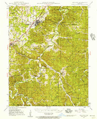
3 editions found

Other maps of this area

1901 · De Soto
USGS Topo · 1:125,000

1903 · Sullivan
USGS Topo · 1:125,000

1906 · Potosi
USGS Topo · 1:62,500

1932 · Steelville
USGS Topo · 1:48,000

1933 · Steelville
USGS Topo · 1:62,500

1934 · Meramec State Park
USGS Topo · 1:24,000

1935 · Gerald
USGS Topo · 1:48,000

1937 · Steelville
USGS Topo · 1:62,500

1937 · Meramec State Park
USGS Topo · 1:24,000

1941 · Gerald
USGS Topo · 1:62,500