
1947 Map of Sullivan
USGS Topo · Published 1947About this map
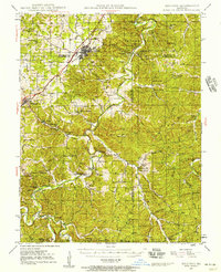
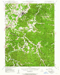
Meramec Caverns and the surrounding tourism developments of the late 1940s define this corridor along the St Louis - San Francisco railroad. The map reveals a landscape shaped by both the river and the rail, where the town of Sullivan serves as a central hub for the surrounding rural communities. To the south and east, the transition into the National Forest and Meramec State Park is evident, while the interior is dotted with local institutions such as Oak Grove Sch and Pilot Grove Ch.
Find a feature on this map
100 named features on this map. Tap any name to fly to it.
Don’t see what you’re looking for? This feature index may not catch every label — zoom into the map to look around manually.
Map Details
Editions of this 1947 Sullivan Map
3 editions found
Other maps of this area

1901 · De Soto
USGS Topo · 1:125,000

1903 · Sullivan
USGS Topo · 1:125,000

1906 · Potosi
USGS Topo · 1:62,500

1932 · Steelville
USGS Topo · 1:48,000

1933 · Steelville
USGS Topo · 1:62,500

1934 · Meramec State Park
USGS Topo · 1:24,000

1935 · Gerald
USGS Topo · 1:48,000

1937 · Steelville
USGS Topo · 1:62,500

1937 · Meramec State Park
USGS Topo · 1:24,000

1941 · Gerald
USGS Topo · 1:62,500