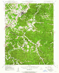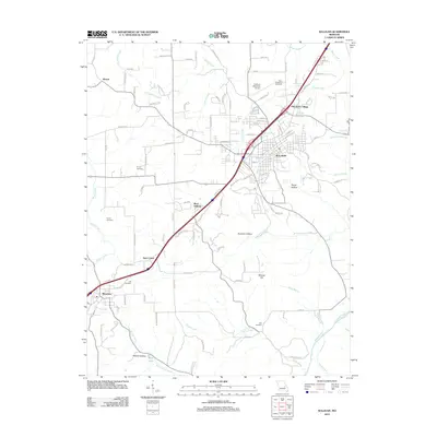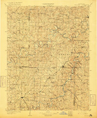
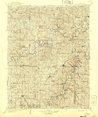
1903 Map of Sullivan
USGS Topo · Published 1916About this map
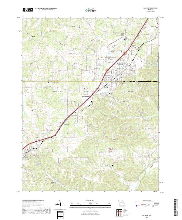
Sullivan stands as a focal point in this early twentieth-century Missouri landscape, where the confluence of early rail routes and numerous river crossings defined local commerce. The map reveals an intricate network of river fords along the Meramec and Bourbeuse rivers, including Ben Harrison Ford, Fisher Ford, and Allen Ford, which served as vital transit points before the widespread construction of bridges. Small rural communities like Japan, Spring Bluff, and Rosebud are shown as they were when serving as the primary social and economic hubs for the surrounding farmsteads.
Find a feature on this map
85 named features on this map. Tap any name to fly to it.
Don’t see what you’re looking for? This feature index may not catch every label — zoom into the map to look around manually.
Map Details
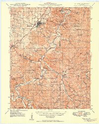
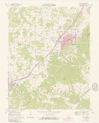
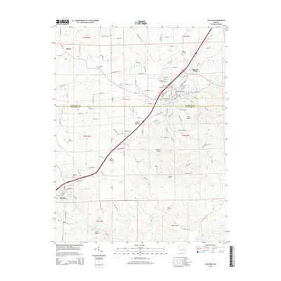
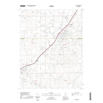
Editions of this 1903 Sullivan Map
3 editions found

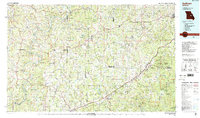
Historical Maps of Union Through Time
9 maps found