2000s (21st Century) Maps of Macon, Missouri
Explore 16 historic maps of Macon from the 2000s (21st Century). These maps offer a rare glimpse into what life looked like during the 2000s — showing old roads, neighborhoods, homes, and landmarks that have changed or disappeared over time.
Whether you're researching your family's past, planning a metal detecting trip, or studying how Macon's landscape evolved across the 2000s, these high-resolution maps are a powerful tool for exploring the history of this region.
- Focus on a specific era: All maps on this page are from the 2000s, giving you a focused view of this time period.
- See what’s changed: Compare century-old streets, trails, and buildings to today's modern landscape using overlays and satellite layers.
- Research with precision: Use these maps for genealogy, historical research, land use analysis, or educational projects.
- View, download, or print: Maps are fully viewable online in high resolution, and can be downloaded or printed for your own records.
Start exploring Macon's history through authentic maps from the 2000s. This is your window into the past.
Macon, MO maps
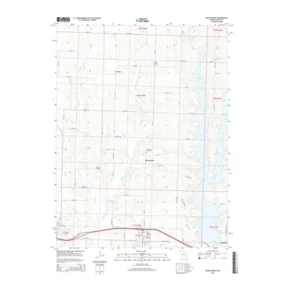
(16)- 2012 Map of Bevier North, 2012 Print
 2012 Bevier North2012 Print · USGSCovers Macon, including Bevier, Callao, and other nearby areas
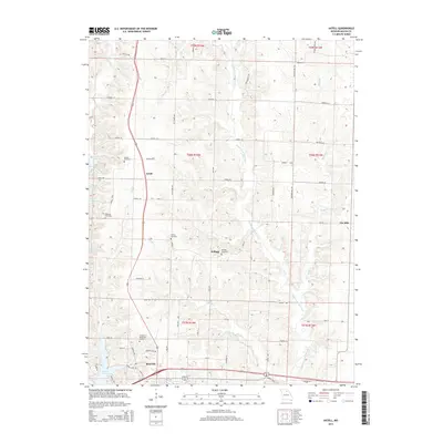
 - 2012 Map of Axtell, 2012 Print
 2012 Axtell2012 Print · USGSCovers Macon, including Axtell, Kellogg, and other nearby areas
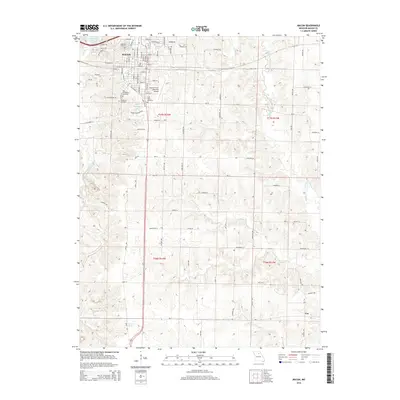
 - 2012 Map of Macon, 2012 Print
 2012 Macon2012 Print · USGSCovers Macon, including Cox, Excello, and other nearby areas
 - 2012 Map of Bevier South, 2012 Print
 2012 Bevier South2012 Print · USGSCovers Macon, including Bevier, Chariton, and other nearby areas
 - 2014 Map of Bevier North, 2014 Print
 2014 Bevier North2014 Print · USGSCovers Macon, including Bevier, Callao, and other nearby areas
 - 2014 Map of Bevier South, 2014 Print
 2014 Bevier South2014 Print · USGSCovers Macon, including Bevier, Chariton, and other nearby areas
 - 2014 Map of Axtell, 2014 Print
 2014 Axtell2014 Print · USGSCovers Macon, including Axtell, Kellogg, and other nearby areas
 - 2014 Map of Macon, 2014 Print
 2014 Macon2014 Print · USGSCovers Macon, including Cox, Excello, and other nearby areas
 - 2017 Map of Bevier South, 2017 Print
 2017 Bevier South2017 Print · USGSCovers Macon, including Bevier, Chariton, and other nearby areas
 - 2017 Map of Bevier North, 2017 Print
 2017 Bevier North2017 Print · USGSCovers Macon, including Bevier, Callao, and other nearby areas
 - 2017 Map of Axtell, 2017 Print
 2017 Axtell2017 Print · USGSCovers Macon, including Axtell, Kellogg, and other nearby areas
 - 2017 Map of Macon, 2017 Print
 2017 Macon2017 Print · USGSCovers Macon, including Cox, Excello, and other nearby areas
 - 2021 Map of Bevier South, 2021 Print
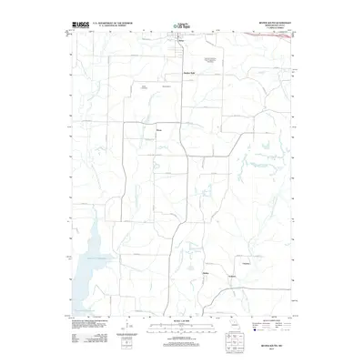
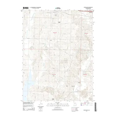
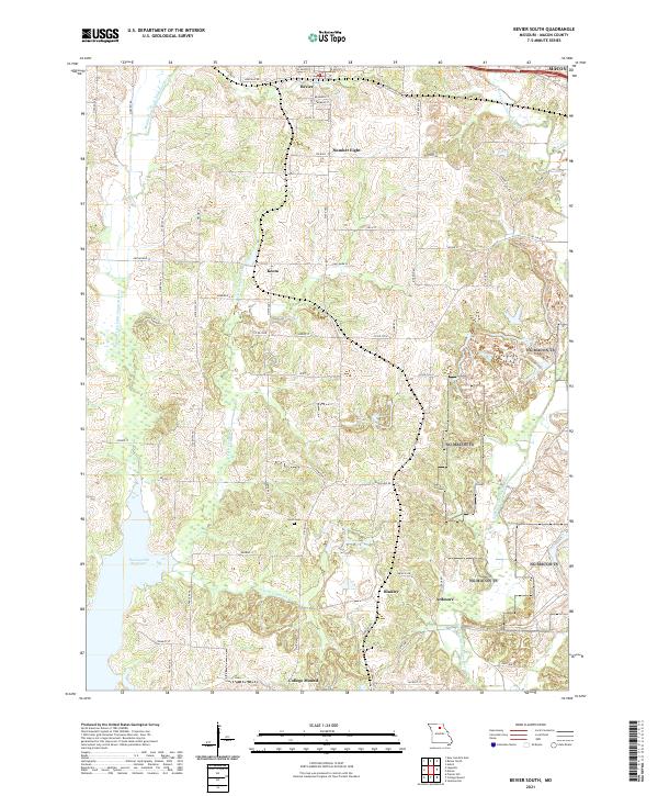 2021 Bevier South2021 Print · USGSMacon County's rural landscape is captured here in the early twenty-first century, showing the enduring layout of small Missouri communities. Researchers can trace the legacy of local settlements like Keota and College Mound or locate Union Cem near the headwaters of S Fork Claybank Cr.
 - 2021 Map of Axtell, 2021 Print
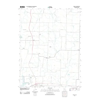
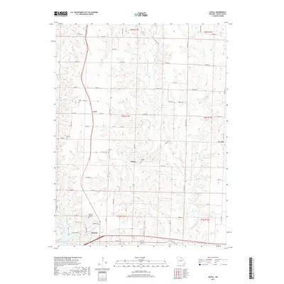
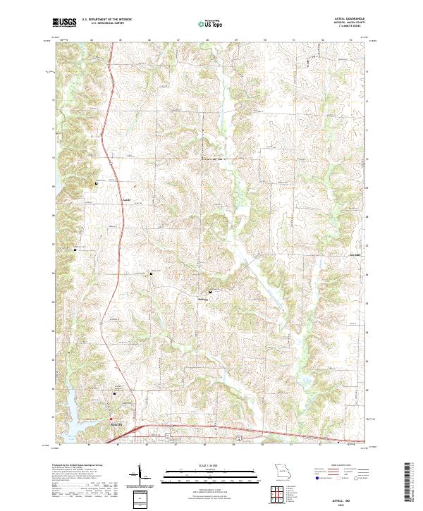 2021 Axtell2021 Print · USGSMacon County in the early 2020s shows a landscape of small river valleys and agricultural settlements north of the county seat. Researchers can trace family history through sites like Powell Cem and Axtell or follow the course of the Middle Fork Salt River.
 - 2021 Map of Macon, 2021 Print
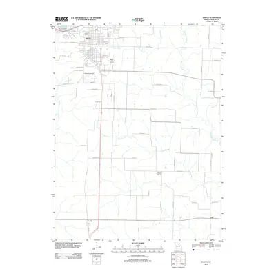
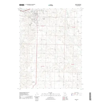
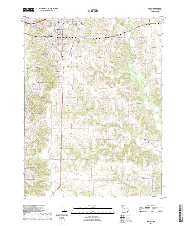 2021 Macon2021 Print · USGSMacon and its surrounding countryside are captured here in the early 2020s, revealing a landscape shaped by civic history and river systems. Researchers can locate several significant burial sites like East Woodlawn Cem and trace the proximity of the Macon County Courthouse to the outlying settlement of Excello.
 - 2021 Map of Bevier North, 2021 Print
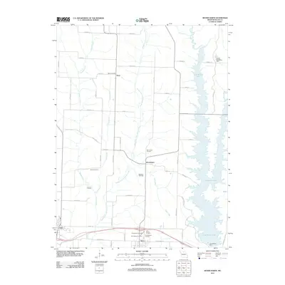
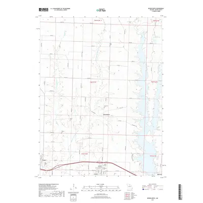
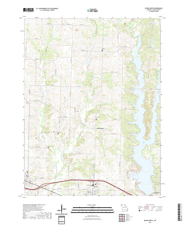 2021 Bevier North2021 Print · USGSMacon County's rural townships and river valleys are captured here in the early twenty-first century, showing the intersection of historic settlements and modern recreation. Researchers can locate numerous family burial sites such as Old Callao Cem and Milam Chapel Cem or trace the northern waters of Long Branch Lake.
End of results
Showing maps 1-16 of 16
Top cities near Macon
- Clarence historical maps
- Bevier historical maps
- Cairo historical maps
- Callao historical maps
- Jacksonville historical maps
- Elmer historical maps
Frequently asked questions
- What are the different types of historical maps available for Macon?
- What is the oldest map of Macon?
- Where can I purchase historical maps of Macon for my home or office?
- Where can I download high-res historical maps of Macon?
- Are there historical topographic maps available for Macon?
- Is there historical aerial imagery available for Macon?
- Where are historical maps of Macon sourced from?