2000s (21st Century) Maps of Altenburg, Missouri
Explore 8 historic maps of Altenburg from the 2000s (21st Century). These maps offer a rare glimpse into what life looked like during the 2000s — showing old roads, neighborhoods, homes, and landmarks that have changed or disappeared over time.
Whether you're researching your family's past, planning a metal detecting trip, or studying how Altenburg's landscape evolved across the 2000s, these high-resolution maps are a powerful tool for exploring the history of this region.
- Focus on a specific era: All maps on this page are from the 2000s, giving you a focused view of this time period.
- See what’s changed: Compare century-old streets, trails, and buildings to today's modern landscape using overlays and satellite layers.
- Research with precision: Use these maps for genealogy, historical research, land use analysis, or educational projects.
- View, download, or print: Maps are fully viewable online in high resolution, and can be downloaded or printed for your own records.
Start exploring Altenburg's history through authentic maps from the 2000s. This is your window into the past.
Altenburg, MO maps
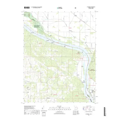
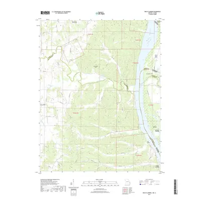
(8)- 2012 Map of Neelys Landing, 2012 Print
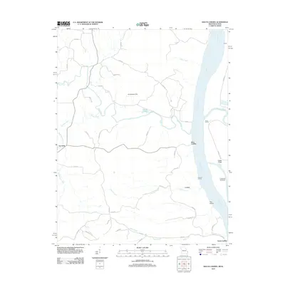 2012 Neelys Landing2012 Print · USGSCovers Altenburg, including Grand Tower, Lovejoy, and other nearby areas
 - 2012 Map of Altenburg, 2012 Print
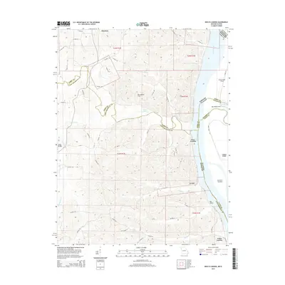
 2012 Altenburg2012 Print · USGSCovers Altenburg, including Grand Tower, Frohna, and other nearby areas
 - 2015 Map of Altenburg, 2015 Print
 2015 Altenburg2015 Print · USGSCovers Altenburg, including Grand Tower, Frohna, and other nearby areas
 - 2015 Map of Neelys Landing, 2015 Print
 2015 Neelys Landing2015 Print · USGSCovers Altenburg, including Grand Tower, Lovejoy, and other nearby areas
 - 2017 Map of Altenburg, 2017 Print
 2017 Altenburg2017 Print · USGSCovers Altenburg, including Grand Tower, Frohna, and other nearby areas
 - 2017 Map of Neelys Landing, 2017 Print
 2017 Neelys Landing2017 Print · USGSCovers Altenburg, including Grand Tower, Lovejoy, and other nearby areas
 - 2021 Map of Altenburg, 2021 Print
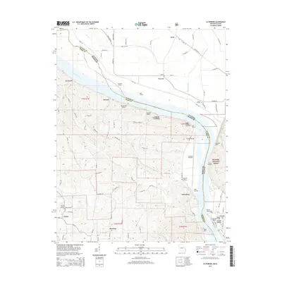
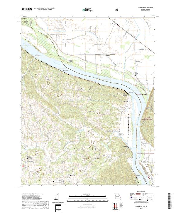 2021 Altenburg2021 Print · USGSThe Missouri-Illinois borderlands come alive in this recent survey of Perry and Jackson counties. Local historians can trace the legacy of German settlement through Altenburg and Frohna, or locate family sites at Trinity Church Cem and Tower Rock.
 - 2021 Map of Neelys Landing, 2021 Print
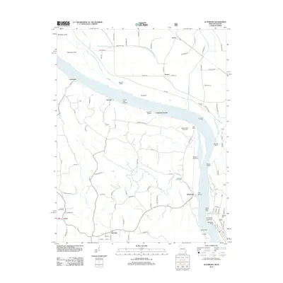
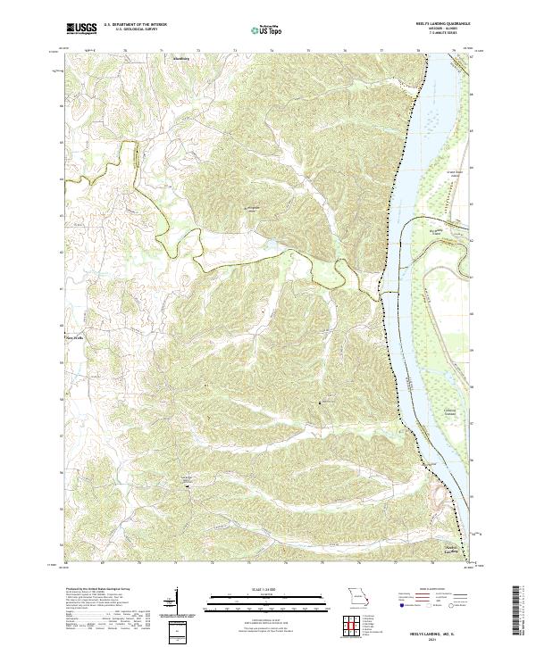 2021 Neelys Landing2021 Print · USGSThe Mississippi River border between Missouri and Illinois remains a land of river islands and rural bluffs in the early twenty-first century. Researchers can trace family roots at New Bethel Baptist Church Cem and the riverfront at Neelys Landing.
End of results
Showing maps 1-8 of 8
Top cities near Altenburg
- Jackson historical maps
- Murphysboro historical maps
- Sand Ridge historical maps
- Grand Tower historical maps
- Oak Ridge historical maps
- Gorham historical maps
See more
Frequently asked questions
- What are the different types of historical maps available for Altenburg?
- What is the oldest map of Altenburg?
- Where can I purchase historical maps of Altenburg for my home or office?
- Where can I download high-res historical maps of Altenburg?
- Are there historical topographic maps available for Altenburg?
- Is there historical aerial imagery available for Altenburg?
- Where are historical maps of Altenburg sourced from?