2000s (21st Century) Maps of Franks, Missouri
Explore 5 historic maps of Franks from the 2000s (21st Century). These maps offer a rare glimpse into what life looked like during the 2000s — showing old roads, neighborhoods, homes, and landmarks that have changed or disappeared over time.
Whether you're researching your family's past, planning a metal detecting trip, or studying how Franks's landscape evolved across the 2000s, these high-resolution maps are a powerful tool for exploring the history of this region.
- Focus on a specific era: All maps on this page are from the 2000s, giving you a focused view of this time period.
- See what’s changed: Compare century-old streets, trails, and buildings to today's modern landscape using overlays and satellite layers.
- Research with precision: Use these maps for genealogy, historical research, land use analysis, or educational projects.
- View, download, or print: Maps are fully viewable online in high resolution, and can be downloaded or printed for your own records.
Start exploring Franks's history through authentic maps from the 2000s. This is your window into the past.
Franks, MO maps
(5)- 2004 Map of Dixon, 2006 Print
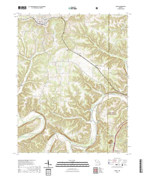
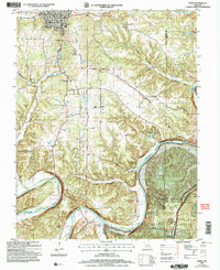 2004 Dixon2006 Print · USGSThe town of Dixon and the sharp bends of the Gasconade River define this Pulaski County landscape in the early 2000s. Researchers can locate several historical sites, including Gaddy Sch (Site), Goodall Cem, and Portuguese Point along the river cliffs.
 - 2012 Map of Dixon, 2012 Print
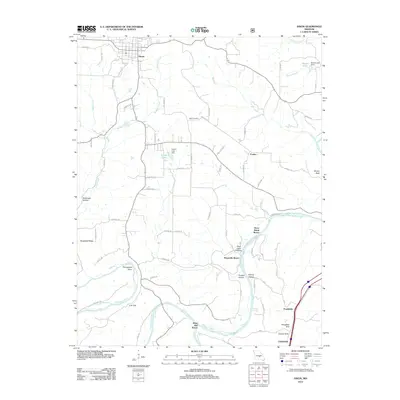 2012 Dixon2012 Print · USGSCovers Franks, including Dixon, Clementine, and other nearby areas
 - 2015 Map of Dixon, 2015 Print
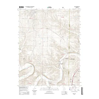 2015 Dixon2015 Print · USGSCovers Franks, including Dixon, Clementine, and other nearby areas
 - 2017 Map of Dixon, 2017 Print
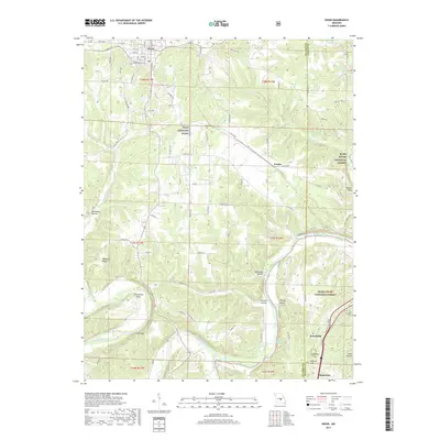 2017 Dixon2017 Print · USGSCovers Franks, including Dixon, Clementine, and other nearby areas
 - 2021 Map of Dixon, 2021 Print
 2021 Dixon2021 Print · USGSDixon and the surrounding river valleys are captured here in the early 2020s, showcasing the intersection of small-town grids and the Gasconade River. Genealogists and researchers can locate Egan Cem, the river bend at Portuguese Point, and the crossroads at Powellville.
End of results
Showing maps 1-5 of 5
Top cities near Franks
- Rolla historical maps
- Saint Robert historical maps
- Waynesville historical maps
- Dixon historical maps
- Crocker historical maps
- Doolittle historical maps
See more
Frequently asked questions
- What are the different types of historical maps available for Franks?
- What is the oldest map of Franks?
- Where can I purchase historical maps of Franks for my home or office?
- Where can I download high-res historical maps of Franks?
- Are there historical topographic maps available for Franks?
- Is there historical aerial imagery available for Franks?
- Where are historical maps of Franks sourced from?