Old Maps of Ray County, Missouri
Explore 40 old maps of Ray County, spanning from 1889 to today. These high-resolution historic maps reveal how streets, neighborhoods, landmarks, and natural features evolved over time — perfect for genealogy, metal detecting, research, and local history exploration.
What you can do with these maps:
- See how Ray County changed over time: Compare historical maps to modern-day views to trace roads, homesites, rail lines & more.
- View detailed metadata: Each map includes creators, publishers, year, scale, and archive source.
- Overlay maps with satellite & LiDAR: Visualize the past alongside modern tools to explore terrain & human change.
- Trusted historical sources: Maps sourced from the USGS, Library of Congress, and other archives.
- Access maps your way: View online, download high-res files, or order prints for personal or research use.
Start exploring old maps of Ray County to uncover forgotten places, hidden landmarks, and the deep history beneath your feet.
Ray County, MO maps
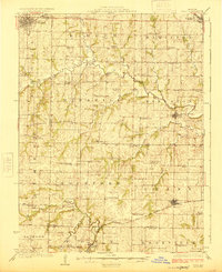
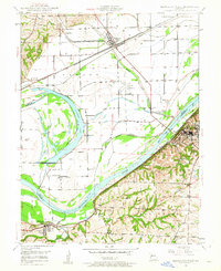
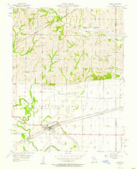
(40)- 1889 Map of Lexington
 1889 Lexington1889 Print · USGSCovers Ray County, including Richmond, Odessa, and other nearby areas6 unique versions available
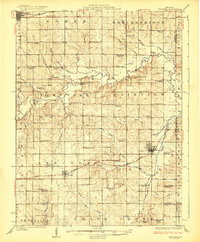
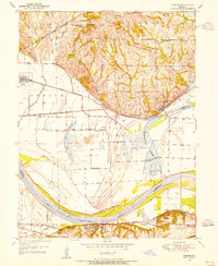
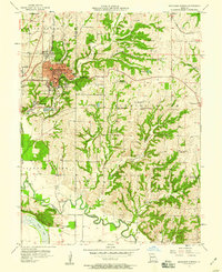
 - 1894 Map of Independence
 1894 Independence1894 Print · USGSCovers Ray County, including Kansas City, Independence, and other nearby areas5 unique versions available
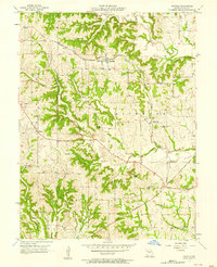
 - 1924 Map of Polo
 1924 Polo1924 Print · USGSCovers Ray County, including Cameron, Hamilton, and other nearby areas2 unique versions available
 - 1924 Map of Braymer
 1924 Braymer1924 Print · USGSCovers Ray County, including Hamilton, Braymer, and other nearby areas3 unique versions available
 - 1935 Map of Buckner
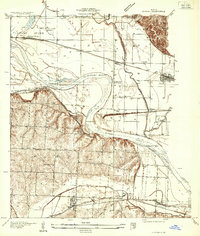 1935 Buckner1935 Print · USGSCovers Ray County, including Independence, Buckner, and other nearby areas2 unique versions available
 - 1949 Map of Lexington East, 1963 Print
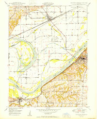
 1949 Lexington East1963 Print · USGSCovers Ray County, including Lexington, Lafayette County, and other nearby areas3 unique versions available
 - 1949 Map of Lexington West, 1963 Print
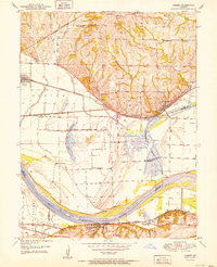
 1949 Lexington West1963 Print · USGSCovers Ray County, including Richmond, Lexington, and other nearby areas3 unique versions available
 - 1950 Map of Lexington East
 1950 Lexington East1950 Print · USGSCovers Ray County, including Lexington, Lafayette County, and other nearby areas
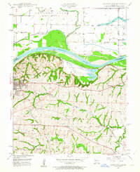
 - 1950 Map of Kansas City
 1950 Kansas City1950 Print · USGSCovers Ray County, including Kansas City, Overland Park, and other nearby areas
 - 1950 Map of Camden, 1955 Print
 1950 Camden1955 Print · USGSCovers Ray County, including Orrick, Camden, and other nearby areas4 unique versions available
 - 1950 Map of Lexington West, 1965 Print
 1950 Lexington West1965 Print · USGSCovers Ray County, including Richmond, Lexington, and other nearby areas
 - 1951 Map of Camden
 1951 Camden1951 Print · USGSCovers Ray County, including Orrick, Camden, and other nearby areas2 unique versions available
 - 1953 Map of Moberly
 1953 Moberly1953 Print · USGSCovers Ray County, including Columbia, Moberly, and other nearby areas
 - 1954 Map of Kansas City
 1954 Kansas City1954 Print · USGSCovers Ray County, including Kansas City, Overland Park, and other nearby areas
 - 1954 Map of Moberly, 1969 Print
 1954 Moberly1969 Print · USGSCovers Ray County, including Columbia, Moberly, and other nearby areas3 unique versions available
 - 1956 Map of Kansas City, 1967 Print
 1956 Kansas City1967 Print · USGSCovers Ray County, including Kansas City, Overland Park, and other nearby areas4 unique versions available
 - 1957 Map of Moberly
 1957 Moberly1957 Print · USGSCovers Ray County, including Columbia, Moberly, and other nearby areas
 - 1957 Map of Stet, 1958 Print
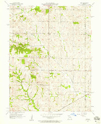 1957 Stet1958 Print · USGSCovers Ray County, including Stet, Regal, and other nearby areas2 unique versions available
 - 1957 Map of Knoxville, 1958 Print
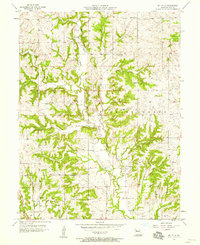
 1957 Knoxville1958 Print · USGSCovers Ray County, including Sandals, Knoxville, and other nearby areas2 unique versions available
 - 1957 Map of Lawson, 1958 Print
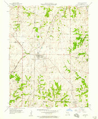 1957 Lawson1958 Print · USGSCovers Ray County, including Excelsior Springs, Lawson, and other nearby areas2 unique versions available
 - 1957 Map of Millville, 1958 Print
 1957 Millville1958 Print · USGSCovers Ray County, including Georgeville, Taitsville, and other nearby areas2 unique versions available
 - 1957 Map of Hardin, 1958 Print
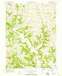
 1957 Hardin1958 Print · USGSCovers Ray County, including Hardin, Lakeview, and other nearby areas2 unique versions available
 - 1957 Map of Excelsior Springs, 1958 Print
 1957 Excelsior Springs1958 Print · USGSCovers Ray County, including Excelsior Springs, Crystal Lakes, and other nearby areas2 unique versions available
 - 1957 Map of Richmond, 1958 Print
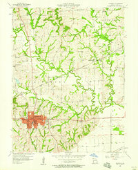 1957 Richmond1958 Print · USGSCovers Ray County, including Richmond, Dockery, and other nearby areas2 unique versions available
 - 1957 Map of Rayville, 1958 Print
 1957 Rayville1958 Print · USGSCovers Ray County, including Rayville, Elkhorn, and other nearby areas2 unique versions available
Showing maps 1-25 of 40
Top cities of Ray County
- Richmond historical maps
- Orrick historical maps
- Hardin historical maps
- Henrietta historical maps
- Crystal Lakes historical maps
- Camden historical maps
See more
Frequently asked questions
- What are the different types of historical maps available for Ray County?
- What is the oldest map of Ray County?
- Where can I purchase historical maps of Ray County for my home or office?
- Where can I download high-res historical maps of Ray County?
- Are there historical topographic maps available for Ray County?
- Is there historical aerial imagery available for Ray County?
- Where are historical maps of Ray County sourced from?