Old Maps of Wilkie, Missouri
Explore 16 old maps of Wilkie, spanning from 1927 to today. These high-resolution historic maps reveal how streets, neighborhoods, landmarks, and natural features evolved over time — perfect for genealogy, metal detecting, research, and local history exploration.
What you can do with these maps:
- See how Wilkie changed over time: Compare historical maps to modern-day views to trace roads, homesites, rail lines & more.
- View detailed metadata: Each map includes creators, publishers, year, scale, and archive source.
- Overlay maps with satellite & LiDAR: Visualize the past alongside modern tools to explore terrain & human change.
- Trusted historical sources: Maps sourced from the USGS, Library of Congress, and other archives.
- Access maps your way: View online, download high-res files, or order prints for personal or research use.
Start exploring old maps of Wilkie to uncover forgotten places, hidden landmarks, and the deep history beneath your feet.
Wilkie, MO maps
(16)- 1927 Map of St. Charles, 1955 Print
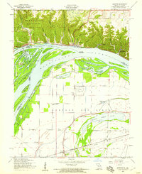
 1927 St. Charles1955 Print · USGSThe Missouri and Mississippi rivers meet in this mid-century survey, showcasing a landscape of fertile bottomlands and early aviation hubs. Genealogists can trace family footprints through dozens of rural landmarks like St Stanislaus Seminary, Orchard Farm, and Cul de Sac Sch.2 unique versions available
 - 1933 Map of Saint Charles
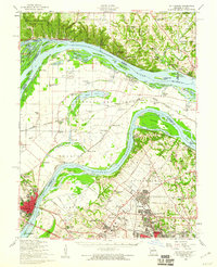
 1933 Saint Charles1933 Print · USGSThe confluence of the Missouri and Mississippi rivers in the early thirties reveals a landscape of fertile river bottoms and emerging suburban rail towns. Genealogists and researchers can trace old school districts like Cul de Sac Sch and historic sites such as St Stanislaus Seminary.3 unique versions available
 - 1949 Map of Saint Louis
 1949 Saint Louis1949 Print · USGSGreater St. Louis and its surrounding river valleys are captured here just after the war, showing the metropolitan core and the rural Ozark fringe. Researchers can trace the sprawling rail network of the Wabash RR or locate landmarks like Meramec Caverns Airport and Scott Air Force Base.2 unique versions available
 - 1954 Map of Grafton, 1959 Print
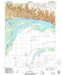
 1954 Grafton1959 Print · USGSThe confluence of the Illinois and Mississippi Rivers is captured here in the mid-1950s, showing a landscape defined by dramatic bluffs and low-lying chutes. Genealogists can locate family landmarks like Scenic Hill Cem and old country schoolhouses such as Pleasant Union Sch and Lake View Sch.4 unique versions available
 - 1954 Map of St. Charles, 1960 Print
 1954 St. Charles1960 Print · USGSThe river confluence near St. Louis during the mid-fifties reveals a landscape balancing traditional river life with rapid suburban and aviation growth. Genealogists and historians can trace family roots through sites like St Stanislaus Seminary Cem, Portage Des Sioux, and the campus of Principia College.2 unique versions available
 - 1962 Map of St. Louis
 1962 St. Louis1962 Print · USGSThe mid-century gateway to the west shows the metropolitan expansion of St Louis alongside its critical river confluences. Genealogists and historians can trace the rail corridors of the Missouri Pacific RR and settlements from Fulton to De Soto.
 - 1963 Map of St. Louis, 1970 Print
 1963 St. Louis1970 Print · USGSSt. Louis and its surrounding river valleys are captured here during the peak of mid-century suburban expansion and industrial activity. Trace the historic rail routes of the Norfolk and Western Ry or locate the St Louis Ordnance Plant and early stretches of US Highway 66.4 unique versions available
 - 1966 Map of St. Louis
 1966 St. Louis1966 Print · USGSThe St. Louis metropolitan area and its surrounding river valleys are captured here during the mid-sixties era of suburban growth and industrial strength. Genealogists and historians can trace the foundations of local communities through sites like Old Pioneer Cem, Parks College, and the Jefferson Barracks Military Reservation.
 - 1985 Map of St Louis
 1985 St Louis1985 Print · USGSThe St. Louis metropolitan area and its river confluences are captured here during a period of significant suburban expansion in the 1980s. Genealogists and historians can trace the development of older neighborhoods and landmarks like Jefferson Barracks, Cahokia Mounds State Park, and Washington University.3 unique versions available
 - 1990 Map of Grafton, 1995 Print
 1990 Grafton1995 Print · USGSThe rivers of Illinois and Missouri meet at the turn of the 1990s in a landscape of dramatic bluffs and expansive floodplains. Researchers can trace the riverfront at Grafton, explore the ravines of Pere Marquette State Park, and locate rural landmarks like Orchard Farm or Scenic Hill Cem.
 - 2012 Map of Grafton, 2012 Print
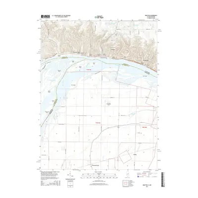
 2012 Grafton2012 Print · USGSCovers Wilkie, including Grafton, Camden, and other nearby areas
 - 2015 Map of Grafton, 2015 Print
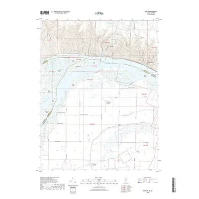
 2015 Grafton2015 Print · USGSCovers Wilkie, including Grafton, Camden, and other nearby areas
 - 2018 Map of Grafton, 2018 Print
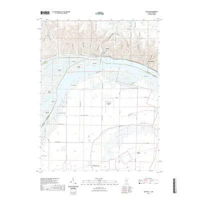
 2018 Grafton2018 Print · USGSCovers Wilkie, including Grafton, Camden, and other nearby areas
 - 2021 Map of Grafton, 2021 Print
 2021 Grafton2021 Print · USGSCovers Wilkie, including Grafton, Camden, and other nearby areas
 - 2023 Map of Grafton, 2023 Print
 2023 Grafton2023 Print · USGSCovers Wilkie, including Grafton, Camden, and other nearby areas
 - 2024 Map of Grafton, 2024 Print
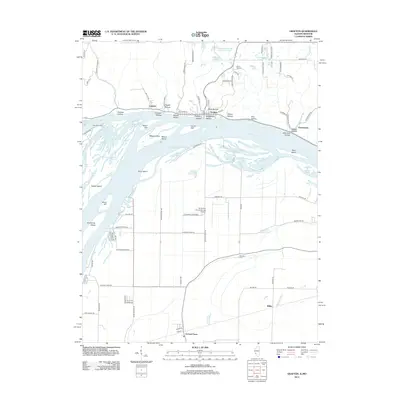
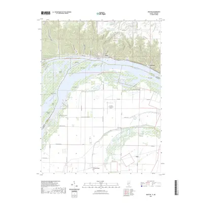
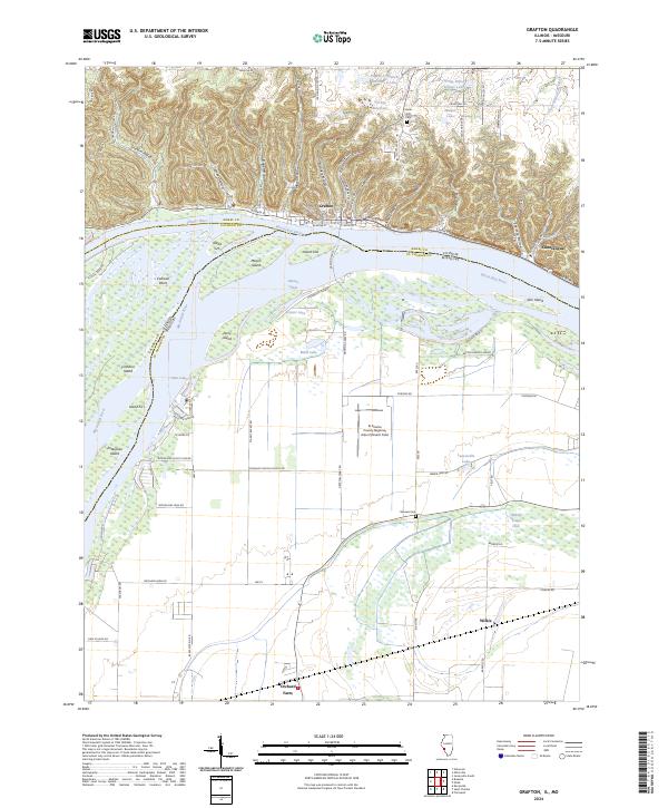 2024 Grafton2024 Print · USGSThe Illinois and Mississippi rivers meet in this contemporary survey of the riverfront bluffs and lowlands. Trace the local geography from the hollows of Grafton to settlements like Chautauqua and family-named sites such as Barweis Cem and Mason Island.
End of results
Showing maps 1-16 of 16
Top cities near Wilkie
- Saint Charles historical maps
- Saint Peters historical maps
- Florissant historical maps
- Chesterfield historical maps
- Wildwood historical maps
- University City historical maps
See more
Frequently asked questions
- What are the different types of historical maps available for Wilkie?
- What is the oldest map of Wilkie?
- Where can I purchase historical maps of Wilkie for my home or office?
- Where can I download high-res historical maps of Wilkie?
- Are there historical topographic maps available for Wilkie?
- Is there historical aerial imagery available for Wilkie?
- Where are historical maps of Wilkie sourced from?