Old Maps of Rutledge, Missouri for Metal Detecting
Plan your next treasure hunt with 10 historic maps of Rutledge. Find old homesites, ghost towns, trails, and gathering spots that may be lost to time — perfect for identifying promising metal detecting locations.
- Locate forgotten sites: Uncover places like long-lost settlements, abandoned rail lines, or gathering spots.
- Plan better hunts: Use map overlays combined with LiDAR or satellite views to narrow in on historically rich areas.
- Made for detectorists: Thousands of hobbyists use these maps to discover relics, coins, and hidden history.
Use these historic maps to boost your research and find new opportunities beneath the surface of Rutledge.
Rutledge, MO maps
(10)- 1903 Map of Edina
 1903 Edina1903 Print · USGSNortheast Missouri at the turn of the century shows a bustling landscape of rail-fed market towns and river valley townships. Researchers can trace the path of the Santa Fe Railroad through Baring or locate early settlements like Pleasant Retreat and Bible Grove.2 unique versions available
 - 1954 Map of Centerville, 1967 Print
 1954 Centerville1967 Print · USGSThe Iowa-Missouri borderlands at mid-century reveal a landscape shaped by river valleys and the height of the regional rail network. Genealogists and historians can trace the paths of the Wabash railroad and locate old townsites like Mystic, Moulton, and Greentop.3 unique versions available
 - 1957 Map of Centerville
 1957 Centerville1957 Print · USGSThe Iowa-Missouri borderlands in the mid-fifties reveal a landscape of river-valley agriculture and vital rail corridors. Genealogists and historians can trace family-named landmarks and small-town growth in Centerville, Kirksville, and along the Wabash railroad line.
 - 1958 Map of Centerville
 1958 Centerville1958 Print · USGSThe Iowa-Missouri borderlands come into focus during the mid-fifties, showing a landscape defined by river valleys and intersecting rail lines. Genealogists and local historians can trace family roots through dozens of rural hubs like Bloomfield, Unionville, and Corydon.
 - 1965 Map of Rutledge, 1966 Print
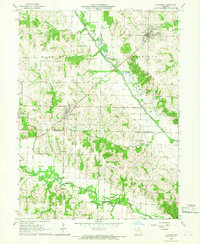 1965 Rutledge1966 Print · USGSScotland and Knox Counties are captured here in the mid-1960s, showing a landscape defined by the Fabius River and the railroad. Genealogists and local historians can trace rural roots at Pauline Cem, Gorin, and the small settlement of Millport.
 - 1981 Map of Kirksville, 1982 Print
 1981 Kirksville1982 Print · USGSNortheast Missouri in the early eighties was a landscape of rail-connected trade towns and significant river valleys. Researchers can trace the legacy of medical education at the Kirksville College of Osteopathic Med or locate family roots in Unionville, Edina, and Bible Grove.
 - 2012 Map of Rutledge, 2012 Print
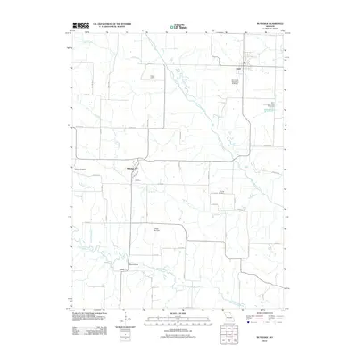 2012 Rutledge2012 Print · USGSCovers Rutledge, including South Gorin, Dancing Rabbit Ecovillage, and other nearby areas
 - 2015 Map of Rutledge, 2015 Print
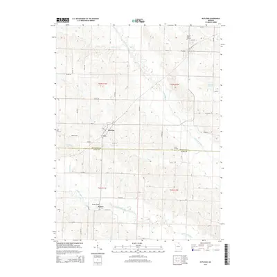 2015 Rutledge2015 Print · USGSCovers Rutledge, including South Gorin, Dancing Rabbit Ecovillage, and other nearby areas
 - 2017 Map of Rutledge, 2017 Print
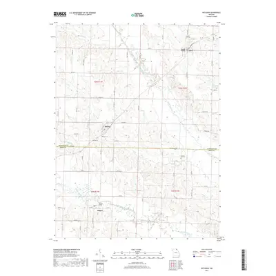 2017 Rutledge2017 Print · USGSCovers Rutledge, including South Gorin, Dancing Rabbit Ecovillage, and other nearby areas
 - 2021 Map of Rutledge, 2021 Print
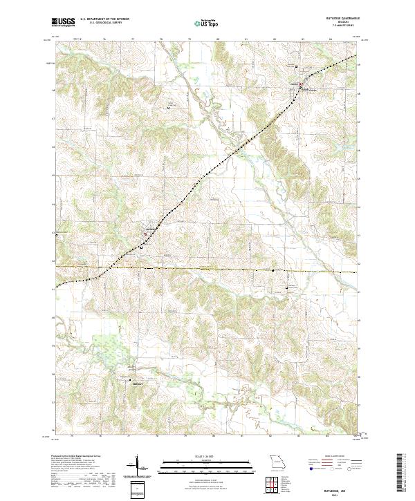 2021 Rutledge2021 Print · USGSNortheast Missouri prairie and river bottomlands come to life in this detailed study of the Scotland and Knox County line. Researchers can trace family roots through numerous burial sites like Indian Creek Cem and Millport Cem, or locate the historic Millport Bridge.
End of results
Showing maps 1-10 of 10
Top cities near Rutledge
- Memphis historical maps
- Edina historical maps
- La Belle historical maps
- Wyaconda historical maps
- Hurdland historical maps
- Knox City historical maps
See more
Frequently asked questions
- What are the different types of historical maps available for Rutledge?
- What is the oldest map of Rutledge?
- Where can I purchase historical maps of Rutledge for my home or office?
- Where can I download high-res historical maps of Rutledge?
- Are there historical topographic maps available for Rutledge?
- Is there historical aerial imagery available for Rutledge?
- Where are historical maps of Rutledge sourced from?