Old Maps of McCord Bend, Missouri for Academic Research
Study the evolution of McCord Bend with 20 high-resolution historic maps. Whether you're teaching, researching, or modeling changes in land use, these maps provide essential visual documentation of urban, environmental, and geographic change.
- Analyze long-term change: Track patterns in development, transportation, and natural features.
- Ideal for environmental or urban studies: Support academic projects with primary historical map data.
- Use in the classroom or lab: Educators and researchers rely on these maps to bring historical context to life.
These maps are a powerful tool for teaching, research, and visualizing how McCord Bend has changed over the decades.
McCord Bend, MO maps
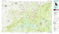
(20)- 1907 Map of Forsyth
 1907 Forsyth1907 Print · USGSThe White River country of southwest Missouri is seen here in the early nineteen-hundreds, prior to the region's major dam projects. Genealogists can trace family homesteads near landmarks like Marble Cave, numerous riverside crossings such as Mabry Ferry, and local landmarks like Loafers Glory School.3 unique versions available
 - 1942 Map of Aurora, 1961 Print
 1942 Aurora1961 Print · USGSThe northern Ozarks come to life in this mid-century survey of the rugged borderlands where three counties meet. Researchers can trace the path of the Missouri Pacific railroad through Aurora or locate family roots at rural landmarks like Charity Cem and Mountain Home Sch.2 unique versions available
 - 1945 Map of Harrison
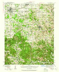
 1945 Harrison1945 Print · USGSThe Ozark and Boston Mountains straddle the Missouri-Arkansas border during the mid-forties, showing a landscape of forest ridges and river valleys. Genealogists and historians can trace rail-connected towns like Monett and West Plains or early lake developments at Bull Shoals Res and Norfork Lake.
 - 1945 Map of Aurora
 1945 Aurora1945 Print · USGSThe Ozark plateau around Aurora and Crane is captured here during the mid-forties, showing a landscape defined by rail junctions and rural school districts. Researchers can trace ancestral locations like Stubblefield Cem, the Clay Hill Ch, and old springs including Bean Factory Spr.2 unique versions available
 - 1949 Map of Harrison
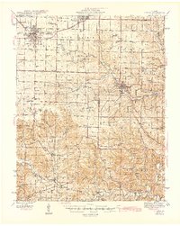
 1949 Harrison1949 Print · USGSThe Ozark highlands of northern Arkansas and southern Missouri are shown just after the war, when the White River still followed its original course. Genealogists and historians can trace rail lines like the Missouri & Arkansas RR and locate rural hubs like Harrison, Eureka Springs, and Mountain Home.
 - 1954 Map of Harrison
 1954 Harrison1954 Print · USGSThe Ozarks and Boston Mountains meet during a period of massive river engineering in the mid-fifties. Researchers can trace the early shorelines of Bull Shoals Lake and Table Rock Reservoir or locate inland towns like Berryville and Harrison.
 - 1956 Map of Galena, 1957 Print
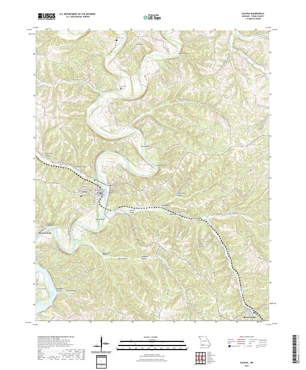
 1956 Galena1957 Print · USGSThe Ozark highlands of Stone County come alive in the mid-1950s as the James River loops past the town of Galena. Genealogists and historians can trace family-named landmarks like Parsons Cem and follow the route of the Missouri Pacific railroad.2 unique versions available
 - 1958 Map of Harrison, 1973 Print
 1958 Harrison1973 Print · USGSThe Ozark and Boston Mountains appear in this mid-century survey as the great White River impoundments were reshaping the region. Researchers can trace the rail lines of the St Louis-San Francisco Ry and locate early settlements like Berryville and Gainesville.
 - 1964 Map of Harrison
 1964 Harrison1964 Print · USGSThe Ozark and Boston Mountains of Arkansas and Missouri are captured here in the mid-sixties, showing the rugged highlands before extensive modern development. Genealogists and historians can trace family-named peaks like Gaither Mountain and follow the St Louis-San Francisco RR through Monett and Purdy.
 - 1974 Map of Elsey, 1977 Print
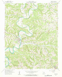
 1974 Elsey1977 Print · USGSStone County’s rugged Ozark terrain and river valleys are captured here in the 1970s as the James River flows toward the reservoir. Genealogists can locate several remote burial sites and congregations, including Carney Cem, Wilson Cem, and Vine Hill Ch.
 - 1985 Map of Table Rock Lake
 1985 Table Rock Lake1985 Print · USGSSouthwest Missouri in the mid-1980s shows a landscape transformed by the waters of the White River and its reservoirs. Genealogists and local historians can trace the intricate shorelines of Table Rock Lake, locate rural crossroads like Jenkins and Madry, and explore the grounds of Roaring River State Park.
 - 1985 Map of Harrison
 1985 Harrison1985 Print · USGSThe Ozark highlands and the White River valley are seen here in the mid-1980s, showcasing a region defined by its massive reservoirs and protected wilderness. You can trace the rugged corridors of the Missouri & North Arkansas RR or locate historic settlements like Eureka Springs and Jasper.
 - 2012 Map of Elsey, 2012 Print
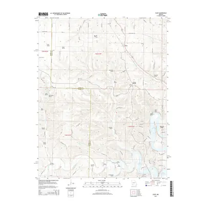
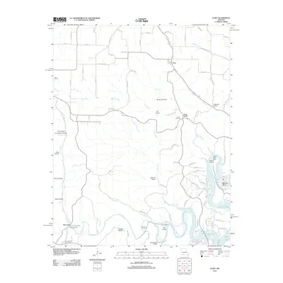 2012 Elsey2012 Print · USGSCovers McCord Bend, including Elsey, Cross Roads, and other nearby areas
 - 2012 Map of Galena, 2012 Print
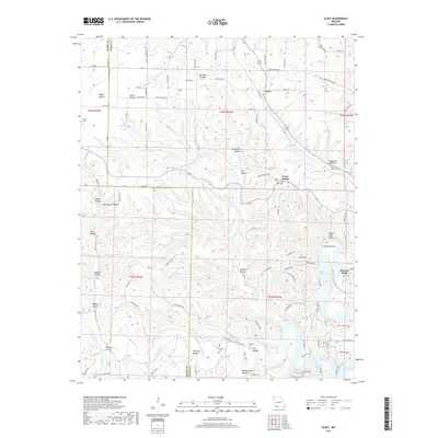
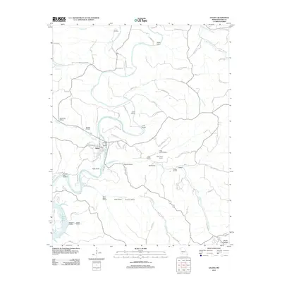 2012 Galena2012 Print · USGSCovers McCord Bend, including Reeds Spring, Galena, and other nearby areas
 - 2015 Map of Galena, 2015 Print
 2015 Galena2015 Print · USGSCovers McCord Bend, including Reeds Spring, Galena, and other nearby areas
 - 2015 Map of Elsey, 2015 Print
 2015 Elsey2015 Print · USGSCovers McCord Bend, including Elsey, Cross Roads, and other nearby areas
 - 2017 Map of Elsey, 2017 Print
 2017 Elsey2017 Print · USGSCovers McCord Bend, including Elsey, Cross Roads, and other nearby areas
 - 2017 Map of Galena, 2017 Print
 2017 Galena2017 Print · USGSCovers McCord Bend, including Reeds Spring, Galena, and other nearby areas
 - 2021 Map of Galena, 2021 Print
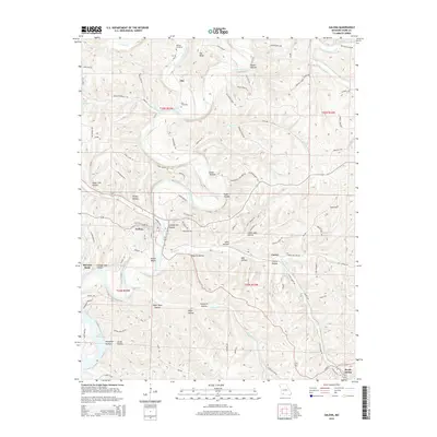
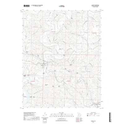
 2021 Galena2021 Print · USGSThe James River and its winding Ozark tributaries define this contemporary look at Galena and Reeds Spring in Stone County. Researchers can trace landownership patterns near the Stone County Courthouse or locate family sites at Parsons Cem and Bass Cem.
 - 2021 Map of Elsey, 2021 Print
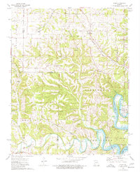
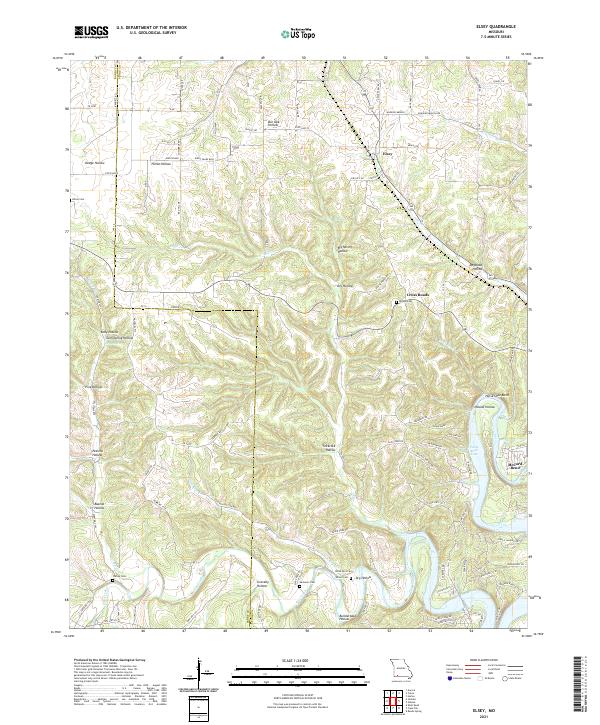 2021 Elsey2021 Print · USGSStone County, Missouri, is captured here in the early 2020s, showing a rugged landscape where traditional Ozark hollows meet the modern shoreline of Table Rock Lake. Researchers can locate family landmarks like Hilton Cem, the settlement at Elsey, and geographic features like Horse Shoe Bend.
End of results
Showing maps 1-20 of 20
Top cities near McCord Bend
- Nixa historical maps
- Branson historical maps
- Aurora historical maps
- Kimberling City historical maps
- Marionville historical maps
- Crane historical maps
See more
Frequently asked questions
- What are the different types of historical maps available for McCord Bend?
- What is the oldest map of McCord Bend?
- Where can I purchase historical maps of McCord Bend for my home or office?
- Where can I download high-res historical maps of McCord Bend?
- Are there historical topographic maps available for McCord Bend?
- Is there historical aerial imagery available for McCord Bend?
- Where are historical maps of McCord Bend sourced from?