Old Maps of Emerson Junction, Montana for Genealogy
Trace your family roots with 12 historic maps of Emerson Junction. These high-res maps reveal old neighborhoods, homesites, landmarks, and streets — helping you uncover where your ancestors lived and how the area evolved over time.
- Explore historic neighborhoods: Identify where your relatives may have lived in the 1800s or 1900s.
- Compare maps over time: Trace the changes in streets, buildings, and landmarks for multi-generational research.
- Perfect for genealogy & ancestry research: Used by family historians and researchers to map out lineage and migration.
These maps are an incredible resource for exploring your personal connection to Emerson Junction's past.
Emerson Junction, MT maps
(12)- 1886 Map of Great Falls
 1886 Great Falls1886 Print · USGSCentral Montana in the mid-1880s is defined by its great river systems and the early footprints of frontier outposts. Researchers can trace the early development of Great Falls, find the site of St. Peter's Mission, and locate river settlements like Truly and Fort Shaw.4 unique versions available
 - 1949 Map of Great Falls, 1966 Print
 1949 Great Falls1966 Print · USGSMid-century Great Falls and the Missouri River basin are shown here during a period of post-war industrial and educational expansion. Researchers can trace the heritage of the area via the Bootlegger Trail, the Black Eagle Dam, and schools like Ursuline Academy and McKinley Sch.
 - 1951 Map of Great Falls
 1951 Great Falls1951 Print · USGSGreat Falls and the surrounding Cascade County plains come alive in this mid-century survey of the Missouri River basin. Genealogists and local historians can trace the early layout of Black Eagle, locate the Ursuline Academy, and follow the historic Bootlegger Trail.2 unique versions available
 - 1954 Map of Great Falls
 1954 Great Falls1954 Print · USGSThe Missouri River valley in the mid-1950s is shown at a time of significant industrial and military growth. Genealogists and historians can locate early schools and rail stops like Tiger Butte Community Center, Fort Benton, and the Anaconda Wire Plant.4 unique versions available
 - 1957 Map of Great Falls
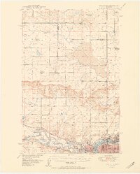
 1957 Great Falls1957 Print · USGSMontana's central plains and mountain foothills are captured here in the mid-fifties, showing the hub of Great Falls and the surrounding grain-shipping towns. Genealogists can trace family roots through the rail sidings of the Great Northern and small rural communities like Sand Coulee or Fort Benton.
 - 1965 Map of Manchester, 1966 Print
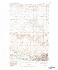
 1965 Manchester1966 Print · USGSManchester and the Sun River valley are captured in the mid-1960s as the railroad and river networks shaped Cascade County life. Researchers can locate the Sunset Memorial Gardens Cem, trace the Great Northern tracks, or find local landmarks like Sun River Park.2 unique versions available
 - 1976 Map of Great Falls North, 1990 Print
 1976 Great Falls North1990 Print · USGSNorth of the Missouri River in the mid-seventies, this survey shows a region defined by extensive irrigation projects and the growing footprint of Great Falls. Researchers can trace the Burlington Northern rail lines through Dutton or locate the sprawling Benton Lake National Wildlife Refuge.
 - 2011 Map of Manchester, 2011 Print
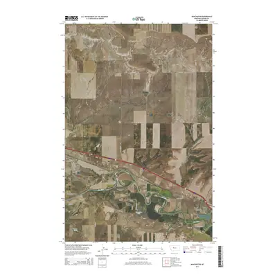
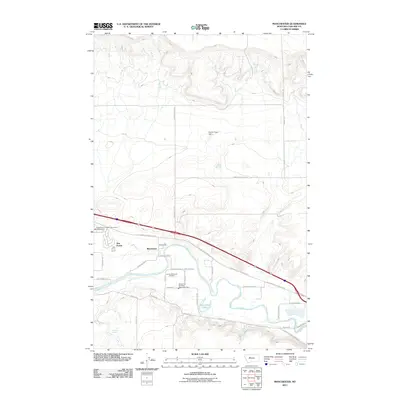 2011 Manchester2011 Print · USGSCovers Emerson Junction, including Sun Prairie, Manchester, and other nearby areas
 - 2014 Map of Manchester, 2014 Print
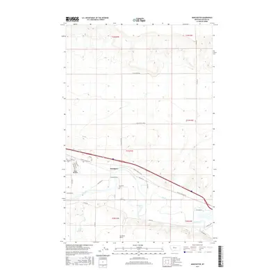
 2014 Manchester2014 Print · USGSCovers Emerson Junction, including Sun Prairie, Manchester, and other nearby areas
 - 2017 Map of Manchester, 2017 Print
 2017 Manchester2017 Print · USGSCovers Emerson Junction, including Sun Prairie, Manchester, and other nearby areas
 - 2020 Map of Manchester, 2020 Print
 2020 Manchester2020 Print · USGSCovers Emerson Junction, including Sun Prairie, Manchester, and other nearby areas
 - 2024 Map of Manchester, 2024 Print
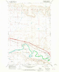
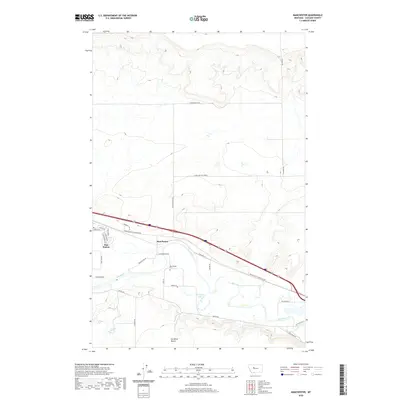
 2024 Manchester2024 Print · USGSThe Sun River valley near Manchester comes into focus in this recent survey of the Cascade County landscape. Genealogists and local historians can locate the Manchester Cem and trace the residential growth of Sun Prairie and Manchester.
End of results
Showing maps 1-12 of 12
Top cities near Emerson Junction
Frequently asked questions
- What are the different types of historical maps available for Emerson Junction?
- What is the oldest map of Emerson Junction?
- Where can I purchase historical maps of Emerson Junction for my home or office?
- Where can I download high-res historical maps of Emerson Junction?
- Are there historical topographic maps available for Emerson Junction?
- Is there historical aerial imagery available for Emerson Junction?
- Where are historical maps of Emerson Junction sourced from?