Old Maps of Vaughn, Montana for Hiking & Exploration
Hike through history with 12 historic maps of Vaughn. Explore old trails, ghost towns, and forgotten backroads — perfect for outdoor adventurers and local explorers.
- Rediscover forgotten places: Map out old mining camps, roads, and footpaths that no longer exist on modern maps.
- Layer with modern tools: Combine with LiDAR or satellite views to plan hikes through historical terrain.
- Made for exploration: Popular among hikers, overlanders, and local history lovers.
Use these maps to find adventure and explore the hidden past of Vaughn.
Vaughn, MT maps
(12)- 1886 Map of Great Falls
 1886 Great Falls1886 Print · USGSCentral Montana in the mid-1880s is defined by its great river systems and the early footprints of frontier outposts. Researchers can trace the early development of Great Falls, find the site of St. Peter's Mission, and locate river settlements like Truly and Fort Shaw.4 unique versions available
 - 1949 Map of Vaughn, 1968 Print
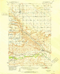
 1949 Vaughn1968 Print · USGSThe Sun River valley is captured here in the late 1940s, showing a landscape defined by industrial rail lines and sophisticated irrigation. You can trace the path of the Great Northern railroad through Vaughn or locate the Gettel School and Sun River Cemetery.
 - 1952 Map of Vaughn
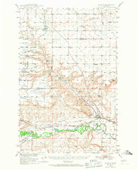
 1952 Vaughn1952 Print · USGSThe Montana benchlands north of Great Falls come into focus in the early fifties, where the Sun River and Muddy Creek meet. Genealogists and historians can trace the irrigation canals, the Great Northern rail lines, and landmarks like Sun River Cemetery or the Gettel School.
 - 1954 Map of Great Falls
 1954 Great Falls1954 Print · USGSThe Missouri River valley in the mid-1950s is shown at a time of significant industrial and military growth. Genealogists and historians can locate early schools and rail stops like Tiger Butte Community Center, Fort Benton, and the Anaconda Wire Plant.4 unique versions available
 - 1957 Map of Great Falls
 1957 Great Falls1957 Print · USGSMontana's central plains and mountain foothills are captured here in the mid-fifties, showing the hub of Great Falls and the surrounding grain-shipping towns. Genealogists can trace family roots through the rail sidings of the Great Northern and small rural communities like Sand Coulee or Fort Benton.
 - 1976 Map of Great Falls North, 1990 Print
 1976 Great Falls North1990 Print · USGSNorth of the Missouri River in the mid-seventies, this survey shows a region defined by extensive irrigation projects and the growing footprint of Great Falls. Researchers can trace the Burlington Northern rail lines through Dutton or locate the sprawling Benton Lake National Wildlife Refuge.
 - 1983 Map of Vaughn
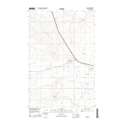
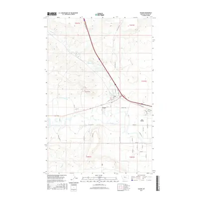
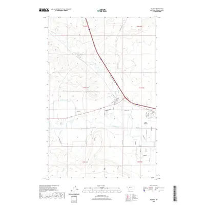
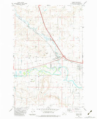 1983 Vaughn1983 Print · USGSThe area around Vaughn and the Sun River valley is captured here in the early eighties as a hub of rail activity and irrigation. Trace the Burlington Northern tracks and the Old Railroad Grade near the Rodeo Ground and local gravel pits.2 unique versions available
 - 2011 Map of Vaughn, 2011 Print
 2011 Vaughn2011 Print · USGSCovers Vaughn, including Cascade County, United States, and other nearby areas
 - 2014 Map of Vaughn, 2014 Print
 2014 Vaughn2014 Print · USGSCovers Vaughn, including Cascade County, United States, and other nearby areas
 - 2017 Map of Vaughn, 2017 Print
 2017 Vaughn2017 Print · USGSCovers Vaughn, including Cascade County, United States, and other nearby areas
 - 2020 Map of Vaughn, 2020 Print
 2020 Vaughn2020 Print · USGSCovers Vaughn, including Cascade County, United States, and other nearby areas
 - 2024 Map of Vaughn, 2024 Print
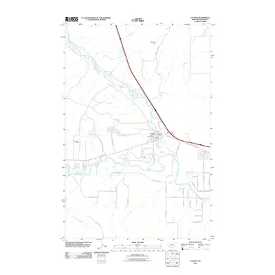
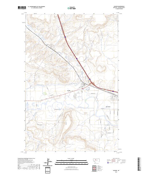 2024 Vaughn2024 Print · USGSThe Sun River valley near Vaughn is captured here in its modern rural character, defined by riverside settlements and agricultural ditches. Researchers can trace local foundations through the Vaughn Cem, the PO in town, and landmarks like Taft Hill.
End of results
Showing maps 1-12 of 12
Top cities near Vaughn
Frequently asked questions
- What are the different types of historical maps available for Vaughn?
- What is the oldest map of Vaughn?
- Where can I purchase historical maps of Vaughn for my home or office?
- Where can I download high-res historical maps of Vaughn?
- Are there historical topographic maps available for Vaughn?
- Is there historical aerial imagery available for Vaughn?
- Where are historical maps of Vaughn sourced from?