Old Maps of Valley View Castle Mobile Home Park, Lewistown for Academic Research
Study the evolution of Valley View Castle Mobile Home Park with 11 high-resolution historic maps. Whether you're teaching, researching, or modeling changes in land use, these maps provide essential visual documentation of urban, environmental, and geographic change.
- Analyze long-term change: Track patterns in development, transportation, and natural features.
- Ideal for environmental or urban studies: Support academic projects with primary historical map data.
- Use in the classroom or lab: Educators and researchers rely on these maps to bring historical context to life.
These maps are a powerful tool for teaching, research, and visualizing how Valley View Castle Mobile Home Park has changed over the decades.
Valley View Castle Mobile Home Park, Lewistown maps
(11)- 1941 Map of Lewistown, 1959 Print
 1941 Lewistown1959 Print · USGSFergus County's mining and ranching heart comes into focus during the early 1940s as the Judith Mountains overlook a bustling rail-fed valley. Trace the legacy of local industry through the Divide Coal Mine, the Heath Post Office, and the early footprint of the Lewistown Airport.3 unique versions available
 - 1944 Map of Lewistown
 1944 Lewistown1944 Print · USGSFergus County at the height of the mid-century mining and rail era reveals a landscape shaped by resource extraction and high-plains settlement. Researchers can trace the legacy of local industry through the Divide Coal Mine, the Oil Refinery, and the State Fish Hatchery.2 unique versions available
 - 1954 Map of Lewistown, 1967 Print
 1954 Lewistown1967 Print · USGSCentral Montana at the height of the mid-century rail era reveals a landscape shaped by the Judith River and high mountain ranges. Trace the old lines of the Great Northern through Lewistown and Denton, or locate sites like Giltedge and Landusky.3 unique versions available
 - 1959 Map of Lewistown
 1959 Lewistown1959 Print · USGSCentral Montana in the mid-1950s shows a landscape defined by the winding Missouri River and the rise of the South Moccasin Mtns. Researchers can trace the rail lines of the Great Northern through towns like Winifred and locate the Cat Creek Oil Field.3 unique versions available
 - 1978 Map of Lewistown, 1994 Print
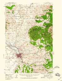
 1978 Lewistown1994 Print · USGSThe heart of central Montana comes alive in the late seventies, centered on the hub of Lewistown and the high summits of the Judith Mountains. Researchers can trace the Burlington Northern rail lines and locate specific regional landmarks like Giltedge, Spring Creek Colony, and Moccasin.
 - 1985 Map of Lewistown, 1986 Print
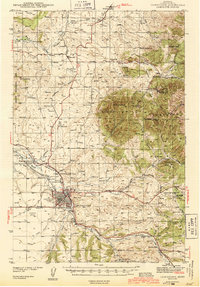
 1985 Lewistown1986 Print · USGSMid-century Fergus County comes into focus in this detailed study of the area's rail junctions and resource hubs. Genealogists and historians can trace the footprint of Lewistown near the Fish Hatchery, Cem, and Roy-Winifred Junction.
 - 2011 Map of Lewistown, 2011 Print
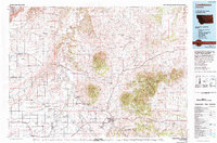
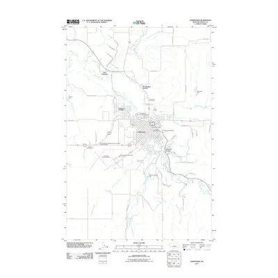 2011 Lewistown2011 Print · USGSCovers Valley View Castle Mobile Home Park, including Lewistown, Lewistown Heights, and other nearby areas
 - 2014 Map of Lewistown, 2014 Print
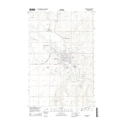 2014 Lewistown2014 Print · USGSCovers Valley View Castle Mobile Home Park, including Lewistown, Lewistown Heights, and other nearby areas
 - 2017 Map of Lewistown, 2017 Print
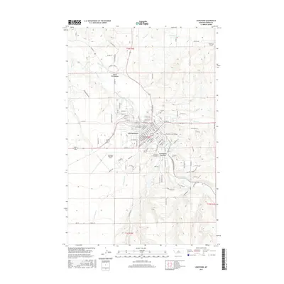 2017 Lewistown2017 Print · USGSCovers Valley View Castle Mobile Home Park, including Lewistown, Lewistown Heights, and other nearby areas
 - 2020 Map of Lewistown, 2020 Print
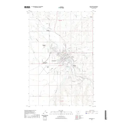 2020 Lewistown2020 Print · USGSCovers Valley View Castle Mobile Home Park, including Lewistown, Lewistown Heights, and other nearby areas
 - 2024 Map of Lewistown, 2024 Print
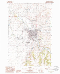
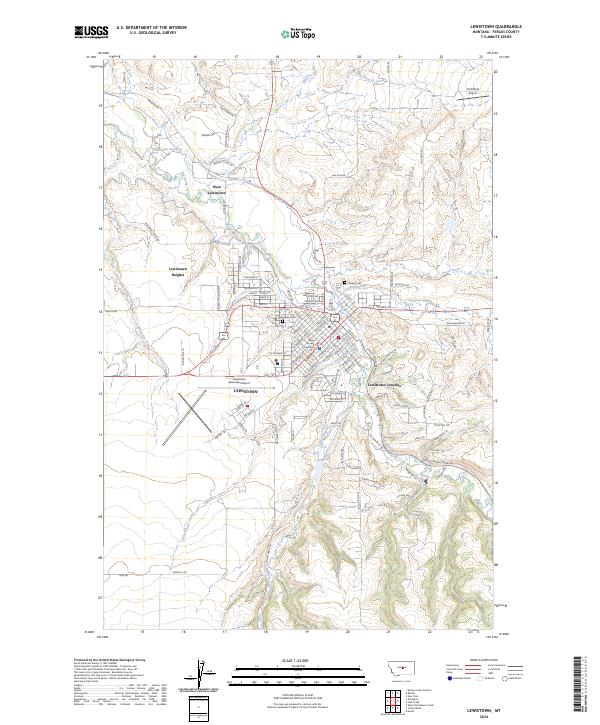 2024 Lewistown2024 Print · USGSLewistown and Fergus County are shown here in the 2020s, highlighting the area's development around the Big Spring Creek valley. Researchers can trace local heritage through landmarks like the Fergus County Courthouse, Lewistown Cem, and Lewistown Junction.
End of results
Showing maps 1-11 of 11
Top cities near Valley View Castle Mobile Home Park
Frequently asked questions
- What are the different types of historical maps available for Valley View Castle Mobile Home Park?
- What is the oldest map of Valley View Castle Mobile Home Park?
- Where can I purchase historical maps of Valley View Castle Mobile Home Park for my home or office?
- Where can I download high-res historical maps of Valley View Castle Mobile Home Park?
- Are there historical topographic maps available for Valley View Castle Mobile Home Park?
- Is there historical aerial imagery available for Valley View Castle Mobile Home Park?
- Where are historical maps of Valley View Castle Mobile Home Park sourced from?