Old Maps of Saint Mary, Montana
Explore 11 old maps of Saint Mary, spanning from 1901 to today. These high-resolution historic maps reveal how streets, neighborhoods, landmarks, and natural features evolved over time — perfect for genealogy, metal detecting, research, and local history exploration.
What you can do with these maps:
- See how Saint Mary changed over time: Compare historical maps to modern-day views to trace roads, homesites, rail lines & more.
- View detailed metadata: Each map includes creators, publishers, year, scale, and archive source.
- Overlay maps with satellite & LiDAR: Visualize the past alongside modern tools to explore terrain & human change.
- Trusted historical sources: Maps sourced from the USGS, Library of Congress, and other archives.
- Access maps your way: View online, download high-res files, or order prints for personal or research use.
Start exploring old maps of Saint Mary to uncover forgotten places, hidden landmarks, and the deep history beneath your feet.
Saint Mary, MT maps
(11)- 1901 Map of Browning, 1959 Print
 1901 Browning1959 Print · USGSThe Blackfeet Indian Reservation and eastern Glacier National Park meet in this early twentieth-century survey. Genealogists and historians can trace old homesteads and landmarks like Galbreath Ranch, the Pontresina Sch, and the Great Northern rail corridor.
 - 1903 Map of Browning
 1903 Browning1903 Print · USGSThe Blackfeet Reservation and the high peaks of northern Montana appear here shortly after the turn of the century. You can trace the path of the Great Northern R. R. through Browning or locate early settlements like St. Mary along the glacial lakes.2 unique versions available
 - 1960 Map of Cut Bank, 1968 Print
 1960 Cut Bank1968 Print · USGSThe high peaks of the Rockies meet the eastern plains in the 1960s, showing the intersection of federal lands and the Blackfeet Indian Reservation. Trace the path of the Great Northern railway and find local landmarks like the Blackfoot Boarding School and Family Mission Cem.3 unique versions available
 - 1963 Map of Cut Bank
 1963 Cut Bank1963 Print · USGSNorthern Montana’s mountain passes and high plains are captured here in the early 1960s. Genealogists and historians can trace the Great Northern rail stops from Browning to Ethridge or locate the remote outposts at Polebridge and Babb.
 - 1964 Map of Cut Bank
 1964 Cut Bank1964 Print · USGSGlacier National Park and the Blackfeet Indian Reservation meet in the early sixties at the triple divide of North America. Researchers can trace the Great Northern Railway through mountain passes and locate local landmarks like the Blackfoot Boarding School and Apgar Village.
 - 1968 Map of Saint Mary, 1971 Print
 1968 Saint Mary1971 Print · USGSThe eastern gateway to the high Rockies is captured in the late sixties as visitors arrived at the Saint Mary entrance station. Trace early park infrastructure and tribal lands from the Going-To-The-Sun Road to the Blackfeet Indian Reservation Boundary.3 unique versions available
 - 2011 Map of Saint Mary, 2011 Print
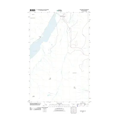 2011 Saint Mary2011 Print · USGSGlacier County's eastern mountain gateway is documented in the early twenty-first century as it borders the high peaks. Researchers can trace the path of Going To The Sun Rd near Saint Mary Lake and locate landmarks like Divide Mountain and Johnsons Campground.
 - 2014 Map of Saint Mary, 2014 Print
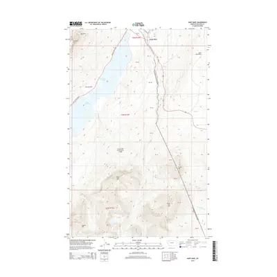 2014 Saint Mary2014 Print · USGSSaint Mary sits at the threshold of the Rockies in the early twenty-first century, where the prairie meets the high peaks of Glacier National Park. Researchers can trace the route of the Going To The Sun Rd and locate landmarks like Two Dog Flats and Divide Mtn.
 - 2017 Map of Saint Mary, 2017 Print
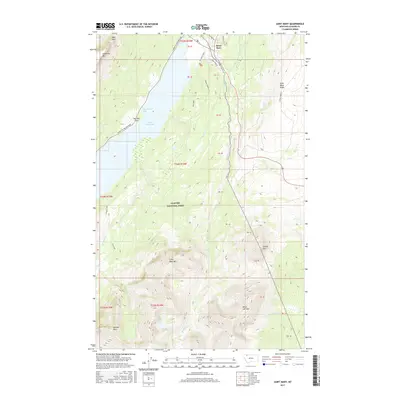 2017 Saint Mary2017 Print · USGSSaint Mary sits at the eastern threshold of the high Rockies during the twenty-first century, marking where the plains meet the peaks. Researchers can trace the famous Going-To-The-Sun Road past Two Dog Flats and locate summits like Divide Mtn.
 - 2020 Map of Saint Mary, 2020 Print
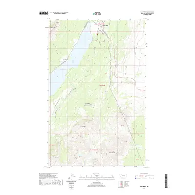 2020 Saint Mary2020 Print · USGSGlacier County's high country is captured here in the contemporary era, centered on the gateway settlement of Saint Mary. Outdoor enthusiasts and researchers can trace the legendary Going-To-The-Sun Road alongside high peaks like Divide Mtn and Singleshot Mtn.
 - 2024 Map of Saint Mary, 2024 Print
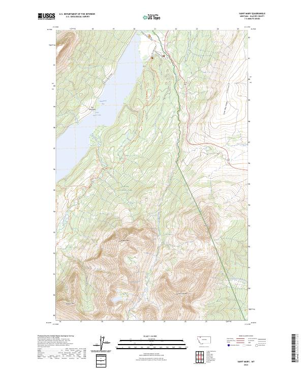 2024 Saint Mary2024 Print · USGSSaint Mary and the eastern gateway to Glacier National Park are documented here during the early 2020s. Researchers can trace the path of the Going-To-The-Sun Road and locate landmarks like Two Dog Flats, Divide Mtn, and Mackinaw Bay.
End of results
Showing maps 1-11 of 11
Frequently asked questions
- What are the different types of historical maps available for Saint Mary?
- What is the oldest map of Saint Mary?
- Where can I purchase historical maps of Saint Mary for my home or office?
- Where can I download high-res historical maps of Saint Mary?
- Are there historical topographic maps available for Saint Mary?
- Is there historical aerial imagery available for Saint Mary?
- Where are historical maps of Saint Mary sourced from?