2000s (21st Century) Maps of Clancy, Montana
Explore 6 historic maps of Clancy from the 2000s (21st Century). These maps offer a rare glimpse into what life looked like during the 2000s — showing old roads, neighborhoods, homes, and landmarks that have changed or disappeared over time.
Whether you're researching your family's past, planning a metal detecting trip, or studying how Clancy's landscape evolved across the 2000s, these high-resolution maps are a powerful tool for exploring the history of this region.
- Focus on a specific era: All maps on this page are from the 2000s, giving you a focused view of this time period.
- See what’s changed: Compare century-old streets, trails, and buildings to today's modern landscape using overlays and satellite layers.
- Research with precision: Use these maps for genealogy, historical research, land use analysis, or educational projects.
- View, download, or print: Maps are fully viewable online in high resolution, and can be downloaded or printed for your own records.
Start exploring Clancy's history through authentic maps from the 2000s. This is your window into the past.
Clancy, MT maps
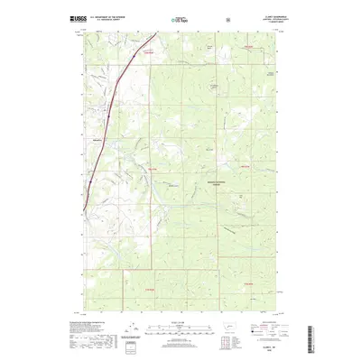
(6)- 2001 Map of Clancy, 2004 Print
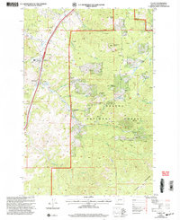 2001 Clancy2004 Print · USGSJefferson County mining country is detailed in this turn-of-the-century survey of the rugged corridor south of Helena. Researchers can trace the layout of Clancy, the historic Alhambra Hot Springs, and a dense network of high-altitude Mine Shafts.
 - 2011 Map of Clancy, 2011 Print
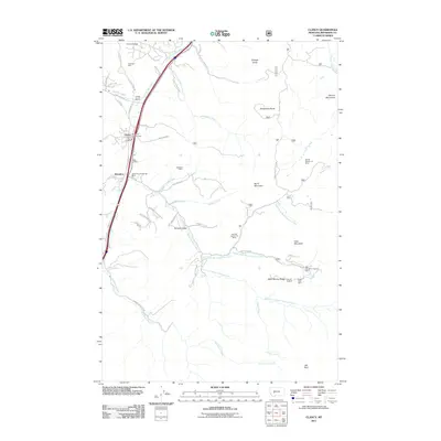 2011 Clancy2011 Print · USGSCovers Clancy, including Alhambra, Jefferson County, and other nearby areas
 - 2014 Map of Clancy, 2014 Print
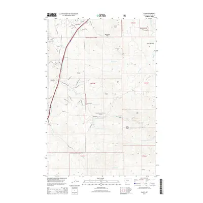 2014 Clancy2014 Print · USGSCovers Clancy, including Alhambra, Jefferson County, and other nearby areas
 - 2017 Map of Clancy, 2017 Print
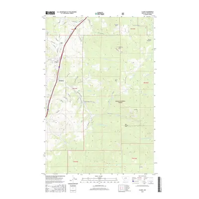 2017 Clancy2017 Print · USGSCovers Clancy, including Alhambra, Jefferson County, and other nearby areas
 - 2020 Map of Clancy, 2020 Print
 2020 Clancy2020 Print · USGSCovers Clancy, including Alhambra, Jefferson County, and other nearby areas
 - 2024 Map of Clancy, 2024 Print
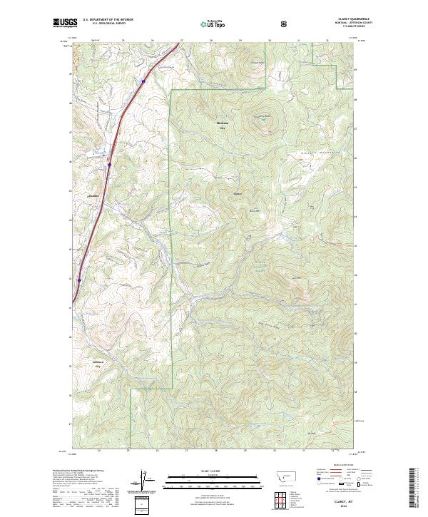 2024 Clancy2024 Print · USGSThe Jefferson County corridor south of Helena comes into focus during its modern expansion. Researchers can trace the development of Montana City and Clancy alongside the natural boundaries of the Helena National Forest and Prickly Pear Creek.
End of results
Showing maps 1-6 of 6
Top cities near Clancy
- Helena historical maps
- Montana City historical maps
- East Helena historical maps
- Boulder historical maps
Frequently asked questions
- What are the different types of historical maps available for Clancy?
- What is the oldest map of Clancy?
- Where can I purchase historical maps of Clancy for my home or office?
- Where can I download high-res historical maps of Clancy?
- Are there historical topographic maps available for Clancy?
- Is there historical aerial imagery available for Clancy?
- Where are historical maps of Clancy sourced from?